Gmina Otmuchów
Located in Nysa County, Opole Voivodeship Coordinates: 50°27′55″ N 17°07′25″ E
- Population
- 13,634
- 13.6K
- Elevation
- 207 m
- above sea level
- Local time
- UTC+01:00
- Europe/Warsaw · UTC+01:00
- Places inside
- 6
- listed under Gmina Otmuchów
About Gmina Otmuchów
Gmina Otmuchów is a municipality. Location: Nysa County, Opole Voivodeship. Population: 13,634. Elevation: 207 m.
In comparison
- No. 3 of 9 places in Nysa County by population
- Nearest larger town: Nysa, 15 km E
- Listed here: Village: 5, Town: 1
Airports nearest to Gmina Otmuchów
- Copernicus Wrocław Airport (WRO) Wrocław 73 km
- Pardubice Airport (PED) Pardubice 111 km
- Leoš Janáček Airport Ostrava (OSR) Mošnov 111 km
Straight-line distance; airports with scheduled flights only. Source: OurAirports (public domain).
Places in Gmina Otmuchów
6 places-
Otmuchów Town5.2K
-
Maciejowice Village750
-
Kałków Village665
-
Jasienica Górna Village396
-
Wierzbno Village361
-
Sliwice Village310
Nearby attractions & nature
Everything nearby-
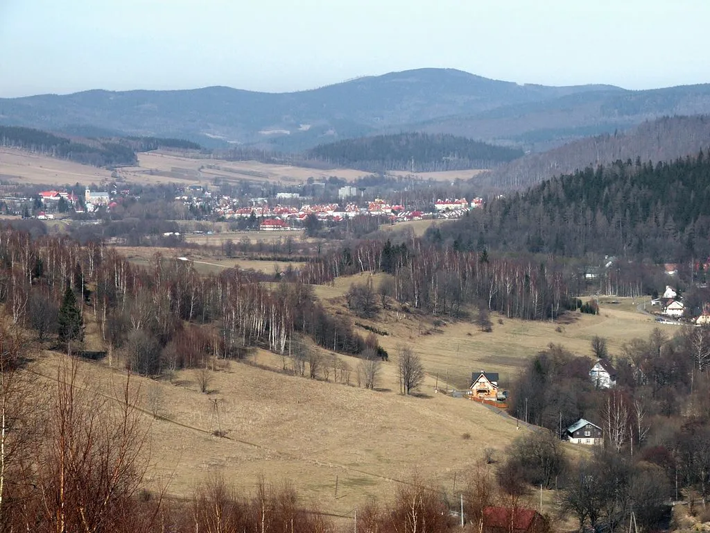 Borówkowa Mountain, Gmina Lądek-Zdrój18 km SW
-
Špičák Mountain, Skorošice20 km SW
-
Kikol Mountain, Złoty Stok19 km W
-
Orłówka Mountain, Gmina Lądek-Zdrój19 km SW
-
Bukowa Kopa Mountain, Gmina Lądek-Zdrój19 km SW
-
Nízká hora Mountain, Supíkovice20 km SE
-
Ciecierza Mountain, Złoty Stok20 km W
-
Wójtowa Mountain, Gmina Lądek-Zdrój20 km SW
Sources & licences
Data last updated: