Sliwice
Local name: Śliwice
Located in Gmina Otmuchów, Nysa County Coordinates: 50°26′51″ N 17°09′59″ E
- Population
- 310
- 310
- Elevation
- 201 m
- above sea level
- Local time
- UTC+01:00
- Europe/Warsaw · UTC+01:00
- Airports
- WRO Copernicus Wrocław Airport76 km
- OSR Leoš Janáček Airport Ostrava108 km
About Sliwice
Sliwice is a village. Location: Gmina Otmuchów, Nysa County. Population: 310. Elevation: 201 m.
Śliwice [ɕliˈvit͡sɛ] (German: Schleibitz) is a neighbourhood of Otmuchów, Poland, located in the southern part of the town.
Source: Wikipedia · CC BY-SA 4.0
Climate of Sliwice
Best months for sightseeingBest months for sightseeing: June–September.
This month · November
A cold month
Day 6° · Night 1° · Rain 35 mm
- Hottest month
- August (day 23°)
- Coldest month
- January (night -4°)
- Wettest month
- July (88 mm)
- Driest month
- February (23 mm)
Bars: average monthly low and high temperature. Below: precipitation. Monthly averages for 1970–2000 at about 18 km resolution, adjusted for elevation. Highlighted months are mild and relatively dry. Source: WorldClim 2.1 (CC BY 4.0).
Show values as a table
| Month | Jan | Feb | Mar | Apr | May | Jun | Jul | Aug | Sep | Oct | Nov | Dec |
|---|---|---|---|---|---|---|---|---|---|---|---|---|
| Average high (°C) | 2° | 3° | 8° | 13° | 19° | 21° | 23° | 23° | 19° | 13° | 6° | 3° |
| Average low (°C) | -4° | -3° | 0° | 3° | 8° | 11° | 12° | 12° | 9° | 5° | 1° | -2° |
| Precipitation (mm) | 25 | 23 | 28 | 37 | 62 | 86 | 88 | 76 | 51 | 37 | 35 | 31 |
Other places to visit in this season: June July August September
How to get to Sliwice
The nearest airport is Copernicus Wrocław Airport (WRO), 76 km to the north as the crow flies. The nearest large city is Brno, 145 km to the south.
Airports
- Copernicus Wrocław Airport (WRO) Wrocław 76 kmnorth
- Leoš Janáček Airport Ostrava (OSR) Mošnov 108 kmsoutheast
- Pardubice Airport (PED) Pardubice 113 kmsouthwest
Nearby large cities
- Brno Population: 404.3K 145 kmsouth
- Prague Population: 1.2M 200 kmwest
- Dresden Population: 564.9K 251 kmwest
- Bratislava Population: 423.7K 256 kmsouth
- Chemnitz Population: 247.2K 303 kmwest
Straight-line distances; road distances are longer. Airport data: OurAirports.
Day trips from Sliwice
Within 100 km: 55 historic and cultural sites, 460 natural sites.
0–25 km40 places
- Tylna Kopa Mountain 23 kmSE
- Jawornik Wielki Mountain 23 kmW
- Konik Mountain 23 kmSW
- Trzmielak Mountain 25 kmW
25–60 km251 places
- Sucha Kopa Mountain 27 kmSW
- Goworek Mountain 38 kmSW
- Ptak Mountain 58 kmW
- Kłobuk Mountain 51 kmW
60–100 km224 places
- Bielec Mountain 97 kmNW
- Czuba Mountain 82 kmNW
- Włodarz Mountain 60 kmNW
- Góra Wały Mountain 80 kmNW
Straight-line distances.
Nearby attractions & nature
Everything nearby-
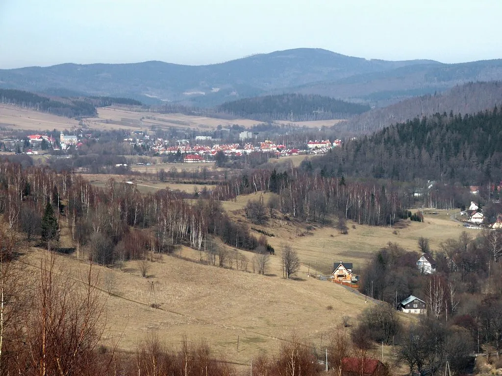 Borówkowa Mountain, Gmina Lądek-Zdrój20 km W
-
Nízká hora Mountain, Supíkovice17 km S
-
Przednia Kopa Mountain, Głuchołazy22 km SE
-
Średnia Kopa Mountain, Głuchołazy22 km SE
-
Tylna Kopa Mountain, Głuchołazy23 km SE
-
Špičák Mountain, Skorošice20 km SW
Sources & licences
Data last updated: · 2 independent sources