Filipów
Located in Powiat suwalski, Podlasie Voivodship Coordinates: 54°10′51″ N 22°37′20″ E
- Population
- 4,387
- 4.4K
- Elevation
- 182 m
- above sea level
- Local time
- UTC+01:00
- Europe/Warsaw · UTC+01:00
- Places inside
- 2
- listed under Filipów
- Airports
- KUN Kaunas International Airport129 km
- SZY Olsztyn-Mazury Airport135 km
About Filipów
Filipów is a municipality. Location: Powiat suwalski, Podlasie Voivodship. Population: 4,387. Elevation: 182 m. The best months to visit are June–August. The nearest airport is Kaunas International Airport (129 km). Nearby sights include Góra Leszczynowa and Szeska Góra.
Climate of Filipów
Best months for sightseeingBest months for sightseeing: June–August.
This month · November
A cold month
Day 4° · Night -1° · Rain 51 mm
- Hottest month
- July (day 22°)
- Coldest month
- January (night -6°)
- Wettest month
- July (84 mm)
- Driest month
- February (27 mm)
Bars: average monthly low and high temperature. Below: precipitation. Monthly averages for 1970–2000 at about 18 km resolution, adjusted for elevation. Highlighted months are mild and relatively dry. Source: WorldClim 2.1 (CC BY 4.0).
Show values as a table
| Month | Jan | Feb | Mar | Apr | May | Jun | Jul | Aug | Sep | Oct | Nov | Dec |
|---|---|---|---|---|---|---|---|---|---|---|---|---|
| Average high (°C) | -1° | -1° | 4° | 11° | 18° | 20° | 22° | 22° | 16° | 10° | 4° | 0° |
| Average low (°C) | -6° | -6° | -3° | 2° | 7° | 10° | 12° | 11° | 8° | 4° | -1° | -5° |
| Precipitation (mm) | 36 | 27 | 35 | 37 | 54 | 74 | 84 | 69 | 56 | 52 | 51 | 44 |
How to get to Filipów
The nearest airport is Kaunas International Airport (KUN), 129 km to the northeast as the crow flies. The nearest large city is Kaunas, 116 km to the northeast.
Airports
- Kaunas International Airport (KUN) Kaunas 129 kmnortheast
- Olsztyn-Mazury Airport (SZY) Szymany 135 kmsouthwest
- Khrabrovo Airport (KGD) Kaliningrad 153 kmnorthwest
Nearby large cities
- Kaunas Population: 289.4K 116 kmnortheast
- Vilnius Population: 542.4K 181 kmeast
- Klaipėda Population: 172.3K 195 kmnorthwest
- Riga Population: 742.6K 322 kmnorth
Straight-line distances; road distances are longer. Airport data: OurAirports.
Day trips from Filipów
Within 100 km: 11 historic and cultural sites, 8 natural sites, 8 lakes, rivers and coasts.
0–25 km3 places
- Góra Leszczynowa Mountain 14 kmNE
- Szeska Góra Mountain 19 kmW
- Góra Zamkowa Mountain 18 kmE
25–60 km7 places
- Audyniskie Góra Mountain 34 kmW
- Jezioro Gaładuś Lake 52 kmE
- Piłaki Mountain 42 kmW
- Vištyčio ežeras Lake 28 kmN
60–100 km17 places
- Janów Ghetto Historic site 89 kmSE
- Jasionówka Ghetto Historic site 93 kmS
- Ežeras Veisiejis Lake 65 kmE
- Ežeras Metelys Lake 76 kmE
Straight-line distances.
Places in Filipów
2 placesBar: population relative to the most populous place in this list.
Cities & villages1
- Garbas Drugi · Village
Nearby attractions & nature
Everything nearby-
Góra Leszczynowa Mountain, Przerośl14 km NE
-
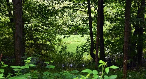 Szeska Góra Mountain, Kowale Oleckie19 km W
-
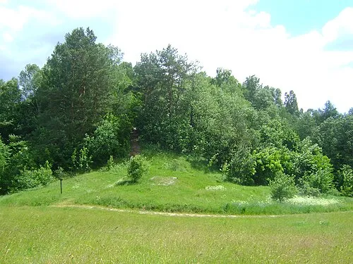 Góra Zamkowa Mountain, Gmina Jeleniewo18 km E
Sources & licences
Data last updated: