- Population
- 38,789
- 38.8K
- Elevation
- 152 m
- above sea level
- Local time
- UTC+01:00
- Europe/Warsaw · UTC+01:00
- Airports
- BZG Ignacy Jan Paderewski Bydgoszcz Airport72 km
- GDN Gdańsk Lech Wałęsa Airport96 km
About Chojnice
Chojnice is a town. Location: Chojnice, Chojnice County. Population: 38,789. Elevation: 152 m.
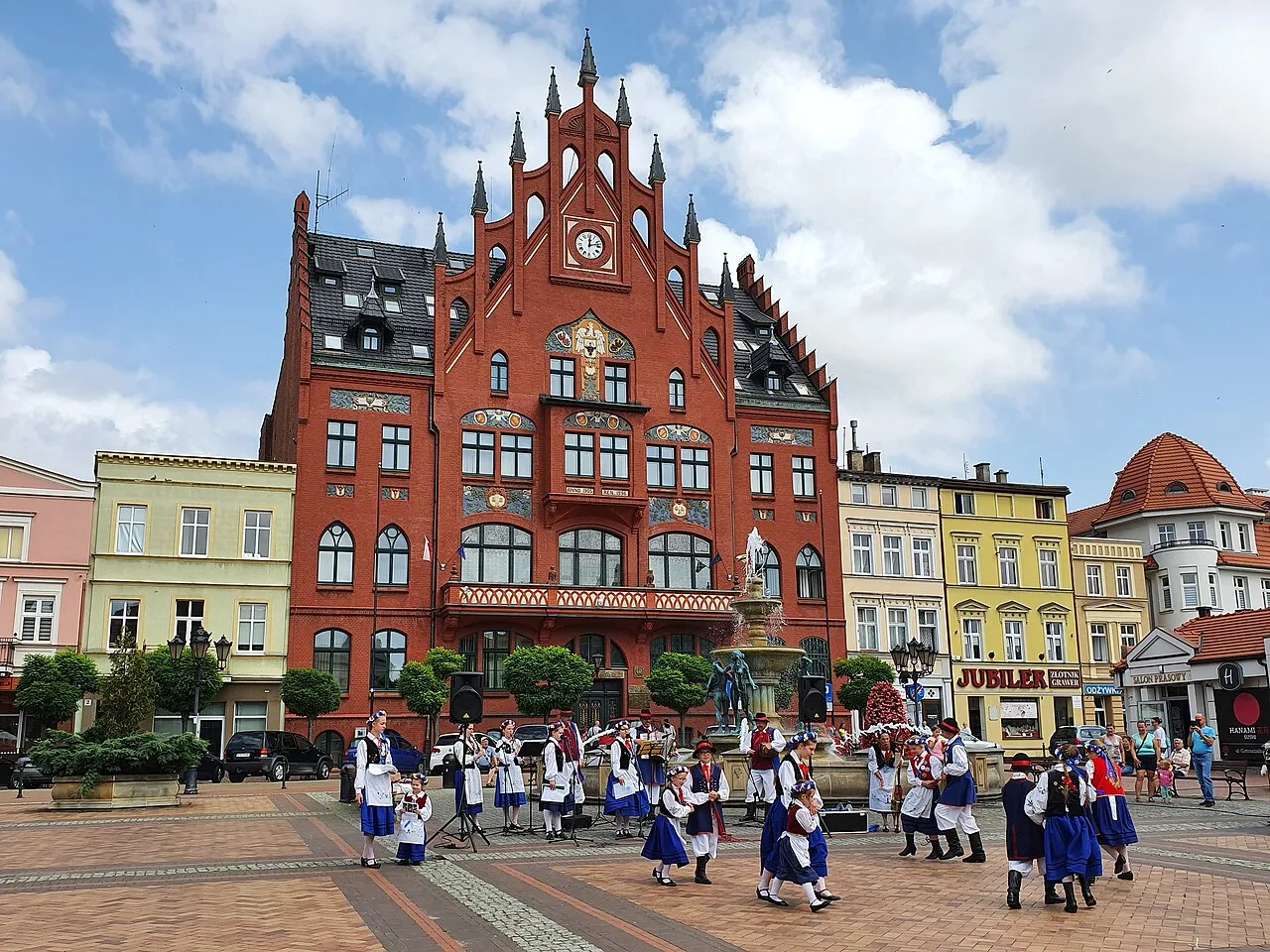
Chojnice (Polish: [xɔjˈɲit͡sɛ] ; Kashubian: Chònice or Chòjnice; German: Konitz or Conitz) is a town in northern Poland with a population of 38,789 (as of June 2023), near the Tuchola Forest. It is the capital of Chojnice County in the Pomeranian Voivodeship. Founded in c. 1205, Chojnice is a former royal city of Poland and was an important center of cloth production.
Source: Wikipedia · CC BY-SA 4.0
Photos of Chojnice
-

Gliwi · CC0 -

Jaqbpl · CC BY-SA 3.0 -

Macekjan · CC BY-SA 4.0 -

Macekjan · CC BY-SA 4.0 -

Jaqbpl · CC BY-SA 3.0


Climate of Chojnice
Best months for sightseeingBest months for sightseeing: June–August.
This month · November
A cold month
Day 5° · Night 0° · Rain 45 mm
- Hottest month
- July (day 22°)
- Coldest month
- January (night -5°)
- Wettest month
- July (70 mm)
- Driest month
- February (25 mm)
Bars: average monthly low and high temperature. Below: precipitation. Monthly averages for 1970–2000 at about 18 km resolution, adjusted for elevation. Highlighted months are mild and relatively dry. Source: WorldClim 2.1 (CC BY 4.0).
Show values as a table
| Month | Jan | Feb | Mar | Apr | May | Jun | Jul | Aug | Sep | Oct | Nov | Dec |
|---|---|---|---|---|---|---|---|---|---|---|---|---|
| Average high (°C) | 0° | 1° | 5° | 12° | 18° | 20° | 22° | 22° | 17° | 11° | 5° | 1° |
| Average low (°C) | -5° | -4° | -1° | 3° | 7° | 10° | 12° | 12° | 9° | 5° | 0° | -3° |
| Precipitation (mm) | 34 | 25 | 35 | 34 | 51 | 67 | 70 | 57 | 53 | 46 | 45 | 41 |
How to get to Chojnice
The nearest airport is Ignacy Jan Paderewski Bydgoszcz Airport (BZG), 72 km to the southeast as the crow flies. For international flights: Gdańsk Lech Wałęsa Airport (GDN) (96 km). The nearest large city is Berlin, 307 km to the southwest.
Airports
- Ignacy Jan Paderewski Bydgoszcz Airport (BZG) Bydgoszcz 72 kmsoutheast
- Gdańsk Lech Wałęsa Airport (GDN) Gdańsk 96 kmnortheast
- Poznań-Ławica Airport (POZ) Poznań 150 kmsouth
Nearby large cities
- Berlin Population: 3.4M 307 kmsouthwest
- Klaipėda Population: 172.3K 322 kmnortheast
- Potsdam Population: 184.8K 334 kmsouthwest
- Rostock Population: 198.3K 359 kmwest
- Malmö Population: 362.1K 363 kmnorthwest
Straight-line distances; road distances are longer. Airport data: OurAirports.
Day trips from Chojnice
Within 100 km: 21 historic and cultural sites, 35 natural sites.
0–25 km5 places
- Góry Obkaskie Mountain 15 kmS
- Wzgorze nad Niezywieciem Mountain 5 kmNW
- Góra Wolność Mountain 7 kmNW
- Wzgorze nad Charzykowami Mountain 7 kmNW
25–60 km1 place
- Wlk. Klincz 178 Mountain 54 kmNE
60–100 km50 places
- Gontyniec Mountain 93 kmSW
- Wzgorza nad Szczodrowem S Mountain 72 kmNE
- Góra Dziewcza Mountain 76 kmS
- Spyczyna Góry Mountain 88 kmW
Straight-line distances.
Nearby attractions & nature
Everything nearby-
Wzgorze nad Niezywieciem Mountain, Człuchów4.5 km NW
-
Wzgorze nad Charzykowami Mountain, Chojnice6.7 km NW
-
Góra Wolność Mountain, Chojnice6.8 km NW
-
Góry Obkaskie Mountain, Kujawsko-Pomorskie Voivodship15 km S
-
Bruss-Sophienwalde Concentration Camp Historic site, Brusy24 km NE
Sources & licences
Data last updated: · 2 independent sources