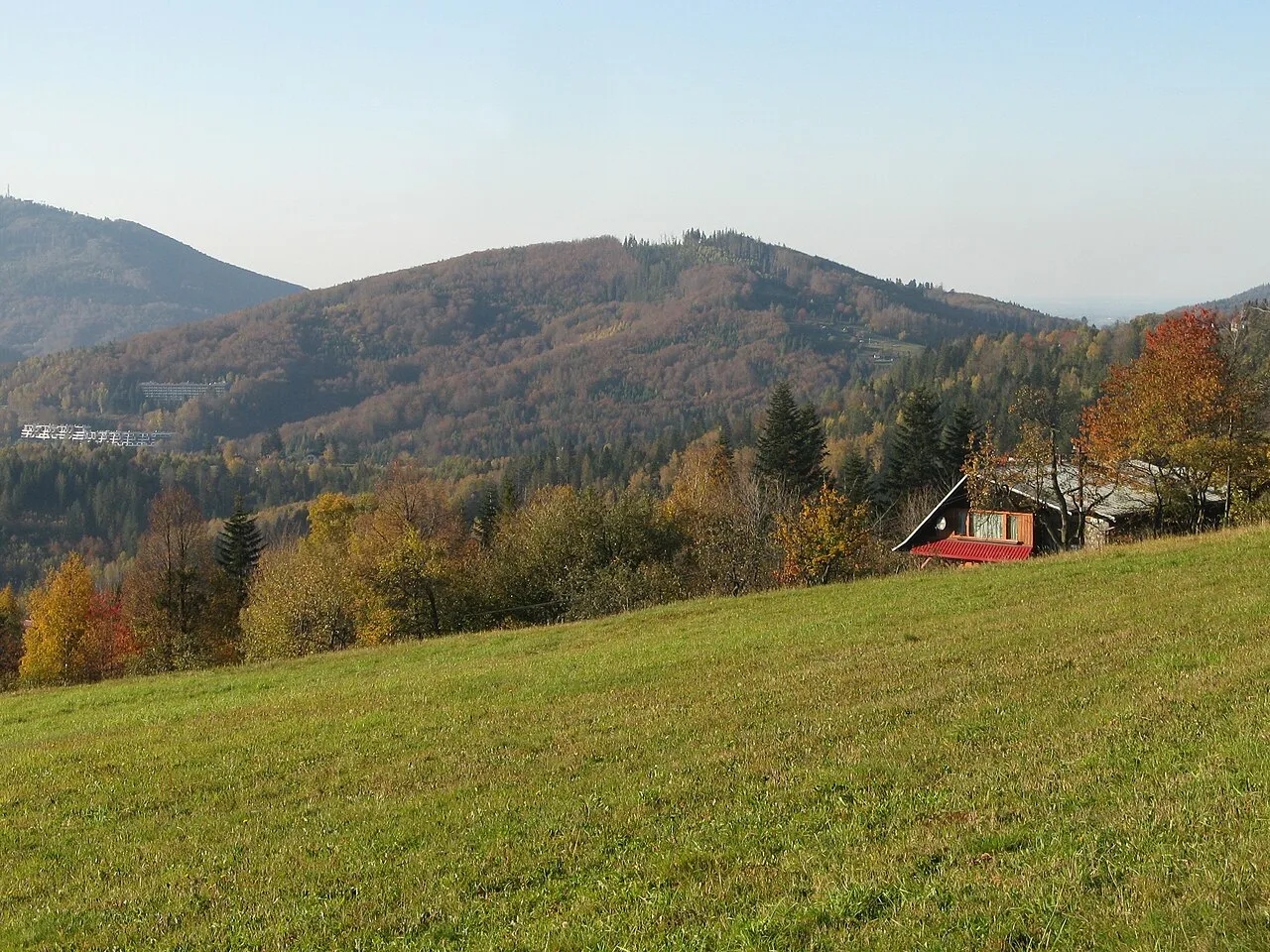
- Elevation
- 713 m
- above sea level
- Local time
- UTC+01:00
- Europe/Warsaw · UTC+01:00
- Airports
- OSR Leoš Janáček Airport Ostrava54 km
- KRK Kraków John Paul II International Airport80 km
About Bukowa
Bukowa is a mountain. Location: Wisła, Cieszyn County. Elevation: 713 m. The best months to visit are June–August. The nearest airport is Leoš Janáček Airport Ostrava (54 km). Nearby sights include Orłowa and Trzy Kopce.
Photos of Bukowa
-

Adrian Tync · CC BY-SA 4.0 -

Jerzy Opioła · CC BY-SA 4.0 -

Jerzy Opioła · CC BY-SA 4.0 -

Jerzy Opioła · CC BY-SA 4.0 -

Jerzy Opioła · CC BY-SA 4.0


Climate of Bukowa
Best months for sightseeingBest months for sightseeing: June–August.
This month · November
A cold month
Day 4° · Night -2° · Rain 62 mm
- Hottest month
- July (day 20°)
- Coldest month
- January (night -7°)
- Wettest month
- June (121 mm)
- Driest month
- February (48 mm)
Bars: average monthly low and high temperature. Below: precipitation. Monthly averages for 1970–2000 at about 18 km resolution, adjusted for elevation. Highlighted months are mild and relatively dry. Source: WorldClim 2.1 (CC BY 4.0).
Show values as a table
| Month | Jan | Feb | Mar | Apr | May | Jun | Jul | Aug | Sep | Oct | Nov | Dec |
|---|---|---|---|---|---|---|---|---|---|---|---|---|
| Average high (°C) | -1° | 1° | 5° | 10° | 16° | 19° | 20° | 20° | 16° | 11° | 4° | 1° |
| Average low (°C) | -7° | -6° | -3° | 1° | 5° | 8° | 10° | 10° | 7° | 3° | -2° | -5° |
| Precipitation (mm) | 50 | 48 | 52 | 66 | 96 | 121 | 121 | 113 | 83 | 61 | 62 | 62 |
How to get to Bukowa
The nearest airport is Leoš Janáček Airport Ostrava (OSR), 54 km to the west as the crow flies. The nearest large city is Brno, 172 km to the west.
Airports
- Leoš Janáček Airport Ostrava (OSR) Mošnov 54 kmwest
- Kraków John Paul II International Airport (KRK) Balice 80 kmnortheast
- Katowice Wojciech Korfanty International Airport (KTW) Katowice 91 kmnorth
Nearby large cities
- Brno Population: 404.3K 172 kmwest
- Miskolc Population: 154.5K 224 kmsoutheast
- Győr Population: 129.3K 239 kmsouthwest
- Székesfehérvár Population: 101.6K 278 kmsouth
- Nyíregyháza Population: 117.7K 284 kmsoutheast
Straight-line distances; road distances are longer. Airport data: OurAirports.
Day trips from Bukowa
Within 100 km: 55 historic and cultural sites, 335 natural sites.
0–25 km66 places
- Bucze Mountain 12 kmN
- Zabawa Mountain 22 kmSE
- Wysokie Mountain 13 kmNE
- Rachowiec Mountain 22 kmSE
25–60 km136 places
- Bugaj Mountain 33 kmS
- Główniak Mountain 53 kmE
- Wyżni Syhlec Mountain 54 kmE
- Niżni Syhlec Mountain 54 kmE
60–100 km188 places
- Strčí Hlava Mountain 74 kmSW
- Obidowiec Mountain 88 kmE
- Křížový Mountain 76 kmSW
- Przysłop Mountain 98 kmE
Straight-line distances.
Nearest towns and villages
Nearby attractions & nature
Everything nearby-
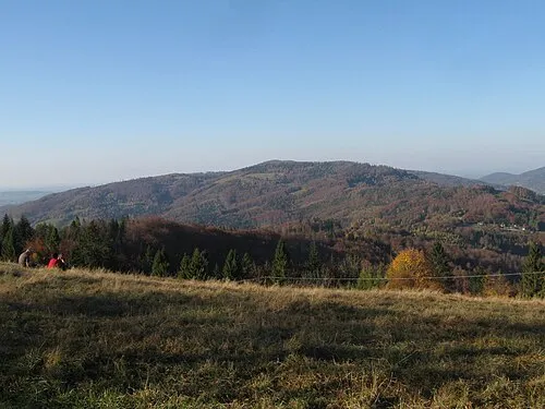 Orłowa Mountain, Brenna3.1 km NE
-
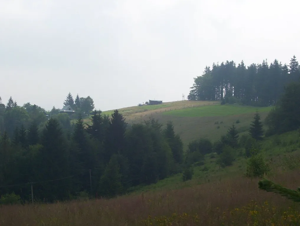 Trzy Kopce Mountain, Brenna3.5 km E
-
Beskidek Mountain, Brenna3.5 km N
-
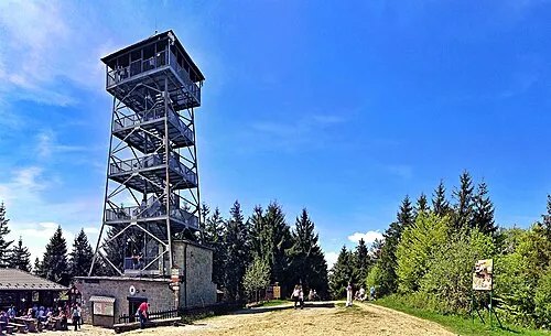 Czantoria Wielka Mountain, Wisła4.1 km W
-
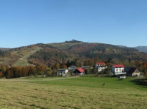 Czupel Mountain, Wisła4.9 km SE
-
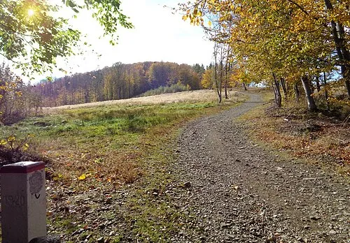 Soszów Mały Mountain, Wisła4.6 km SW
-
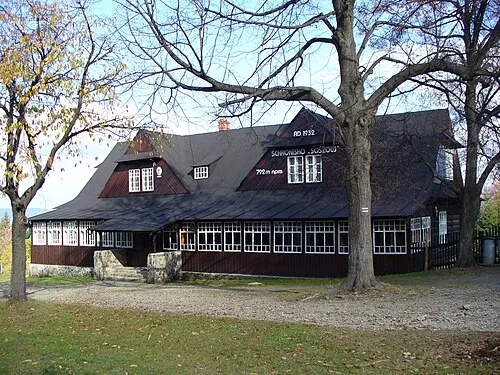 Soszów Wielki Mountain, Silesian Voivodeship5.5 km SW
-
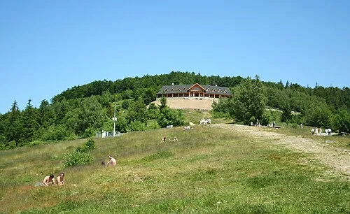 Równica Mountain, Brenna5.8 km N
More nature in Poland
-
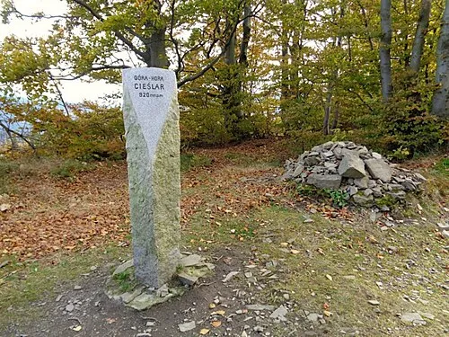 Cieślar Mountain, Wisła6.2 km SW
-
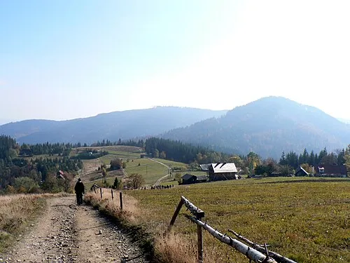 Mały Stożek Mountain, Wisła6.9 km SW
-
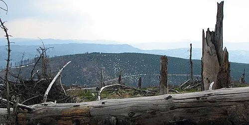 Malinów Mountain, Wisła8.5 km E
-
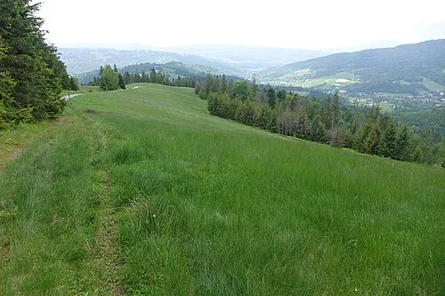 Cienków Postrzedni Mountain, Wisła7.9 km SE
-
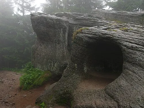 Malinowska Skała Mountain, Wisła10 km E
-
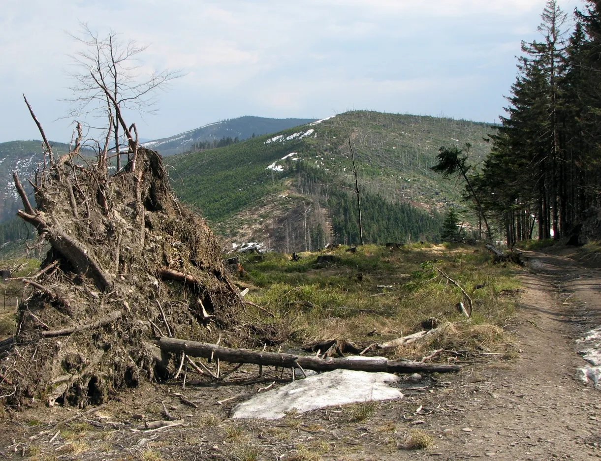 Zielony Kopiec Mountain, Wisła11 km E
Sources & licences
Data last updated: · 2 independent sources