Gmina Kłomnice
Located in Częstochowa County, Silesian Voivodeship Coordinates: 50°55′18″ N 19°21′25″ E
- Population
- 13,602
- 13.6K
- Elevation
- 230 m
- above sea level
- Local time
- UTC+01:00
- Europe/Warsaw · UTC+01:00
- Places inside
- 3
- listed under Gmina Kłomnice
- Airports
- KTW Katowice Wojciech Korfanty International Airport53 km
- LCJ Łódź Władysław Reymont Airport89 km
About Gmina Kłomnice
Gmina Kłomnice is a municipality. Location: Częstochowa County, Silesian Voivodeship. Population: 13,602. Elevation: 230 m. The best months to visit are June–August. The nearest airport is Katowice Wojciech Korfanty International Airport (53 km). Nearby sights include Częstochowa Ghetto and Jasna Góra.
Climate of Gmina Kłomnice
Best months for sightseeingBest months for sightseeing: June–August.
This month · November
A cold month
Day 6° · Night 0° · Rain 36 mm
- Hottest month
- July (day 23°)
- Coldest month
- January (night -5°)
- Wettest month
- July (80 mm)
- Driest month
- February (24 mm)
Bars: average monthly low and high temperature. Below: precipitation. Monthly averages for 1970–2000 at about 18 km resolution, adjusted for elevation. Highlighted months are mild and relatively dry. Source: WorldClim 2.1 (CC BY 4.0).
Show values as a table
| Month | Jan | Feb | Mar | Apr | May | Jun | Jul | Aug | Sep | Oct | Nov | Dec |
|---|---|---|---|---|---|---|---|---|---|---|---|---|
| Average high (°C) | 0° | 2° | 7° | 13° | 19° | 21° | 23° | 23° | 18° | 13° | 6° | 2° |
| Average low (°C) | -5° | -5° | -1° | 3° | 8° | 11° | 13° | 12° | 8° | 4° | 0° | -3° |
| Precipitation (mm) | 30 | 24 | 30 | 39 | 59 | 77 | 80 | 70 | 54 | 41 | 36 | 37 |
How to get to Gmina Kłomnice
The nearest airport is Katowice Wojciech Korfanty International Airport (KTW), 53 km to the south as the crow flies. The nearest large city is Brno, 275 km to the southwest.
Airports
- Katowice Wojciech Korfanty International Airport (KTW) Katowice 53 kmsouth
- Łódź Władysław Reymont Airport (LCJ) Łódź 89 kmnorth
- Kraków John Paul II International Airport (KRK) Balice 99 kmsouth
Nearby large cities
- Brno Population: 404.3K 275 kmsouthwest
- Košice Population: 225K 281 kmsoutheast
- Miskolc Population: 154.5K 330 kmsouth
- Bratislava Population: 423.7K 349 kmsouthwest
- Prague Population: 1.2M 362 kmwest
Straight-line distances; road distances are longer. Airport data: OurAirports.
Day trips from Gmina Kłomnice
Within 100 km: 78 historic and cultural sites, 22 natural sites.
0–25 km4 places
- Zielona Góra Mountain 18 kmSW
- Jasna Góra Mountain 22 kmSW
- Częstochowa Ghetto Historic site 22 kmSW
- Radomsko Ghetto Historic site 17 kmN
25–60 km21 places
- Pasmo Małogoskie Mountain 56 kmE
- Góra Diabla Mountain 56 kmNE
- Góra Stodolska Mountain 59 kmS
- Pasmo Przedborskie Mountain 43 kmE
60–100 km75 places
- Pasmo Masłowskie Mountain 98 kmE
- Sikorza Mountain 100 kmE
- Otrocz Mountain 97 kmE
- Góra Kłonówka Mountain 98 kmE
Straight-line distances.
Places in Gmina Kłomnice
3 placesBar: population relative to the most populous place in this list.
Cities & villages1
- Skrzydłów · Village
Nearby attractions & nature
Everything nearby-
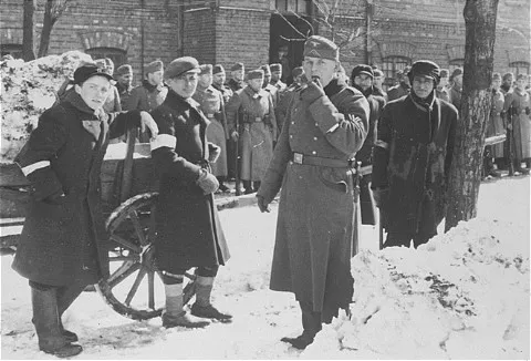 Częstochowa Ghetto Historic site, Częstochowa22 km SW
-
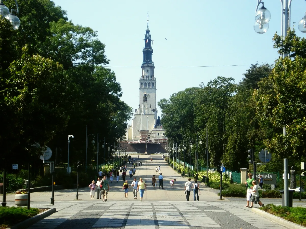 Jasna Góra Mountain, Częstochowa22 km SW
-
Zielona Góra Mountain, Olsztyn18 km SW
-
Radomsko Ghetto Historic site, Radomsko17 km N
Sources & licences
Data last updated: