- Population
- 1,668
- 1.7K
- Elevation
- 287 m
- above sea level
- Local time
- UTC+01:00
- Europe/Warsaw · UTC+01:00
- Airports
- KTW Katowice Wojciech Korfanty International Airport41 km
- KRK Kraków John Paul II International Airport102 km
About Kalej
Kalej is a village. Location: Gmina Wręczyca Wielka, Kłobuck County. Population: 1,668. Elevation: 287 m. The best months to visit are June–August. The nearest airport is Katowice Wojciech Korfanty International Airport (41 km). Nearby sights include Blechhammer Concentration Camp and Jasna Góra.
Photos of Kalej
-
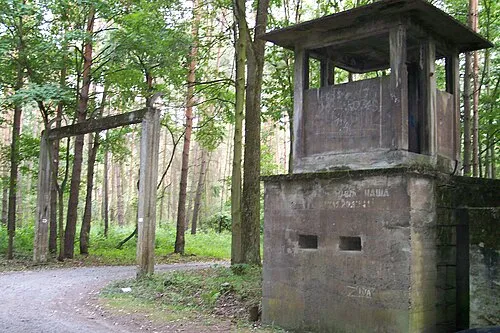
Blechhammer Concentration Camp Konrad Kurzacz Pimke · CC BY-SA 3.0

Climate of Kalej
Best months for sightseeingBest months for sightseeing: June–August.
This month · November
A cold month
Day 6° · Night 0° · Rain 38 mm
- Hottest month
- August (day 23°)
- Coldest month
- January (night -5°)
- Wettest month
- July (82 mm)
- Driest month
- February (26 mm)
Bars: average monthly low and high temperature. Below: precipitation. Monthly averages for 1970–2000 at about 18 km resolution, adjusted for elevation. Highlighted months are mild and relatively dry. Source: WorldClim 2.1 (CC BY 4.0).
Show values as a table
| Month | Jan | Feb | Mar | Apr | May | Jun | Jul | Aug | Sep | Oct | Nov | Dec |
|---|---|---|---|---|---|---|---|---|---|---|---|---|
| Average high (°C) | 1° | 2° | 6° | 12° | 18° | 21° | 22° | 23° | 17° | 12° | 6° | 2° |
| Average low (°C) | -5° | -4° | -1° | 3° | 8° | 11° | 13° | 12° | 9° | 5° | 0° | -3° |
| Precipitation (mm) | 32 | 26 | 31 | 39 | 64 | 76 | 82 | 70 | 55 | 42 | 38 | 39 |
How to get to Kalej
The nearest airport is Katowice Wojciech Korfanty International Airport (KTW), 41 km to the south as the crow flies. The nearest large city is Brno, 250 km to the southwest.
Airports
- Katowice Wojciech Korfanty International Airport (KTW) Katowice 41 kmsouth
- Kraków John Paul II International Airport (KRK) Balice 102 kmsoutheast
- Łódź Władysław Reymont Airport (LCJ) Łódź 103 kmnorth
Nearby large cities
- Brno Population: 404.3K 250 kmsouthwest
- Košice Population: 225K 287 kmsoutheast
- Bratislava Population: 423.7K 328 kmsouthwest
- Miskolc Population: 154.5K 331 kmsoutheast
- Prague Population: 1.2M 335 kmwest
Straight-line distances; road distances are longer. Airport data: OurAirports.
Day trips from Kalej
Within 100 km: 73 historic and cultural sites, 17 natural sites.
0–25 km5 places
- Zielona Góra Mountain 19 kmE
- Jasna Góra Mountain 8 kmE
- Blechhammer Concentration Camp Historic site 6 kmS
- Częstochowa Ghetto Historic site 10 kmSE
25–60 km19 places
- Góra Stodolska Mountain 58 kmSE
- Góra Chełmo Mountain 59 kmNE
- Berkowa Mountain 47 kmSE
- Bukowie Mountain 36 kmSE
60–100 km66 places
- Pasmo Małogoskie Mountain 83 kmE
- Góra Diabla Mountain 83 kmNE
- Pasmo Przedborskie Mountain 71 kmE
- Góra Kobyla Mountain 96 kmNW
Straight-line distances.
Nearby attractions & nature
Everything nearby-
Blechhammer Concentration Camp Historic site, Blachownia5.9 km S
-
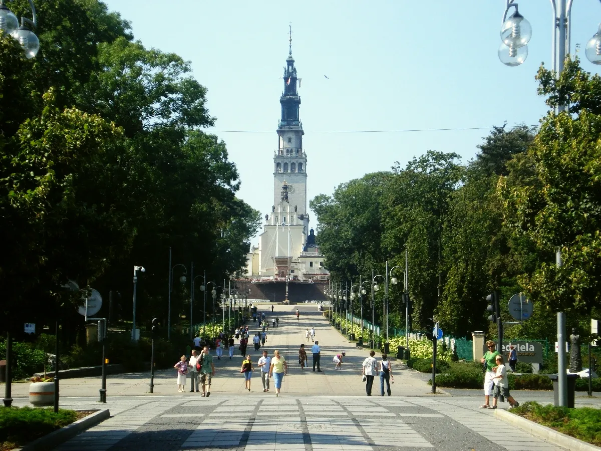 Jasna Góra Mountain, Częstochowa8.4 km E
-
Kłobucko Ghetto Historic site, Gmina Kłobuck7.9 km NW
-
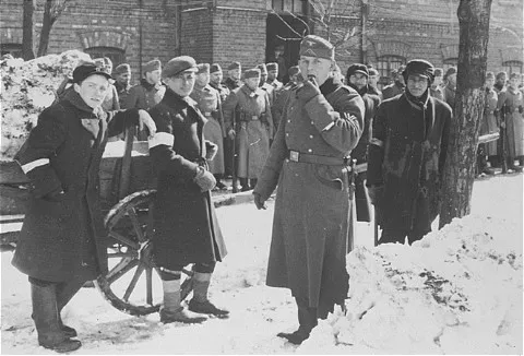 Częstochowa Ghetto Historic site, Częstochowa10 km SE
-
Zielona Góra Mountain, Olsztyn19 km E
Sources & licences
Data last updated: