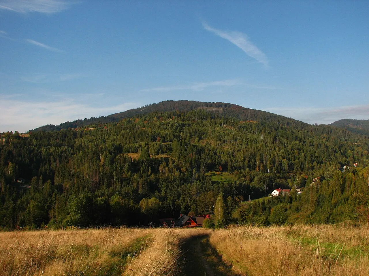
- Elevation
- 1,040 m
- above sea level
- Local time
- UTC+01:00
- Europe/Warsaw · UTC+01:00
- Airports
- KRK Kraków John Paul II International Airport77 km
- OSR Leoš Janáček Airport Ostrava77 km
About Sucha
Sucha is a mountain. Location: Rajcza, Żywiec County. Elevation: 1,040 m. The best months to visit are July–August. The nearest airport is Kraków John Paul II International Airport (77 km). Nearby sights include Prusów and Zabawa.
Photos of Sucha
-

Downar · CC BY-SA 4.0 -

Adrian Tync · CC BY-SA 4.0 -

Jerzy Opioła · CC BY-SA 3.0 -

Gower · Public domain -

Jerzy Opioła · CC BY-SA 3.0


Climate of Sucha
Best months for sightseeingBest months for sightseeing: July–August.
This month · November
A cold month
Day 3° · Night -4° · Rain 71 mm
- Hottest month
- July (day 19°)
- Coldest month
- January (night -10°)
- Wettest month
- July (128 mm)
- Driest month
- February (58 mm)
Bars: average monthly low and high temperature. Below: precipitation. Monthly averages for 1970–2000 at about 18 km resolution, adjusted for elevation. Highlighted months are mild and relatively dry. Source: WorldClim 2.1 (CC BY 4.0).
Show values as a table
| Month | Jan | Feb | Mar | Apr | May | Jun | Jul | Aug | Sep | Oct | Nov | Dec |
|---|---|---|---|---|---|---|---|---|---|---|---|---|
| Average high (°C) | -2° | -1° | 3° | 8° | 14° | 17° | 19° | 19° | 14° | 9° | 3° | -1° |
| Average low (°C) | -10° | -9° | -6° | -2° | 3° | 6° | 7° | 7° | 4° | 0° | -4° | -8° |
| Precipitation (mm) | 64 | 58 | 60 | 68 | 101 | 126 | 128 | 115 | 87 | 67 | 71 | 73 |
How to get to Sucha
The nearest airport is Kraków John Paul II International Airport (KRK), 77 km to the northeast as the crow flies. The nearest large city is Košice, 179 km to the southeast.
Airports
- Kraków John Paul II International Airport (KRK) Balice 77 kmnortheast
- Leoš Janáček Airport Ostrava (OSR) Mošnov 77 kmwest
- Poprad-Tatry Airport (TAT) Poprad 95 kmsoutheast
Nearby large cities
- Košice Population: 225K 179 kmsoutheast
- Brno Population: 404.3K 188 kmwest
- Miskolc Population: 154.5K 199 kmsoutheast
- Bratislava Population: 423.7K 214 kmsouthwest
- Győr Population: 129.3K 233 kmsouthwest
Straight-line distances; road distances are longer. Airport data: OurAirports.
Day trips from Sucha
Within 100 km: 58 historic and cultural sites, 393 natural sites, 12 lakes, rivers and coasts.
0–25 km51 places
- Gírová Mountain 25 kmW
- Bugaj Mountain 17 kmSW
- Beskid Żywiecki Mountain 10 kmSW
- Beskid Śląski Mountain 10 kmW
25–60 km166 places
- Korňa River 40 kmW
- Veľký Kriváň Mountain 39 kmS
- Chleb Mountain 38 kmS
- Baníkov Mountain 55 kmSE
60–100 km246 places
- Skalnaté pleso Lake 88 kmSE
- Popradské Pleso Lake 80 kmSE
- Ostrá Mountain 76 kmSE
- Vysoká Mountain 80 kmSE
Straight-line distances.
Nearest towns and villages
-
Rajcza Village, Rajcza2.9 km SW
-
Milówka Village, Milówka4.9 km NW
-
Milówka Municipality, Żywiec County5.1 km NW
-
Gmina Ujsoły Municipality, Żywiec County4.8 km S
-
Węgierska Górka Municipality, Żywiec County5.7 km N
-
Ujsoły Village, Gmina Ujsoły4.9 km S
Nearby attractions & nature
Everything nearby-
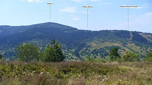 Prusów Mountain, Milówka3.6 km N
-
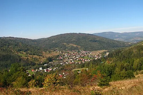 Zabawa Mountain, Milówka4.4 km W
-
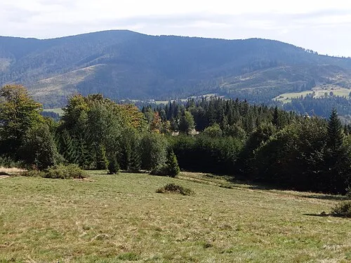 Boraczy Wierch Mountain, Węgierska Górka4.1 km E
-
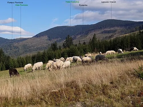 Lipowska Mountain, Węgierska Górka5.6 km E
-
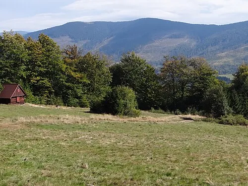 Rysianka Mountain, Węgierska Górka6.3 km E
-
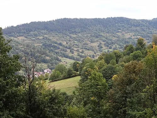 Abrahamów Mountain, Węgierska Górka6.1 km NE
-
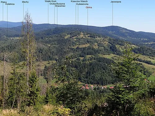 Kubiesowka Mountain, Gmina Ujsoły6.5 km S
-
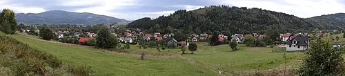 Grapa Mountain, Węgierska Górka6.9 km N
More nature in Poland
-
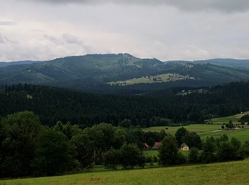 Rachowiec Mountain, Rajcza10 km W
-
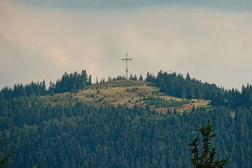 Będoszka Wielka Mountain, Rajcza13 km SW
-
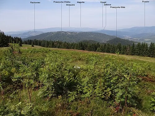 Praszywka Mountain, Rajcza12 km SW
-
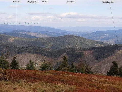 Jaworzyna Mountain, Rajcza13 km SW
Sources & licences
Data last updated: · 2 independent sources