Loulé Municipality
Located in Faro District, Portugal Coordinates: 37°08′38″ N 8°01′24″ W
- Population
- 70,622
- 70.6K
- Elevation
- 191 m
- above sea level
- Local time
- UTC+00:00
- Europe/Lisbon · UTC+00:00
- Places inside
- 11
- listed under Loulé Municipality
About Loulé Municipality
Loulé Municipality is a district. Location: Faro District, Portugal. Population: 70,622.
In comparison
- 2 sights and natural places within 10 km Castelo de Loulé, Estádio Algarve
- Listed here: Municipality: 11
Places in Loulé Municipality
11 places-
Quarteira Municipality24.4K
-
Loulé (São Clemente) Municipality17.9K
-
Almancil Municipality11.3K
-
Loulé (São Sebastião) Municipality6.8K
-
Boliqueime Municipality4.8K
-
Salir Municipality2.4K
-
Alte Municipality1.7K
-
Benafim Municipality1.1K
-
Tôr Municipality885
-
Querença Municipality759
-
Ameixial Municipality381
Nature and heritage in Loulé Municipality
-
Estádio Algarve Landmark, Almancil
-
Cerro do Brusco Mountain, Alte
-
Roman ruins of Cerro da Vila Historic site, Quarteira
-
Castelo de Loulé Historic site, Loulé (São Sebastião)
-
Cerro da Vegueira Mountain, Salir
Nearby attractions & nature
Everything nearby-
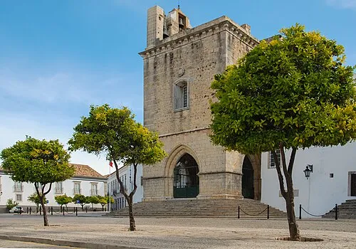 Cathedral of Faro Attraction, União das freguesias de Faro (Sé e São Pedro)16 km SE
-
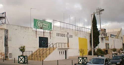 Estádio de São Luís Landmark, União das freguesias de Faro (Sé e São Pedro)16 km SE
-
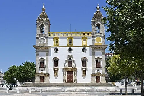 Igreja do Carmo Attraction, União das freguesias de Faro (Sé e São Pedro)16 km SE
-
Serro de Monte Figo Mountain, Faro District16 km E
-
Estádio José Arcanjo Landmark, Olhão20 km SE
-
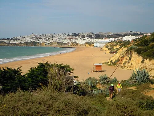 Praia dos Alemães Beach, Faro District20 km W
Sources & licences
Data last updated: