Fuseta
Located in Olhão Municipality, Faro District Coordinates: 37°02′56″ N 7°44′46″ W
- Population
- 1,918
- 1.9K
- Elevation
- 1 m
- above sea level
- Local time
- UTC+00:00
- Europe/Lisbon · UTC+00:00
- Places inside
- 1
- listed under Fuseta
About Fuseta
Fuseta is a municipality. Location: Olhão Municipality, Faro District. Population: 1,918. Elevation: 1 m.
In comparison
- No. 5 of 5 places in Olhão Municipality by population
- Nearest larger town: Fuzeta, 1 km N
Places in Fuseta
1 place-
Fuzeta Town9.3K
Nearby attractions & nature
Everything nearby-
Estádio José Arcanjo Landmark, Olhão9.4 km W
-
Serro de Monte Figo Mountain, Faro District11 km NW
-
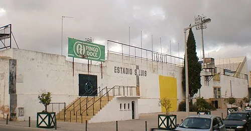 Estádio de São Luís Landmark, União das freguesias de Faro (Sé e São Pedro)16 km W
-
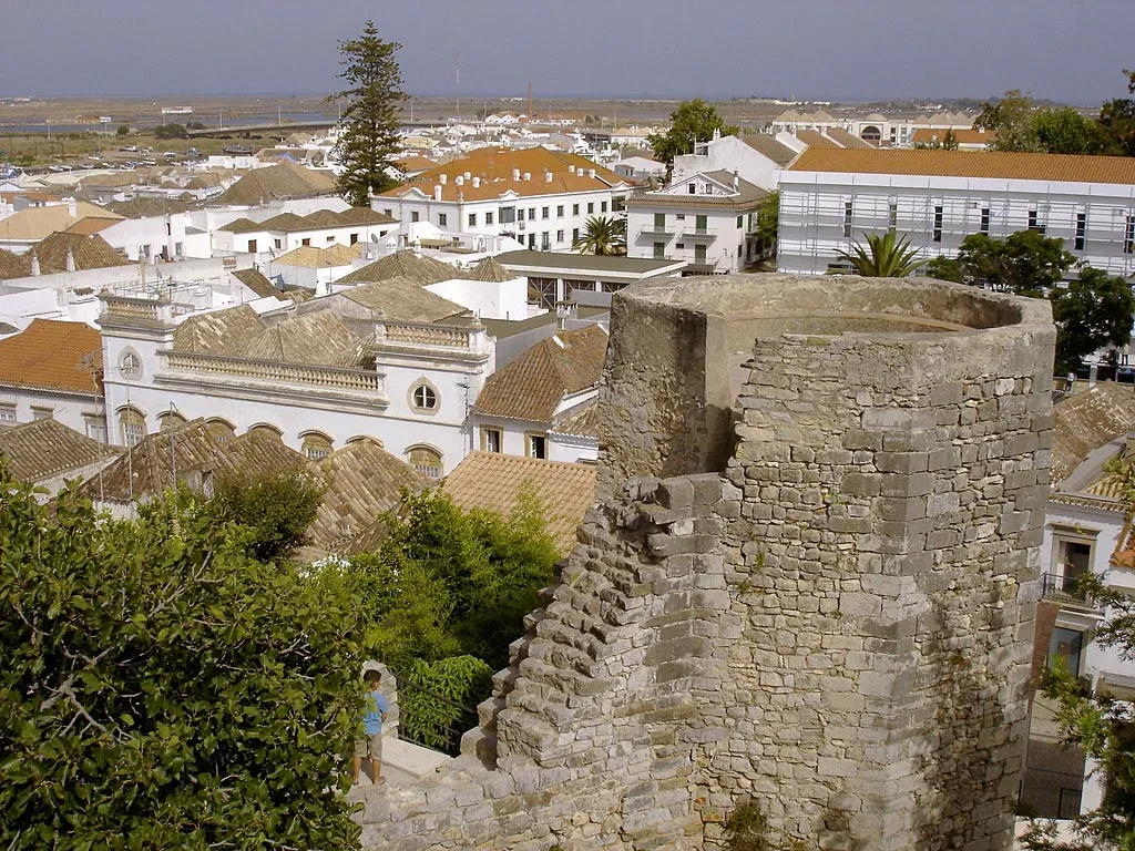 Tavira Castle Historic site, União das freguesias de Tavira (Santa Maria e Santiago)12 km NE
-
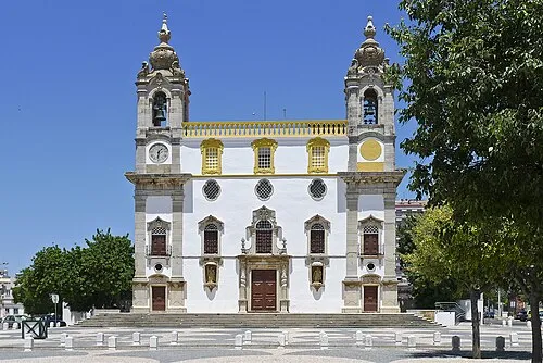 Igreja do Carmo Attraction, União das freguesias de Faro (Sé e São Pedro)17 km W
-
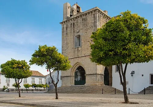 Cathedral of Faro Attraction, União das freguesias de Faro (Sé e São Pedro)17 km W
-
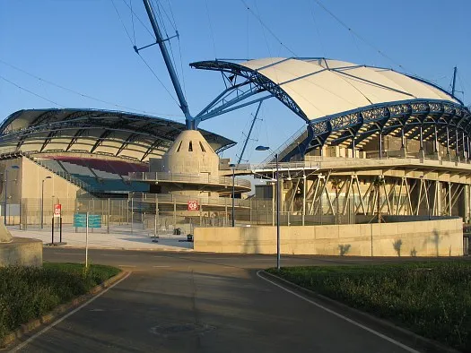 Estádio Algarve Landmark, Almancil21 km W
Sources & licences
Data last updated: