- Elevation
- 1,078 m
- above sea level
- Local time
- UTC+00:00
- Europe/Lisbon · UTC+00:00
- Airports
- VSE Aerodromo Goncalves Lobato (Viseu Airport)33 km
- VRL Vila Real Airport36 km
About Serra da Gralheira
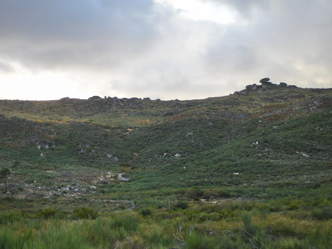
Serra da Gralheira is a mountain. Location: Viseu District, Portugal. Elevation: 1,078 m. The best months to visit are July–August. The nearest airport is Aerodromo Goncalves Lobato (Viseu Airport) (33 km). Nearby sights include Alto da Teixosa and Cabeço de Coelho.
Climate of Serra da Gralheira
Best months for sightseeingBest months for sightseeing: July–August.
This month · November
A wet month
Day 10° · Night 3° · Rain 167 mm
- Hottest month
- August (day 23°)
- Coldest month
- January (night 0°)
- Wettest month
- January (197 mm)
- Driest month
- July (18 mm)
Bars: average monthly low and high temperature. Below: precipitation. Monthly averages for 1970–2000 at about 18 km resolution, adjusted for elevation. Highlighted months are mild and relatively dry. Source: WorldClim 2.1 (CC BY 4.0).
Show values as a table
| Month | Jan | Feb | Mar | Apr | May | Jun | Jul | Aug | Sep | Oct | Nov | Dec |
|---|---|---|---|---|---|---|---|---|---|---|---|---|
| Average high (°C) | 7° | 8° | 11° | 12° | 15° | 19° | 22° | 23° | 20° | 15° | 10° | 7° |
| Average low (°C) | 0° | 1° | 2° | 3° | 6° | 9° | 11° | 11° | 10° | 7° | 3° | 1° |
| Precipitation (mm) | 197 | 183 | 116 | 120 | 98 | 60 | 18 | 19 | 63 | 135 | 167 | 194 |
How to get to Serra da Gralheira
The nearest airport is Aerodromo Goncalves Lobato (Viseu Airport) (VSE), 33 km to the south as the crow flies. For international flights: Francisco de Sá Carneiro Airport (OPO) (64 km). The nearest large city is Porto, 55 km to the west.
Airports
- Aerodromo Goncalves Lobato (Viseu Airport) (VSE) Viseu 33 kmsouth
- Vila Real Airport (VRL) Vila Real 36 kmnortheast
- Francisco de Sá Carneiro Airport (OPO) Porto 64 kmnorthwest
Nearby large cities
- Porto Population: 252.7K 55 kmwest
- Braga Population: 193.3K 70 kmnorthwest
- Ourense Population: 105.2K 147 kmnorth
- Vigo Population: 293.6K 148 kmnorthwest
- Salamanca Population: 144.8K 195 kmeast
Straight-line distances; road distances are longer. Airport data: OurAirports.
Nearest towns and villages
-
União das freguesias de Alhões, Bustelo, Gralheira e Ramires Municipality, Cinfães Municipality1.9 km SW
-
União das freguesias de Ovadas e Panchorra Municipality, Resende Municipality2.6 km NE
-
Ferreiros de Tendais Municipality, Cinfães Municipality5.2 km NW
-
São Cipriano Municipality, Resende Municipality5.4 km N
-
Tendais Municipality, Cinfães Municipality5.7 km W
-
Gosende Municipality, Castro Daire Municipality5.5 km E
Nearby attractions & nature
Everything nearby-
Alto da Teixosa Mountain, União das freguesias de Alhões, Bustelo, Gralheira e Ramires2.3 km SW
-
Cabeço de Coelho Mountain, Cabril6.7 km SW
-
Serra de Bigorne Mountain, Viseu District7.2 km SE
-
Serra de São Pedro Mountain, Viseu District8.6 km W
-
Alto de Vila Lobos Mountain, União das freguesias de Bigorne, Magueija e Pretarouca9.2 km NE
-
Serra da Ameixiosa Mountain, Viseu District14 km SW
-
Serra do Poio Mountain, São Martinho de Mouros13 km NE
-
Serra de Sequeiros Mountain, Viseu District15 km SW
More nature in Portugal
-
Serra de Santa Helena Mountain, Viseu District15 km E
-
Serra de São Macário Mountain, Viseu District19 km SW
-
Serra da Cascalheira Mountain, Viseu District17 km SE
-
 Serra de Leomil Mountain, Viseu District27 km E
-
Serra da Gravia Mountain, Valadares31 km SW
-
Serra do Reboledo Mountain, Penela da Beira45 km E
Sources & licences
Data last updated: · 2 independent sources