Antalya Province
Local name: Antalya ili
Located in Turkey Coordinates: 36°46′11″ N 31°54′08″ E
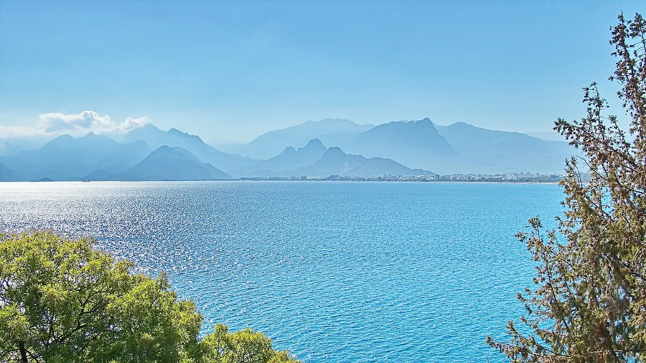
- Population
- 2,688,004
- 2.7M
- Elevation
- 688 m
- above sea level
- Local time
- UTC+03:00
- Europe/Istanbul · UTC+03:00
- Places inside
- 502
- listed under Antalya Province
- Airports
- GZP Gazipaşa-Alanya Airport63 km
- AYT Antalya International Airport99 km
About Antalya Province
Antalya Province is a region. Location: Turkey. Population: 2,688,004.
Antalya is one of the largest cities in Turkey and the capital of Antalya Province, the fifth-most populous province. Recognized as the "capital of tourism" in Turkey and a pivotal part of the Turkish Riviera, Antalya sits on Anatolia's southwest coast, flanked by the Taurus Mountains. The urban population of the city is around 1.5 million, with a provincial population of 2,722,103. The city was formerly known as Attaleia, founded around 200 BC by King Attalus II of Pergamon.
Source: Wikipedia · CC BY-SA 4.0
Photos of Antalya Province
-

Mdemirci2507 · CC BY-SA 4.0 -

Roman_Zacharij · CC BY-SA 4.0 -

Alexander van Loon · CC BY-SA 2.0 -

Nur Çağlar · CC BY-SA 4.0 -

Nur Çağlar · CC BY-SA 4.0


Twin towns and sister cities of Antalya Province
- Austin· United States
- Split· Croatia
Source: Wikidata. Only places with a page on this site are shown.
Population of Antalya Province over time
| 1985 | 258,139 | |
|---|---|---|
| 1990 | 378,208 | |
| 2000 | 603,190 | |
| 2010 | 1,001,318 | |
| 2012 | 1,073,794 | |
| 2018 | 2,426,356 |
Censuses and official estimates; source: Wikidata.
Climate of Antalya Province
Best months for sightseeingBest months for sightseeing: May–June, September–October.
This month · November
A wet month
Day 16° · Night 7° · Rain 106 mm
Better nearby cities in November
- Alanya · 27 km south21°
- Silifke · 187 km east21°
- Mersin · 244 km east22°
- Hottest month
- August (day 30°)
- Coldest month
- January (night 2°)
- Wettest month
- December (162 mm)
- Driest month
- July (8 mm)
Bars: average monthly low and high temperature. Below: precipitation. Monthly averages for 1970–2000 at about 18 km resolution, adjusted for elevation. Highlighted months are mild and relatively dry. Source: WorldClim 2.1 (CC BY 4.0).
Show values as a table
| Month | Jan | Feb | Mar | Apr | May | Jun | Jul | Aug | Sep | Oct | Nov | Dec |
|---|---|---|---|---|---|---|---|---|---|---|---|---|
| Average high (°C) | 10° | 11° | 14° | 18° | 22° | 27° | 30° | 30° | 27° | 22° | 16° | 12° |
| Average low (°C) | 2° | 2° | 4° | 8° | 12° | 15° | 18° | 18° | 15° | 11° | 7° | 4° |
| Precipitation (mm) | 158 | 116 | 81 | 55 | 39 | 18 | 8 | 9 | 15 | 68 | 106 | 162 |
Other places to visit in this season: May June September October
How to get to Antalya Province
The nearest airport is Gazipaşa-Alanya Airport (GZP), 63 km to the southeast as the crow flies. For international flights: Antalya International Airport (AYT) (99 km). The nearest large city is Alanya, 27 km to the south.
Airports
- Gazipaşa-Alanya Airport (GZP) Gazipaşa 63 kmsoutheast
- Antalya International Airport (AYT) Antalya 99 kmwest
- Konya Airport (KYA) Konya 146 kmnortheast
Nearby large cities
- Alanya Population: 364.2K 27 kmsouth
- Muratpaşa Population: 450K 102 kmwest
- Antalya Population: 1.3M 109 kmwest
- Karaman Population: 175.4K 125 kmeast
- Konya Population: 1.4M 133 kmnortheast
Straight-line distances; road distances are longer. Airport data: OurAirports.
Places in Antalya Province
502 places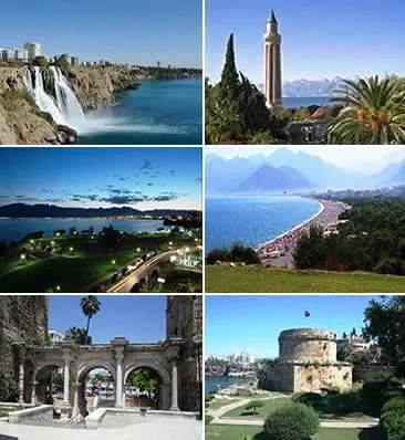
Antalya
Population: 1.3M
Muratpaşa İlçesi
Population: 453.3K
Kepez İlçesi
Population: 450.7K
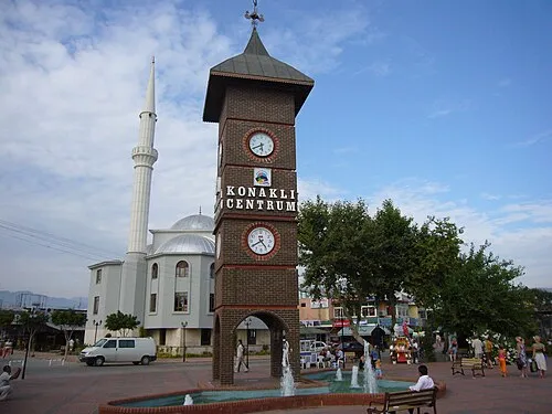
Alanya
Population: 364.2K
Manavgat İlçesi
Population: 252.9K
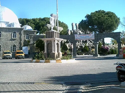
Serik
Population: 139.5K
- 7 Konyaaltı 137.7K
- 8 Kumluca 73.5K
- 9 Aksu 67.5K
- 10 Kaş İlçesi 55.1K
- 11 Döşemealtı İlçesi 52K
- 12 Korkuteli İlçesi 51.9K
- 13 Finike 49.7K
- 14 Kemer İlçesi 49.4K
- 15 Gazipaşa İlçesi 48.1K
- 16 Elmalı İlçesi 38.6K
- 17 Demre İlçesi 25.7K
- 18 Akseki İlçesi 13.1K
- 19 Gündoğmuş İlçesi 8.2K
- 20 İbradı İlçesi 2.9K
- 21 Yeşiloba 132
Bar: population relative to the most populous place in this list.
Cities & villages6
- Akçay Bucağı · Municipality
- Akpınar Yaylası · Village
- Akseki Bucağı · Municipality
- Aksu Bucağı · Municipality
- Alanya Bucağı · Municipality
- Altınyaka Bucağı · Municipality
Mountains & nature11
- Acısu Pınarı · Natural site
- Ağlısu Pınarı · Natural site
- Akçal Tepesi · Mountain
- Akça Pınar · Natural site
- Akdağ · Mountain
- Akdağ · Mountain
- Ak Dağlar · Mountain
- Ak Liman · Natural site
- Akoluk Tepesi · Mountain
- Alıçlı Pınar · Natural site
- Aşağıdünya Boğazı · Natural site
Lakes, rivers & coasts22
- Acısu Deresi · River
- Acısu Deresi · River
- Adanda Çayı · River
- Ağva Deresi · River
- Ağzıkara Deresi · River
- Akçay · River
- Akçay · River
- Akçay Deresi · River
- Akçay Deresi · River
- Akdere · River
- Akpınar Deresi · River
- Aksu Çayı · River
- Aksu Deresi · River
- Alakır Çayı · River
- Alara Çayı · River
- Alara Çayı · River
- Ambar Deresi · River
- Anbarcık Deresi · River
- Apardiı Deresi · River
- Arıluz Deresi · River
- Arkıçça Deresi · River
- Asarkoyağı Deresi · River
Largest cities and towns
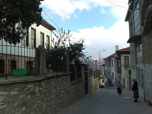
Nature and heritage in Antalya Province
Sources & licences
Data last updated: · 2 independent sources