- Population
- 252
- 252
- Elevation
- 64 m
- above sea level
- Local time
- UTC+03:00
- Europe/Istanbul · UTC+03:00
- Airports
- YEI Bursa Yenişehir Airport69 km
- SAW Istanbul Sabiha Gökçen International Airport90 km
About Başköy
Başköy is a village. Location: Nilüfer, Bursa Province. Population: 252. Elevation: 64 m. The best months to visit are May, September–October. The nearest airport is Bursa Yenişehir Airport (69 km). Nearby sights include Üçpınar Deresi and Hasanağa Deresi.
Climate of Başköy
Best months for sightseeingBest months for sightseeing: May, September–October.
This month · November
Outside the best season
Day 16° · Night 6° · Rain 76 mm
Better nearby cities in November
- Aydin · 275 km south19°
- Hottest month
- July (day 30°)
- Coldest month
- January (night 2°)
- Wettest month
- December (95 mm)
- Driest month
- July (17 mm)
Bars: average monthly low and high temperature. Below: precipitation. Monthly averages for 1970–2000 at about 18 km resolution, adjusted for elevation. Highlighted months are mild and relatively dry. Source: WorldClim 2.1 (CC BY 4.0).
Show values as a table
| Month | Jan | Feb | Mar | Apr | May | Jun | Jul | Aug | Sep | Oct | Nov | Dec |
|---|---|---|---|---|---|---|---|---|---|---|---|---|
| Average high (°C) | 9° | 10° | 13° | 18° | 23° | 28° | 30° | 30° | 27° | 21° | 16° | 11° |
| Average low (°C) | 2° | 2° | 4° | 7° | 11° | 15° | 17° | 17° | 14° | 10° | 6° | 4° |
| Precipitation (mm) | 86 | 64 | 59 | 51 | 38 | 27 | 17 | 17 | 33 | 55 | 76 | 95 |
How to get to Başköy
The nearest airport is Bursa Yenişehir Airport (YEI), 69 km to the east as the crow flies. For international flights: Istanbul Sabiha Gökçen International Airport (SAW) (90 km). The nearest large city is Nilufer, 14 km to the east.
Airports
- Bursa Yenişehir Airport (YEI) Yenişehir 69 kmeast
- Istanbul Sabiha Gökçen International Airport (SAW) Pendik, Istanbul 90 kmnortheast
- Balıkesir Airport (BZI) Balıkesir 97 kmsouthwest
Nearby large cities
- Nilufer Population: 536.4K 14 kmeast
- Bursa Population: 3.1M 26 kmeast
- Mustafakemalpaşa Population: 101.4K 35 kmsouthwest
- İnegöl Population: 134K 66 kmeast
- Bandırma Population: 107.6K 68 kmwest
Straight-line distances; road distances are longer. Airport data: OurAirports.
Day trips from Başköy
Within 100 km: 140 historic and cultural sites, 147 natural sites, 260 lakes, rivers and coasts.
0–25 km38 places
- Mutlu Adası Island 11 kmSW
- Halilbey Adası Island 15 kmW
- Terzioğlu Adası Island 9 kmSW
- Lake Uluabat Lake 14 kmSW
25–60 km136 places
- Yeniköy Plaj Beach 38 kmNW
- İmralı Adası Island 41 kmNW
- Karapürcek Göleti Lake 52 kmSW
- Gölbaşı Göleti Lake 49 kmE
60–100 km373 places
- Sedef Adası Island 62 kmNW
- Tavşan Adası Island 84 kmW
- Andirovitha Island Island 78 kmNE
- Pita Island Island 80 kmN
Straight-line distances.
Nearby attractions & nature
Everything nearby-
Üçpınar Deresi River, Bursa Province6.6 km N
-
Hasanağa Deresi River, Bursa Province6.8 km NE
-
Sarıgazel Deresi River, Bursa Province8 km N
-
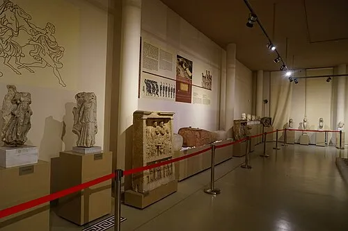 Bursa Archaeological Museum Museum, Osmangazi District25 km E
-
Terzioğlu Adası Island, Bursa Province9.3 km SW
-
Kovalık Deresi River, Bursa Province9.6 km NW
Sources & licences
Data last updated: