Karaman Province
Local name: Karaman ili
Located in Turkey Coordinates: 37°05′00″ N 33°15′00″ E
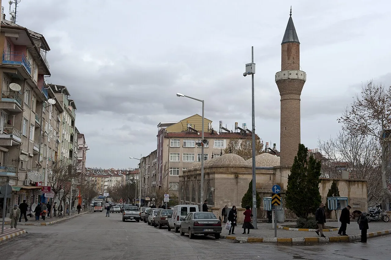
- Population
- 260,838
- 260.8K
- Elevation
- 1,265 m
- above sea level
- Local time
- UTC+03:00
- Europe/Istanbul · UTC+03:00
- Places inside
- 235
- listed under Karaman Province
- Airports
- KYA Konya Airport117 km
- GZP Gazipaşa-Alanya Airport122 km
About Karaman Province
Karaman Province is a region. Location: Turkey. Population: 260,838.
Karaman Province (Turkish: Karaman ili) is a province of south-central Turkey. Its area is 8,678 km2, and its population is 260,838 (2022). According to the 2000 census, the population was 243,210. The population density is 30 people/km2. The traffic code is 70. The capital is the city of Karaman. Karaman was the location of the Karamanid Beylik, which came to an end in 1486.
Source: Wikipedia · CC BY-SA 4.0
Places bordering Karaman Province
- Konya Province
- Antalya Province
- Mersin Province
Climate of Karaman Province
Best months for sightseeingBest months for sightseeing: May–June, September–October.
This month · November
Outside the best season
Day 12° · Night 1° · Rain 44 mm
Better nearby cities in November
- Silifke · 99 km southeast21°
- Alanya · 126 km southwest21°
- Mersin · 127 km east22°
- Hottest month
- July (day 30°)
- Coldest month
- January (night -4°)
- Wettest month
- January (68 mm)
- Driest month
- August (5 mm)
Bars: average monthly low and high temperature. Below: precipitation. Monthly averages for 1970–2000 at about 18 km resolution, adjusted for elevation. Highlighted months are mild and relatively dry. Source: WorldClim 2.1 (CC BY 4.0).
Show values as a table
| Month | Jan | Feb | Mar | Apr | May | Jun | Jul | Aug | Sep | Oct | Nov | Dec |
|---|---|---|---|---|---|---|---|---|---|---|---|---|
| Average high (°C) | 4° | 6° | 10° | 16° | 21° | 26° | 30° | 29° | 26° | 19° | 12° | 6° |
| Average low (°C) | -4° | -3° | -1° | 4° | 7° | 11° | 14° | 13° | 9° | 5° | 1° | -2° |
| Precipitation (mm) | 68 | 55 | 54 | 45 | 41 | 21 | 6 | 5 | 9 | 36 | 44 | 66 |
Other places to visit in this season: May June September October
How to get to Karaman Province
The nearest airport is Konya Airport (KYA), 117 km to the northwest as the crow flies. The nearest large city is Karaman, 11 km to the north.
Airports
- Konya Airport (KYA) Konya 117 kmnorthwest
- Gazipaşa-Alanya Airport (GZP) Gazipaşa 122 kmsouthwest
- Çukurova International Airport (COV) Tarsus 164 kmeast
Nearby large cities
- Karaman Population: 175.4K 11 kmnorth
- Heraclea Population: 156.3K 85 kmnortheast
- Silifke Population: 132.7K 99 kmsoutheast
- Konya Population: 1.4M 111 kmnorthwest
- Alanya Population: 364.2K 127 kmsouthwest
Straight-line distances; road distances are longer. Airport data: OurAirports.
Places in Karaman Province
235 places- 1 Ermenek İlçesi 30.1K
- 2 Sarıveliler İlçesi 12.9K
- 3 Ayrancı İlçesi 8.9K
- 4 Kazımkarabekir İlçesi 4.3K
- 5 Başyayla İlçesi 4.1K
Bar: population relative to the most populous place in this list.
Cities & villages3
- Ayrancı Bucağı · Municipality
- Başyayla Bucağı · Municipality
- Bucakkışla Bucağı · Municipality
Mountains & nature34
- Abbasoluk Pınarı · Natural site
- Acıelma Çeşmesi · Natural site
- Akarca Pınarı · Natural site
- Akpınar · Natural site
- Akpınar · Natural site
- Akpınar · Natural site
- Akpınar · Natural site
- Alabez Pınarı · Natural site
- Alaçça Pınarı · Natural site
- Alıçlı Tepe · Mountain
- Almaderesi Pınarı · Natural site
- Anamurlu Tepe · Mountain
- Arpakurusu Dağı · Mountain
- Atatürk Ormanı · Natural site
- Avdan Tepesi · Mountain
- Ayaşburnu Tepesi · Mountain
- Ayaşdağı Tepesi · Mountain
- Ayhatun Pınarı · Natural site
- Ayıoluğu Pınarı · Natural site
- Ayıoluğu Pınarı · Natural site
- Ayıoluğu Pınarı · Natural site
- Ayı Pınarı · Natural site
- Ayı Pınarı · Natural site
- Ay Pınarı · Natural site
- Ayvasıl Pınarı · Natural site
- Bayçayırı Pınarı · Natural site
- Bel Tepesi · Mountain
- Bolkardede Tepe · Mountain
- Boz Dağ · Mountain
- Çam Pınarı · Natural site
- Çatalharman Tepe · Mountain
- Çelebi Pınarı · Natural site
- Çetince Pınarı · Natural site
- Çetince Pınarı · Natural site
Lakes, rivers & coasts18
- Acı Göl · Lake
- Ada Deresi · River
- Alagöz Deresi · River
- Aldere · River
- Alpinik Deresi · River
- Andihari Deresi · River
- Armutlu Dere · River
- Bağbelen Deresi · River
- Bağ Deresi · River
- Bağırsak Dere · River
- Balık Deresi · River
- Ballık Deresi · River
- Bayırkısığı Deresi · River
- Bezciler Deresi · River
- Boğazini Deresi · River
- Çalış Dere · River
- Çapar Dere · River
- Çardaklar Dere · River
Largest cities and towns
-
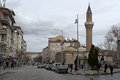 Karaman City, Karaman175.4K
-
Ermenek City, Ermenek İlçesi17K
-
Dumlugöze Village, Sarıveliler İlçesi1.8K
-
 Yollarbaşı Village, Karaman1.2K
-
Ardıçkaya Village, Ermenek İlçesi955
-
Gökçekent Village, Ermenek İlçesi839
-
Sarıveliler City, Sarıveliler İlçesi7.5K
-
Kılbasan Village, Karaman1.6K
Nature and heritage in Karaman Province
Other regions in Turkey
-
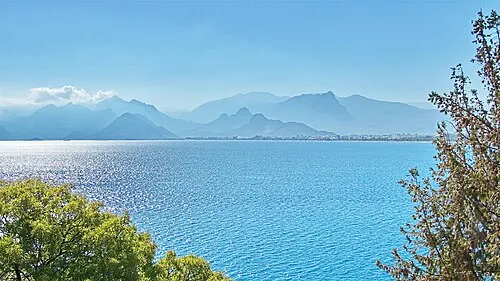 Antalya Province Region, Turkey125 km W
-
Karaman District, Karaman Province10 km N
-
Mut District, Mersin Province42 km S
-
Karatay District, Konya Province98 km N
-
Selcuklu District, Konya Province125 km NW
-
Karapınar İlçesi District, Konya Province76 km N
Sources & licences
Data last updated: · 2 independent sources