- Elevation
- 1,054 m
- above sea level
- Local time
- UTC+03:00
- Europe/Istanbul · UTC+03:00
- Places inside
- 138
- listed under Karaman
- Airports
- KYA Konya Airport107 km
- GZP Gazipaşa-Alanya Airport128 km
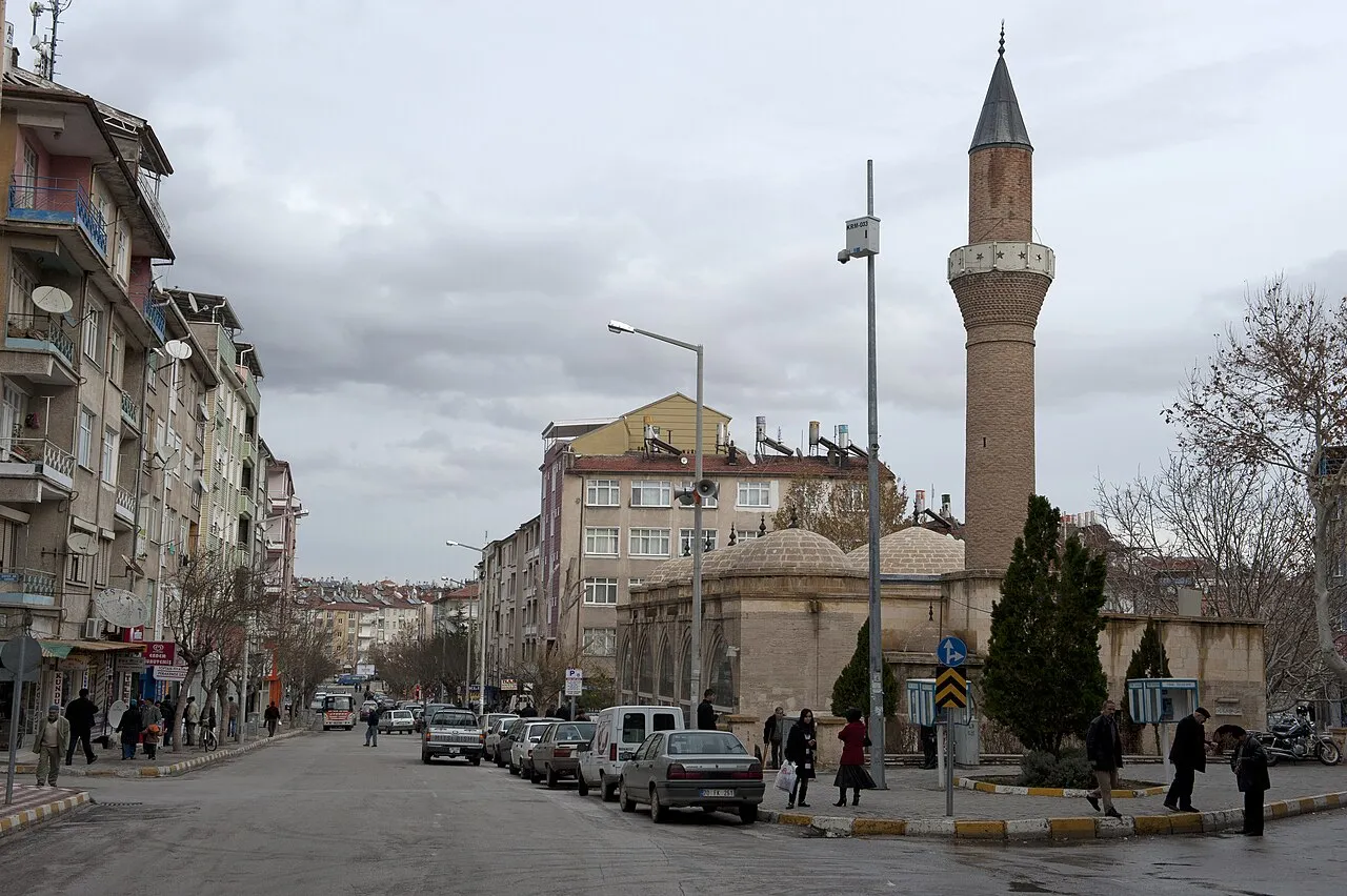
About Karaman
Karaman is a district. Location: Karaman Province, Turkey. The best months to visit are May–June, September–October. The nearest airport is Konya Airport (107 km). Nearby sights include Karaköprü Deresi and Deli Çay.
Climate of Karaman
Best months for sightseeingBest months for sightseeing: May–June, September–October.
This month · November
Outside the best season
Day 14° · Night 1° · Rain 40 mm
Better nearby cities in November
- Silifke · 109 km southeast21°
- Alanya · 129 km southwest21°
- Mersin · 132 km east22°
- Hottest month
- July (day 31°)
- Coldest month
- January (night -4°)
- Wettest month
- January (59 mm)
- Driest month
- August (4 mm)
Bars: average monthly low and high temperature. Below: precipitation. Monthly averages for 1970–2000 at about 18 km resolution, adjusted for elevation. Highlighted months are mild and relatively dry. Source: WorldClim 2.1 (CC BY 4.0).
Show values as a table
| Month | Jan | Feb | Mar | Apr | May | Jun | Jul | Aug | Sep | Oct | Nov | Dec |
|---|---|---|---|---|---|---|---|---|---|---|---|---|
| Average high (°C) | 5° | 8° | 12° | 18° | 23° | 27° | 31° | 30° | 27° | 20° | 14° | 7° |
| Average low (°C) | -4° | -3° | 0° | 4° | 8° | 12° | 14° | 13° | 9° | 5° | 1° | -2° |
| Precipitation (mm) | 59 | 49 | 49 | 44 | 40 | 19 | 5 | 4 | 9 | 32 | 40 | 55 |
Other places to visit in this season: May June September October
How to get to Karaman
The nearest airport is Konya Airport (KYA), 107 km to the northwest as the crow flies. The nearest large city is Karaman, 1 km to the northwest.
Airports
- Konya Airport (KYA) Konya 107 kmnorthwest
- Gazipaşa-Alanya Airport (GZP) Gazipaşa 128 kmsouthwest
- Çukurova International Airport (COV) Tarsus 167 kmeast
Nearby large cities
- Karaman Population: 175.4K 1 kmnorthwest
- Heraclea Population: 156.3K 82 kmnortheast
- Konya Population: 1.4M 101 kmnorthwest
- Silifke Population: 132.7K 109 kmsoutheast
- Alanya Population: 364.2K 130 kmsouthwest
Straight-line distances; road distances are longer. Airport data: OurAirports.
Day trips from Karaman
Within 100 km: 15 historic and cultural sites, 1,097 natural sites, 214 lakes, rivers and coasts.
0–25 km28 places
- Yelattı Dağı Mountain 21 kmS
- Buzlu Dağ Mountain 23 kmW
- Aktepe Mountain 21 kmW
- Kemer Dağı Mountain 24 kmSW
25–60 km268 places
- Acı Göl Lake 36 kmN
- Hotamış Gölü Lake 41 kmN
- Taurus Mountains Mountain 31 kmSW
- Tilkilik Tepesi Mountain 43 kmSE
60–100 km1,030 places
- Akyay Gölü Lake 100 kmNW
- Meyil Gölü Lake 91 kmN
- Lake Meke Lake 68 kmNE
- Ermenek Baraj Gölü Lake 73 kmSW
Straight-line distances.
Places in Karaman
138 places- 1 Karaman 175.4K
- 2 Kılbasan 1.6K
- 3 Yollarbaşı 1.2K
- 4 Yeşildere 798
- 5 Çoğlu 665
- 6 Kisecik 548
- 7 Bayırköy 472
- 8 Akçalan 367
- 9 Başkışla 312
- 10 Eğilmez 294
- 11 Madenşehri 289
- 12 Boyalıtepe 278
- 13 Burunoba 220
- 14 Demiryurt 192
- 15 Beydili 182
- 16 Dinek 177
- 17 Bucakkışla 145
- 18 Eminler 136
- 19 Yukarı Akın 106
- 20 Ağaçyurdu 100
Bar: population relative to the most populous place in this list.
Cities & villages29
- Adaköy · Village
- Afet Evleri · Village
- Ağaçlı Mahallesi · Village
- Ağılönü · Village
- Akçaşehir · Village
- Akpınar · Village
- Alaçatı · Village
- Anamas · Village
- Aşağı Akın · Village
- Avlağı · Village
- Aybastı · Village
- Bademli · Village
- Barutkavuran · Village
- Başharman · Village
- Bölükyazı · Village
- Bostanözü · Village
- Boyalı · Village
- Bozkandak · Village
- Burhan · Village
- Çakırbağ · Village
- Çatak · Village
- Çavuşpınarı · Village
- Cerit · Village
- Çiğdemli · Village
- Çimenkuyu · Village
- Çukurbağ · Village
- Çukurköy · Village
- Dağa · Village
- Dağkonak · Village
Mountains & nature11
- Aktepe · Mountain
- Avlık Tepe · Mountain
- Azı Tepe · Mountain
- Beşardıç Tepesi · Mountain
- Büyükçal Tepe · Mountain
- Buzlu Dağ · Mountain
- Çatal Dağ · Mountain
- Çat Dağı · Mountain
- Cedik Dağ · Mountain
- Çevlik Dağı · Mountain
- Çukurağıl Tepesi · Mountain
Nearby attractions & nature
Everything nearby-
Karaköprü Deresi River, Karaman Province2.3 km S
-
Deli Çay River, Karaman Province6.2 km W
-
Kürt Deresi River, Karaman Province6.9 km N
-
Atatürk Ormanı Natural site, Karaman Province7.6 km S
-
Koca Dere River, Karaman Province7 km NW
-
Çardaklar Dere River, Karaman Province8.3 km SW
Sources & licences
Data last updated: