Magazberd Fortress
Located in Kars, Kars Province Coordinates: 40°28′31″ N 43°32′31″ E
- Local time
- UTC+03:00
- Europe/Istanbul · UTC+03:00
- Elevation
- 1,439 m
- above sea level
- Airports
- KSY Kars Airport37 km
- LWN Shirak International Airport41 km
About Magazberd Fortress
Magazberd Fortress is a historic site. Location: Kars, Kars Province.
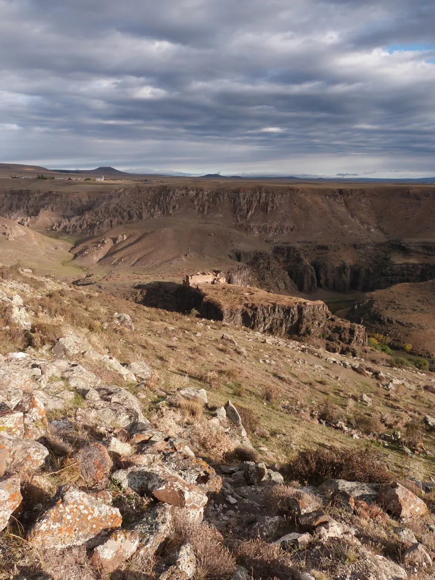
Magazberd or Maghasberd (Armenian: Մաղասաբերդ) is an archaeological site in Turkey's Kars Province, southwest of the ruined city of Ani. It consists of an Armenian castle and city, with a contemporary Ottoman cemetery in the narrow valley to the north.
Source: Wikipedia · CC BY-SA 4.0
Photos of Magazberd Fortress
-
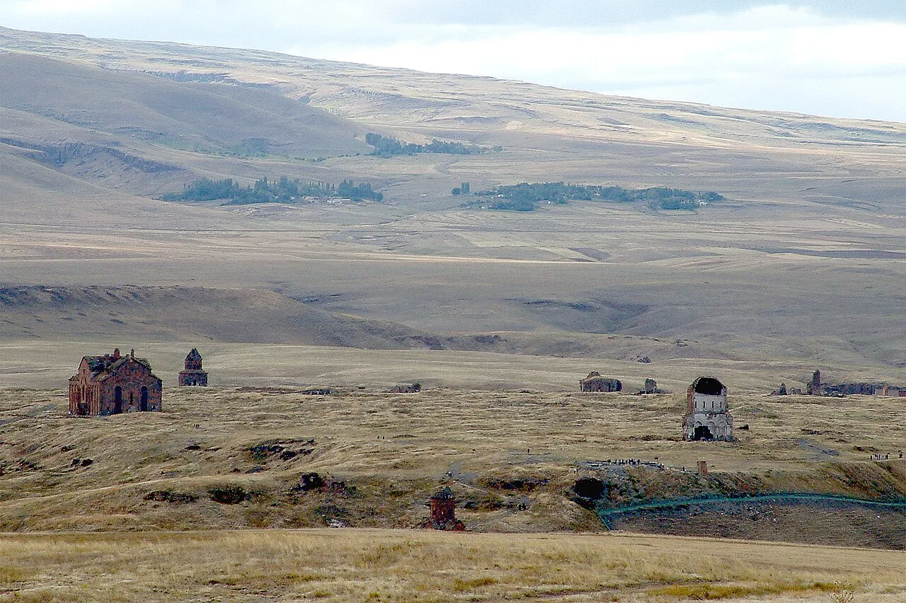
Ani haigoes · CC BY-SA 3.0 -
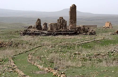
Cathedral of Saint Gregory the Illuminator Ggia · CC BY-SA 3.0 -
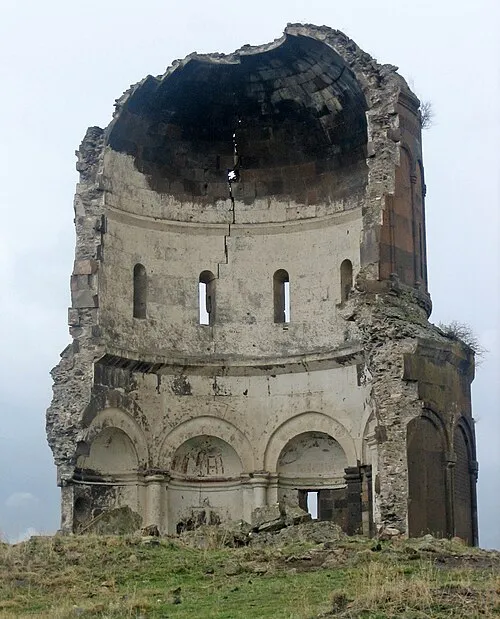
Church of the Holy Redeemer of Ani Citrat at Turkish Wikipedia · CC BY-SA 3.0 -
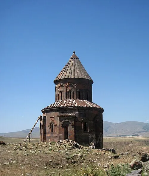
Saint Gregory of Abughamrents Church Armenak Margarian · CC BY-SA 4.0 -
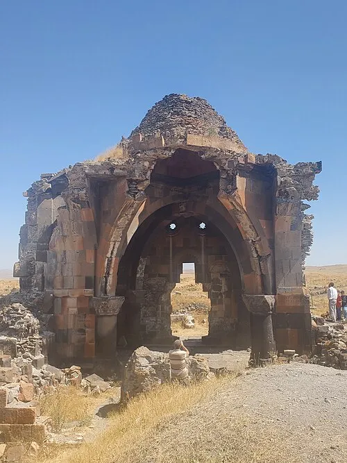
Church of the Holy Apostles Rəcəb Yaxşı · CC BY-SA 4.0


Climate of Magazberd Fortress
Best months for sightseeingBest months for sightseeing: June, September.
This month · November
A cold month
Day 9° · Night -2° · Rain 24 mm
Better nearby cities in November
- Cizre · 369 km south20°
- Silopi · 371 km south20°
- Hottest month
- August (day 30°)
- Coldest month
- January (night -12°)
- Wettest month
- May (70 mm)
- Driest month
- January (17 mm)
Bars: average monthly low and high temperature. Below: precipitation. Monthly averages for 1970–2000 at about 18 km resolution, adjusted for elevation. Highlighted months are mild and relatively dry. Source: WorldClim 2.1 (CC BY 4.0).
Show values as a table
| Month | Jan | Feb | Mar | Apr | May | Jun | Jul | Aug | Sep | Oct | Nov | Dec |
|---|---|---|---|---|---|---|---|---|---|---|---|---|
| Average high (°C) | -2° | -1° | 6° | 14° | 19° | 24° | 29° | 30° | 25° | 17° | 9° | 1° |
| Average low (°C) | -12° | -11° | -5° | 2° | 6° | 10° | 13° | 13° | 8° | 3° | -2° | -8° |
| Precipitation (mm) | 17 | 22 | 23 | 44 | 70 | 56 | 32 | 24 | 20 | 32 | 24 | 18 |
How to get to Magazberd Fortress
The nearest airport is Kars Airport (KSY), 37 km to the west as the crow flies. For international flights: Shirak International Airport (LWN) (41 km). The nearest large city is Iğdır, 75 km to the southeast.
Airports
- Kars Airport (KSY) Kars 37 kmwest
- Shirak International Airport (LWN) Gyumri 41 kmnortheast
- Iğdır Airport (IGD) Iğdır 62 kmsoutheast
Nearby large cities
- Iğdır Population: 101.7K 75 kmsoutheast
- Ağrı Population: 124.5K 95 kmsouthwest
- Rustavi Population: 128.2K 171 kmnortheast
- Tbilisi Population: 1M 173 kmnortheast
- Erzurum Population: 767.8K 203 kmwest
Straight-line distances; road distances are longer. Airport data: OurAirports.
Day trips from Magazberd Fortress
Within 100 km: 59 historic and cultural sites, 198 natural sites, 203 lakes, rivers and coasts.
0–25 km69 places
- Ani Historic site 4 kmNE
- Tap Tepe Mountain 24 kmW
- Kabaktepe Dağı Mountain 11 kmSW
- Büyükyahni Tepesi Mountain 23 kmNW
25–60 km138 places
- Lavaş Gölü Lake 56 kmNW
- Turna Gölü Lake 45 kmW
- Mustafa Gölü Lake 30 kmNW
- Mişk Gölü Lake 28 kmNW
60–100 km253 places
- Tba Mada Lake 80 kmN
- Kartsakhi Lake Lake 86 kmN
- Mt’a Emlik’li Mountain 93 kmN
- Ufak Adası Island 85 kmN
Straight-line distances.
Nearby attractions & nature
Everything nearby-
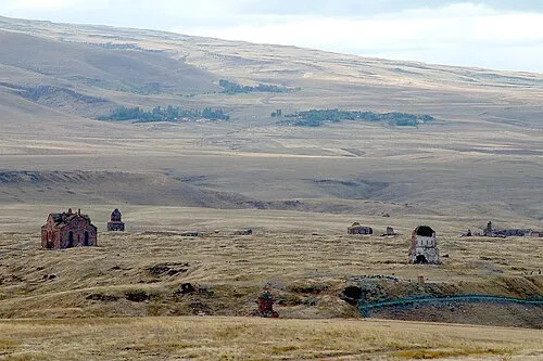 Ani Historic site, Kars4.4 km NE
-
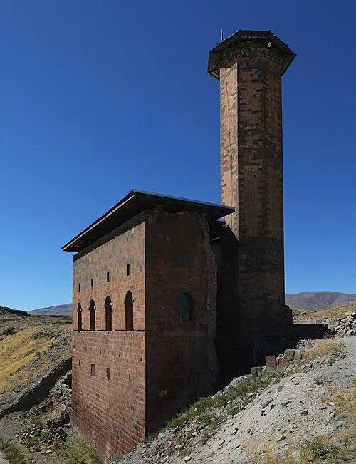 Menucihr Mosque Attraction, Kars4.1 km NE
-
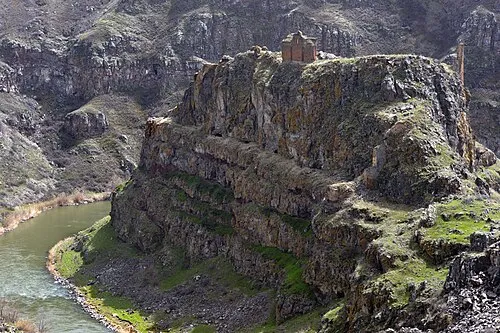 Saint Grigor Monastery (Aghkaberd, Ani) Attraction, Ani3.3 km NE
-
Saint Gregory of Abughamrents Church Attraction, Kars4.3 km NE
-
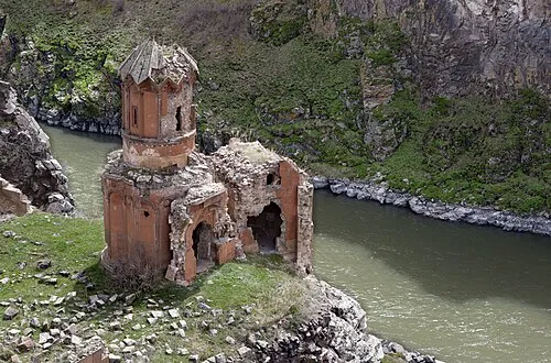 Monastery of the Hripsimyan Virgins Attraction, Kars4.4 km NE
-
Church of the Holy Apostles Attraction, Kars4.5 km NE
-
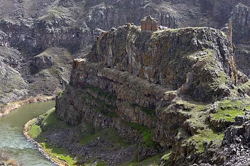 Kizkale Church Attraction, Kars3.3 km NE
-
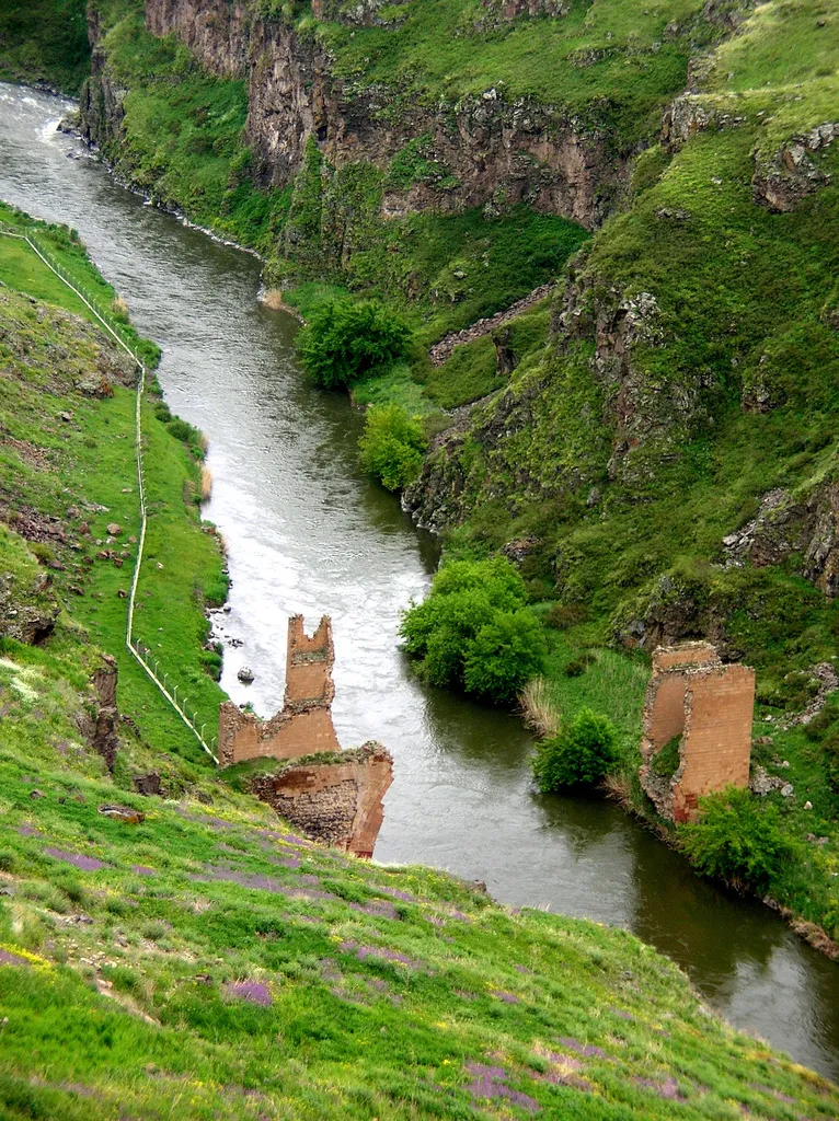 Bridge ruins over the Akhuryan river Historic site, Kars Province4.2 km NE
Nearest towns and villages
More sights in Kars
-
Cathedral of Saint Gregory the Illuminator Attraction, Kars4.5 km NE
-
Church of the Holy Redeemer of Ani Attraction, Kars4.6 km NE
-
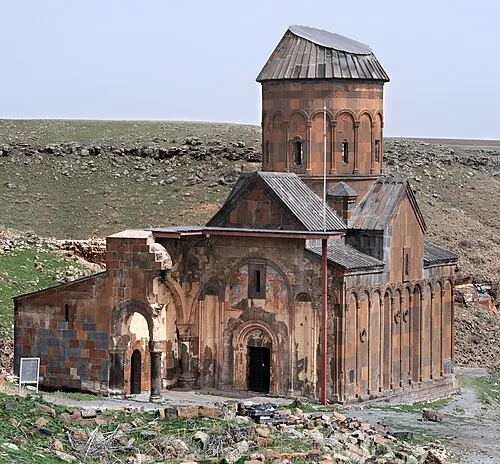 Tigran Honents Church Attraction, Kars4.6 km NE
-
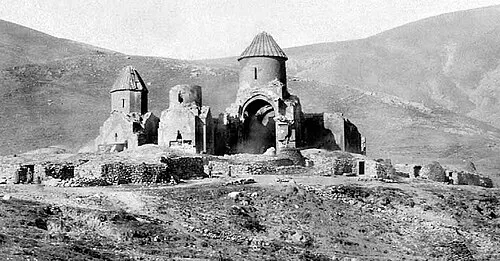 Bagnayr Monastery Historic site, Kars6.4 km NW
-
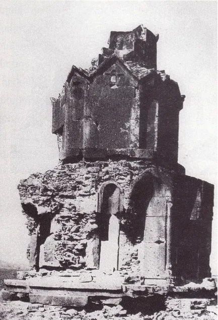 Hovvi Church Historic site, Kars5.3 km NE
-
Abukhanmi Church Historic site, Kars3.5 km NE
Sources & licences
Data last updated: · 2 independent sources