Kastamonu Province
Local name: Kastamonu ili
Located in Turkey Coordinates: 41°30′00″ N 33°40′00″ E
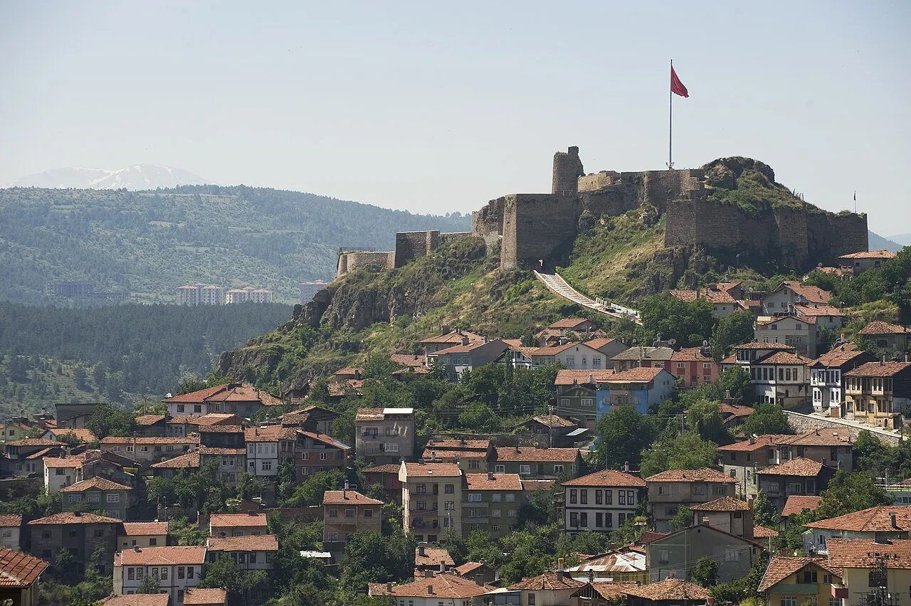
- Population
- 381,991
- 382K
- Elevation
- 908 m
- above sea level
- Local time
- UTC+03:00
- Europe/Istanbul · UTC+03:00
- Places inside
- 171
- listed under Kastamonu Province
- Airports
- KFS Kastamonu Airport23 km
- NOP Sinop Airport130 km
About Kastamonu Province
Kastamonu Province is a region. Location: Turkey. Population: 381,991.
Kastamonu Province (Turkish: Kastamonu ili) is a province of Turkey, in the Black Sea region in the north of the country. It is surrounded by Sinop to the east, Bartın, Karabük to the west, Çankırı to the south, Çorum to the southeast and the Black Sea to the north. Its area is 13,064 km2, and its population is 378,115 (2022). The population density is 29 inhabitants per km2. The provincial capital Kastamonu has a population of 128,707 (2022).
Source: Wikipedia · CC BY-SA 4.0
Photos of Kastamonu Province
-

Zhryldiz · CC BY-SA 4.0

Places bordering Kastamonu Province
- Sinop Province
- Çorum Province
- Çankırı Province
- Karabük Province
- Bartın Province
Climate of Kastamonu Province
Best months for sightseeingBest months for sightseeing: June–September.
This month · November
A cold month
Day 9° · Night 0° · Rain 38 mm
- Hottest month
- July (day 27°)
- Coldest month
- January (night -4°)
- Wettest month
- May (70 mm)
- Driest month
- September (29 mm)
Bars: average monthly low and high temperature. Below: precipitation. Monthly averages for 1970–2000 at about 18 km resolution, adjusted for elevation. Highlighted months are mild and relatively dry. Source: WorldClim 2.1 (CC BY 4.0).
Show values as a table
| Month | Jan | Feb | Mar | Apr | May | Jun | Jul | Aug | Sep | Oct | Nov | Dec |
|---|---|---|---|---|---|---|---|---|---|---|---|---|
| Average high (°C) | 2° | 5° | 10° | 15° | 20° | 23° | 27° | 26° | 22° | 17° | 9° | 4° |
| Average low (°C) | -4° | -4° | -2° | 3° | 7° | 10° | 12° | 12° | 8° | 4° | 0° | -3° |
| Precipitation (mm) | 45 | 36 | 41 | 58 | 70 | 57 | 37 | 34 | 29 | 45 | 38 | 51 |
Other places to visit in this season: June July August September
How to get to Kastamonu Province
The nearest airport is Kastamonu Airport (KFS), 23 km to the southeast as the crow flies. The nearest large city is Kastamonu, 16 km to the southeast.
Airports
- Kastamonu Airport (KFS) Kastamonu 23 kmsoutheast
- Sinop Airport (NOP) Sinop 130 kmnortheast
- Zonguldak Çaycuma Airport (ONQ) Zonguldak 132 kmwest
Nearby large cities
- Kastamonu Population: 125.6K 16 kmsoutheast
- Karabük Population: 125.4K 93 kmwest
- Çorum Population: 269.6K 151 kmsoutheast
- Zonguldak Population: 101.7K 157 kmwest
- Kirikkale Population: 187K 184 kmsouth
Straight-line distances; road distances are longer. Airport data: OurAirports.
Places in Kastamonu Province
171 places- 1 Tosya İlçesi 40.5K
- 2 Taşköprü İlçesi 39.4K
- 3 İnebolu İlçesi 22.8K
- 4 Cide 20.6K
- 5 Araç İlçesi 19.2K
- 6 Devrekani İlçesi 13K
- 7 Daday İlçesi 9.9K
- 8 Bozkurt İlçesi 9.3K
- 9 Azdavay İlçesi 7.5K
- 10 Çatalzeytin İlçesi 7K
- 11 Küre İlçesi 6.8K
- 12 Doğanyurt İlçesi 6.8K
- 13 Pınarbaşı İlçesi 6.2K
- 14 İhsangazi İlçesi 6K
- 15 Şenpazar İlçesi 5.1K
- 16 Hanönü İlçesi 4.1K
- 17 Seydiler İlçesi 4.1K
- 18 Abana İlçesi 4K
- 19 Ağlı İlçesi 3K
Bar: population relative to the most populous place in this list.
Cities & villages9
- Abana Bucağı · Municipality
- Ağlı Bucağı · Municipality
- Akkaya Bucağı · Municipality
- Araç Bucağı · Municipality
- Aşağıgüney · Village
- Azdavay Bucağı · Municipality
- Boyalı Bucağı · Municipality
- Bozkurt Bucağı · Municipality
- Çatalzeytin Bucağı · Municipality
Mountains & nature2
- Alınca Tepesi · Mountain
- Çangal Pınarı · Natural site
Lakes, rivers & coasts30
- Abana Deresi · River
- Acısu Deresi · River
- Ağçakavak Deresi · River
- Ahlatcık Deresi · River
- Akçay · River
- Akkaya Çayı · River
- Aksakal Deresi · River
- Aksu · River
- Aktaş Deresi · River
- Alaçam Deresi · River
- Anday Çayı · River
- Aşağı Çay · River
- Asar Deresi · River
- Avşar Deresi · River
- Aydos Çayı · River
- Baldıran Deresi · River
- Başköy Deresi · River
- Bavat Deresi · River
- Bekir Çayı · River
- Bük Deresi · River
- Büyük Çay · River
- Çamkoru Deresi · River
- Çarşaf Deresi · River
- Çatak Deresi · River
- Çatak Deresi · River
- Çatak Deresi · River
- Çatalçam Deresi · River
- Çatalzeytin Çayı · River
- Çeme Çayı · River
- Çengelli Dere · River
Largest cities and towns
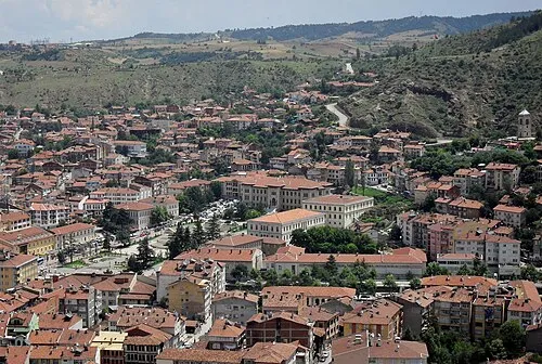
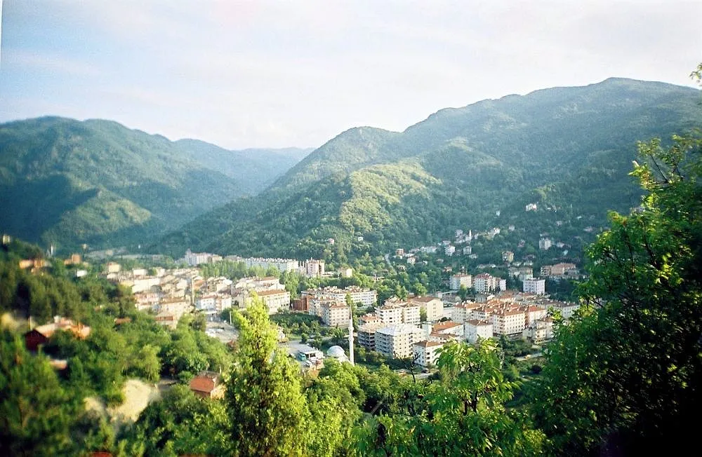
Nature and heritage in Kastamonu Province
Sources & licences
Data last updated: · 2 independent sources