- Elevation
- 1,345 m
- above sea level
- Local time
- UTC+02:00
- Europe/Bucharest · UTC+02:00
- Airports
- SBZ Sibiu International Airport76 km
- CRA Craiova International Airport116 km
About La Văcărie
La Văcărie is a mountain. Location: Oraş Bumbeşti-Jiu, Gorj County. Elevation: 1,345 m. The best months to visit are June–August. The nearest airport is Sibiu International Airport (76 km). Nearby sights include Cheafa and Petriceaua.
Climate of La Văcărie
Best months for sightseeingBest months for sightseeing: June–August.
This month · November
A cold month
Day 3° · Night -5° · Rain 50 mm
- Hottest month
- July (day 19°)
- Coldest month
- January (night -9°)
- Wettest month
- June (106 mm)
- Driest month
- January (39 mm)
Bars: average monthly low and high temperature. Below: precipitation. Monthly averages for 1970–2000 at about 18 km resolution, adjusted for elevation. Highlighted months are mild and relatively dry. Source: WorldClim 2.1 (CC BY 4.0).
Show values as a table
| Month | Jan | Feb | Mar | Apr | May | Jun | Jul | Aug | Sep | Oct | Nov | Dec |
|---|---|---|---|---|---|---|---|---|---|---|---|---|
| Average high (°C) | -2° | -1° | 3° | 9° | 14° | 17° | 19° | 19° | 15° | 9° | 3° | -2° |
| Average low (°C) | -9° | -9° | -6° | -1° | 4° | 7° | 9° | 8° | 5° | 0° | -5° | -8° |
| Precipitation (mm) | 39 | 42 | 44 | 72 | 93 | 106 | 89 | 77 | 63 | 57 | 50 | 50 |
How to get to La Văcărie
The nearest airport is Sibiu International Airport (SBZ), 76 km to the northeast as the crow flies. The nearest large city is Sibiu, 80 km to the northeast.
Airports
- Sibiu International Airport (SBZ) Sibiu 76 kmnortheast
- Craiova International Airport (CRA) Craiova 116 kmsouth
- Târgu Mureş Transilvania International Airport (TGM) Recea 151 kmnortheast
Nearby large cities
- Sibiu Population: 134.3K 80 kmnortheast
- Craiova Population: 234.1K 114 kmsouth
- Piteşti Population: 141.3K 125 kmsoutheast
- Cluj-Napoca Population: 286.6K 163 kmnorth
- Târgu Mureş Population: 212.8K 164 kmnortheast
Straight-line distances; road distances are longer. Airport data: OurAirports.
Day trips from La Văcărie
Within 100 km: 1 historic or cultural site, 316 natural sites, 2 lakes, rivers and coasts.
0–25 km61 places
- Gemănarea Mountain 11 kmNE
- Stoinița Mountain 11 kmNE
- Slivei Mountain 12 kmNE
- Mija Mountain 13 kmNE
25–60 km86 places
- Valea Racilor Natural site 52 kmSW
- Valea Răchita Natural site 54 kmSE
- Valea Purcărelul Natural site 52 kmS
- Valea Pârâului Natural site 43 kmS
60–100 km172 places
- Valea Râul Sadului Natural site 69 kmNE
- Valea Porcurei Natural site 87 kmN
- Valea Plăvaia Natural site 64 kmSE
- Valea Pietroasa Natural site 86 kmSE
Straight-line distances.
Nearest towns and villages
-
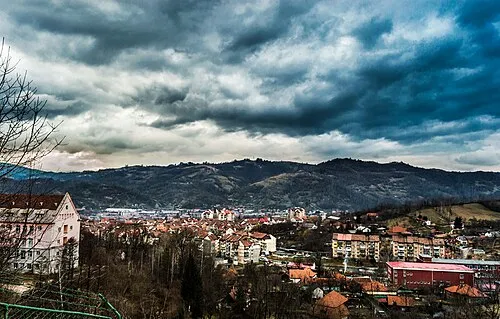 Petroşani City, Municipiul Petroşani13 km N
-
Iscroni Village, Oraş Aninoasa9.9 km NW
-
Bumbeşti-Jiu City, Oraş Bumbeşti-Jiu15 km S
-
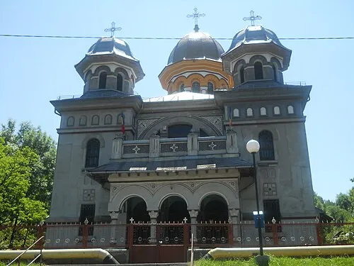 Lupeni Town, Municipiul Lupeni15 km NW
-
Slătinioara Neighbourhood, Municipiul Petroşani12 km N
-
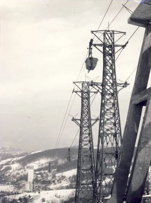 Aninoasa City, Oraş Aninoasa14 km NW
Nearby attractions & nature
Everything nearby-
Cheafa Mountain, Oraş Bumbeşti-Jiu1.3 km S
-
Petriceaua Mountain, Gorj County1.4 km NE
-
Pietrele Albe Mountain, Oraş Bumbeşti-Jiu2.1 km N
-
Sapa Mountain, Gorj County2.8 km NE
-
Recii Mountain, Oraş Bumbeşti-Jiu3 km E
-
Fața Babei Mountain, Oraş Bumbeşti-Jiu3.2 km S
-
Scoaba Mountain, Oraş Bumbeşti-Jiu4.6 km SE
-
Răscolul Mountain, Gorj County7.6 km NE
Sources & licences
Data last updated: · 2 independent sources