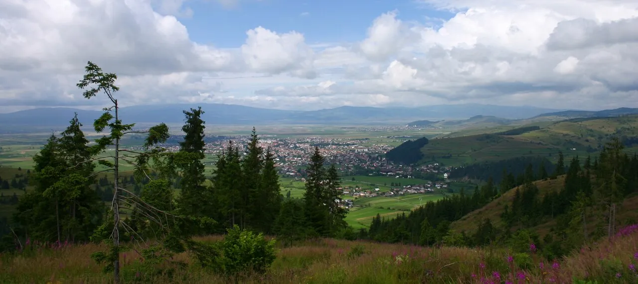
Municipiul Gheorgheni
Located in Harghita County, Romania Coordinates: 46°43′22″ N 25°35′57″ E
- Population
- 15,884
- 15.9K
- Elevation
- 815 m
- above sea level
- Local time
- UTC+02:00
- Europe/Bucharest · UTC+02:00
- Places inside
- 5
- listed under Municipiul Gheorgheni
- Airports
- TGM Târgu Mureş Transilvania International Airport95 km
- BCM Bacău George Enescu International Airport103 km
About Municipiul Gheorgheni
Municipiul Gheorgheni is a district. Location: Harghita County, Romania. Population: 15,884. The best months to visit are June–August. The nearest airport is Târgu Mureş Transilvania International Airport (95 km). Nearby sights include Poienii and Muntele Mic.
Climate of Municipiul Gheorgheni
Best months for sightseeingBest months for sightseeing: June–August.
This month · November
A cold month
Day 5° · Night -4° · Rain 27 mm
- Hottest month
- July (day 23°)
- Coldest month
- January (night -10°)
- Wettest month
- June (101 mm)
- Driest month
- January (25 mm)
Bars: average monthly low and high temperature. Below: precipitation. Monthly averages for 1970–2000 at about 18 km resolution, adjusted for elevation. Highlighted months are mild and relatively dry. Source: WorldClim 2.1 (CC BY 4.0).
Show values as a table
| Month | Jan | Feb | Mar | Apr | May | Jun | Jul | Aug | Sep | Oct | Nov | Dec |
|---|---|---|---|---|---|---|---|---|---|---|---|---|
| Average high (°C) | -1° | 0° | 6° | 12° | 18° | 21° | 23° | 22° | 18° | 12° | 5° | -1° |
| Average low (°C) | -10° | -9° | -5° | 0° | 5° | 9° | 10° | 9° | 5° | 0° | -4° | -8° |
| Precipitation (mm) | 25 | 25 | 29 | 50 | 73 | 101 | 93 | 74 | 47 | 37 | 27 | 31 |
How to get to Municipiul Gheorgheni
The nearest airport is Târgu Mureş Transilvania International Airport (TGM), 95 km to the west as the crow flies. For international flights: Bacău George Enescu International Airport (BCM) (103 km). The nearest large city is Piatra Neamţ, 60 km to the east.
Airports
- Târgu Mureş Transilvania International Airport (TGM) Recea 95 kmwest
- Bacău George Enescu International Airport (BCM) Bacău 103 kmeast
- Brașov-Ghimbav International Airport (GHV) Brașov (Ghimbav) 113 kmsouth
Nearby large cities
- Piatra Neamţ Population: 102.7K 60 kmeast
- Târgu Mureş Population: 212.8K 82 kmwest
- Bacau Population: 136.1K 102 kmeast
- Brasov Population: 253.2K 119 kmsouth
- Sibiu Population: 134.3K 152 kmsouthwest
Straight-line distances; road distances are longer. Airport data: OurAirports.
Day trips from Municipiul Gheorgheni
Within 100 km: 4 historic and cultural sites, 157 natural sites.
0–25 km4 places
- Muntele Mic Mountain 23 kmS
- Porcul Mountain 25 kmS
- Poienii Mountain 17 kmS
- Valea Corbului Natural site 23 kmN
25–60 km41 places
- Valea Chiherului Natural site 57 kmW
- Valea Bicaz Natural site 43 kmNE
- Pietrosul Călimanilor Mountain 55 kmNW
- Moldavian Carpathians Mountain 43 kmNE
60–100 km116 places
- Valea Putnei Natural site 84 kmN
- Valea Orbicului Natural site 83 kmE
- Valea Nirajului Natural site 62 kmW
- Horezu Mountain 96 kmS
Straight-line distances.
Places in Municipiul Gheorgheni
5 placesBar: population relative to the most populous place in this list.
Nearby attractions & nature
Everything nearby-
Poienii Mountain, Comuna Cârţa17 km S
-
Muntele Mic Mountain, Comuna Dăneşti23 km S
-
Porcul Mountain, Comuna Mădăraş25 km S
-
Valea Corbului Natural site, Romania23 km N
Sources & licences
Data last updated: