Râmnicu Vâlcea
Located in Municipiul Râmnicu Vâlcea, Vâlcea County Coordinates: 45°06′00″ N 24°22′00″ E
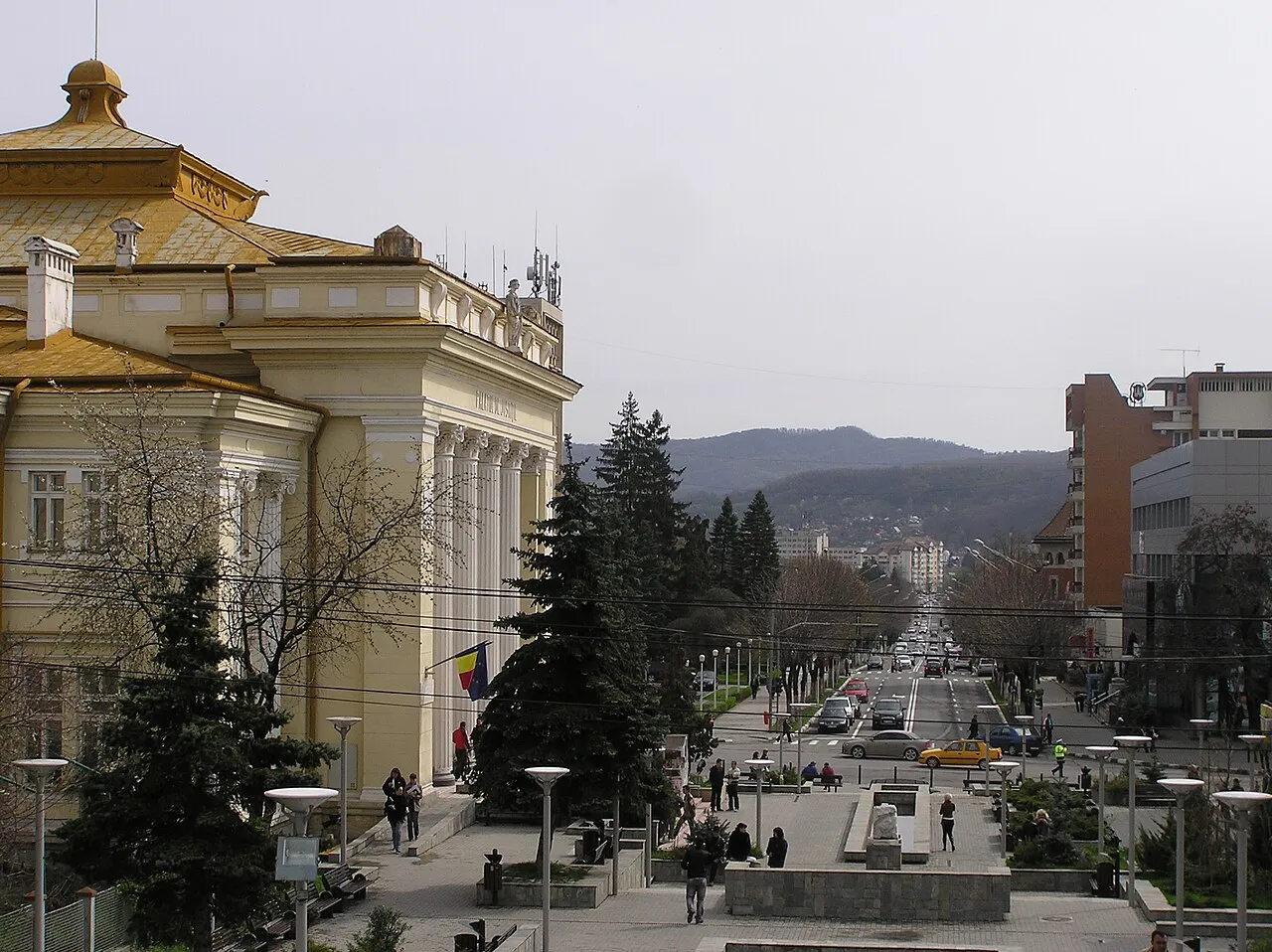
- Population
- 93,151
- 93.2K
- Elevation
- 237 m
- above sea level
- Local time
- UTC+02:00
- Europe/Bucharest · UTC+02:00
- Airports
- SBZ Sibiu International Airport79 km
- CRA Craiova International Airport95 km
About Râmnicu Vâlcea
Râmnicu Vâlcea is a city. Location: Municipiul Râmnicu Vâlcea, Vâlcea County. Population: 93,151. Elevation: 237 m. The best months to visit are May–June, September. The nearest airport is Sibiu International Airport (79 km). Nearby sights include Șuvița Olănești and Cocoșului.
Climate of Râmnicu Vâlcea
Best months for sightseeingBest months for sightseeing: May–June, September.
This month · November
A cold month
Day 9° · Night 1° · Rain 44 mm
- Hottest month
- July (day 27°)
- Coldest month
- January (night -4°)
- Wettest month
- June (87 mm)
- Driest month
- January (31 mm)
Bars: average monthly low and high temperature. Below: precipitation. Monthly averages for 1970–2000 at about 18 km resolution, adjusted for elevation. Highlighted months are mild and relatively dry. Source: WorldClim 2.1 (CC BY 4.0).
Show values as a table
| Month | Jan | Feb | Mar | Apr | May | Jun | Jul | Aug | Sep | Oct | Nov | Dec |
|---|---|---|---|---|---|---|---|---|---|---|---|---|
| Average high (°C) | 4° | 6° | 11° | 17° | 22° | 25° | 27° | 27° | 23° | 17° | 9° | 5° |
| Average low (°C) | -4° | -3° | 1° | 6° | 10° | 14° | 15° | 15° | 11° | 6° | 1° | -3° |
| Precipitation (mm) | 31 | 33 | 33 | 55 | 85 | 87 | 83 | 69 | 49 | 48 | 44 | 40 |
How to get to Râmnicu Vâlcea
The nearest airport is Sibiu International Airport (SBZ), 79 km to the north as the crow flies. The nearest large city is Piteşti, 48 km to the southeast.
Airports
- Sibiu International Airport (SBZ) Sibiu 79 kmnorth
- Craiova International Airport (CRA) Craiova 95 kmsouthwest
- Brașov-Ghimbav International Airport (GHV) Brașov (Ghimbav) 113 kmnortheast
Nearby large cities
- Piteşti Population: 141.3K 48 kmsoutheast
- Sibiu Population: 134.3K 80 kmnorth
- Craiova Population: 234.1K 98 kmsouthwest
- Brasov Population: 253.2K 115 kmnortheast
- Ploieşti Population: 180.5K 131 kmeast
Straight-line distances; road distances are longer. Airport data: OurAirports.
Day trips from Râmnicu Vâlcea
Within 100 km: 1 historic or cultural site, 673 natural sites, 3 lakes, rivers and coasts.
0–25 km24 places
- Valea Balomireasa Natural site 21 kmS
- Dealul Drobului Mountain 20 kmW
- Muntele Cozia Mountain 24 kmN
- Cozia Mountain 25 kmN
25–60 km238 places
- Valea Râncăciov Natural site 55 kmE
- Valea Răchita Natural site 59 kmSW
- Valea Purcăreanca Natural site 43 kmE
- Valea Plăvaia Natural site 48 kmSW
60–100 km415 places
- Coltii Blajeni Mountain 66 kmE
- Valea Râul Sadului Natural site 64 kmN
- Valea Purcărelul Natural site 78 kmW
- Valea Potopinului Natural site 98 kmS
Straight-line distances.
Râmnicu Vâlcea and similar cities
Side by side with cities of similar size in the same country: population, elevation and climate.
| Measure | Râmnicu Vâlcea | Botoșani | Piatra Neamţ | Suceava |
|---|---|---|---|---|
| Population | 93.2K | 90K | 102.7K | 84.3K |
| Elevation | 237 m | 159 m | 508 m | 360 m |
| Summer day (hottest month) | 27° | 26° | 24° | 25° |
| Winter night (coldest month) | -4° | -6° | -6° | -7° |
| Annual rainfall | 657 mm | 559 mm | 564 mm | 574 mm |
| Best months | May–Jun, Sep | May–Sep | Jun–Sep | May–Sep |
| Distance | — | 344 km | 253 km | 317 km |
Climate values are 1970–2000 monthly averages; straight-line distance.
Nearby attractions & nature
Everything nearby-
Șuvița Olănești Mountain, Oraş Bãile Olãneşti16 km NW
-
Cocoșului Mountain, Oraş Bãile Olãneşti16 km NW
-
Cenușăreasa Mountain, Oraş Cãlimãneşti17 km NW
-
Dealul Butoi Mountain, Oraş Bãile Olãneşti18 km NW
-
Dealul Groșetului Mountain, Oraş Cãlimãneşti18 km N
-
Dealul Priboieni Mountain, Oraş Cãlimãneşti20 km N
-
Păușa Mountain, Oraş Cãlimãneşti20 km N
-
Dosul Morii Mountain, Comuna Berislăveşti20 km N
Sources & licences
Data last updated: · 2 independent sources