Stráňany
Located in Stará Ľubovňa District, Prešov Region Coordinates: 49°22′01″ N 20°32′34″ E
- Population
- 192
- 192
- Elevation
- 651 m
- above sea level
- Local time
- UTC+01:00
- Europe/Bratislava · UTC+01:00
- Airports
- TAT Poprad-Tatry Airport40 km
- KSC Košice International Airport93 km
About Stráňany
Stráňany is a village. Location: Stará Ľubovňa District, Prešov Region. Population: 192. Elevation: 651 m.
Stráňany (until 1948: Folvark; Hungarian: Nagymajor; Polish: Folwark; Rusyn: Страняны) is a village and municipality in Stará Ľubovňa District in the Prešov Region of northern Slovakia. The village is traditionally inhabited by Rusyns, as one of their westernmost settlements. There is Greek Catholic church built in 1857.
Source: Wikipedia · CC BY-SA 4.0
Places bordering Stráňany
- Veľký Lipník
- Vysne Ruzbachy
- Kamienka
Population of Stráňany over time
| 2017 | 192 | |
|---|---|---|
| 2021 | 187 | |
| 2024 | 180 | |
| 2025 | 187 |
Censuses and official estimates; source: Wikidata.
Climate of Stráňany
Best months for sightseeingBest months for sightseeing: June–August.
This month · November
A cold month
Day 5° · Night -1° · Rain 65 mm
- Hottest month
- July (day 21°)
- Coldest month
- January (night -6°)
- Wettest month
- June (148 mm)
- Driest month
- February (45 mm)
Bars: average monthly low and high temperature. Below: precipitation. Monthly averages for 1970–2000 at about 18 km resolution, adjusted for elevation. Highlighted months are mild and relatively dry. Source: WorldClim 2.1 (CC BY 4.0).
Show values as a table
| Month | Jan | Feb | Mar | Apr | May | Jun | Jul | Aug | Sep | Oct | Nov | Dec |
|---|---|---|---|---|---|---|---|---|---|---|---|---|
| Average high (°C) | 1° | 2° | 6° | 11° | 17° | 20° | 21° | 21° | 17° | 12° | 5° | 1° |
| Average low (°C) | -6° | -6° | -2° | 2° | 6° | 9° | 11° | 10° | 7° | 3° | -1° | -5° |
| Precipitation (mm) | 72 | 45 | 50 | 72 | 107 | 148 | 141 | 110 | 80 | 64 | 65 | 62 |
How to get to Stráňany
The nearest airport is Poprad-Tatry Airport (TAT), 40 km to the southwest as the crow flies. For international flights: Kraków John Paul II International Airport (KRK) (96 km). The nearest large city is Košice, 89 km to the southeast.
Airports
- Poprad-Tatry Airport (TAT) Poprad 40 kmsouthwest
- Košice International Airport (KSC) Košice 93 kmsoutheast
- Kraków John Paul II International Airport (KRK) Balice 96 kmnorthwest
Nearby large cities
- Košice Population: 225K 89 kmsoutheast
- Miskolc Population: 154.5K 142 kmsouth
- Nyíregyháza Population: 117.7K 179 kmsoutheast
- Debrecen Population: 202.4K 219 kmsouth
- Satu Mare Population: 112.5K 244 kmsoutheast
Straight-line distances; road distances are longer. Airport data: OurAirports.
Day trips from Stráňany
Within 100 km: 45 historic and cultural sites, 287 natural sites, 11 lakes, rivers and coasts.
0–25 km25 places
- Beskids Mountain 22 kmW
- Červený Kláštor Attraction 10 kmW
- Jaworzyna Mountain 19 kmNW
- Levočské Vrchy Mountain 24 kmS
25–60 km194 places
- Skalnaté pleso Lake 30 kmSW
- Popradské Pleso Lake 41 kmSW
- Ostrá Mountain 44 kmSW
- Vysoká Mountain 39 kmSW
60–100 km124 places
- Čertovica Mountain 77 kmSW
- Baníkov Mountain 63 kmW
- Orava Castle Historic site 87 kmW
- Kolanin Mountain 69 kmE
Straight-line distances.
Nearby attractions & nature
Everything nearby-
Wroni Wierch Mountain, Szczawnica4.7 km N
-
Załazie Mountain, Lesser Poland Voivodeship6.1 km NW
-
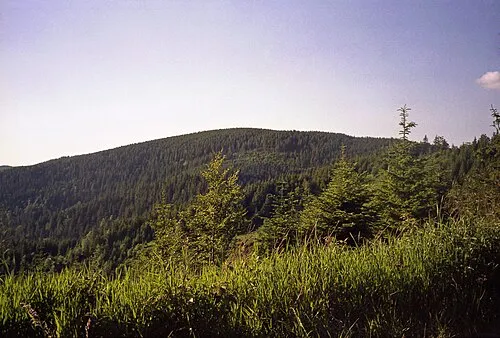 Radziejowa Mountain, Szczawnica10 km NE
-
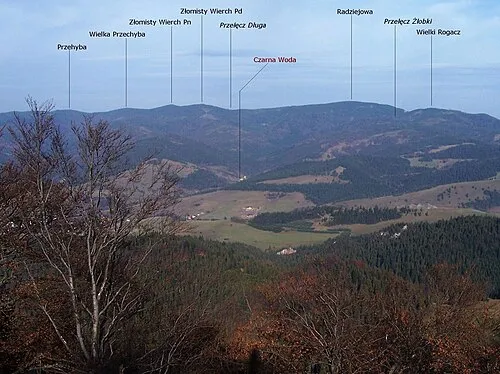 Złomisty Wierch Mountain, Gmina Rytro11 km N
-
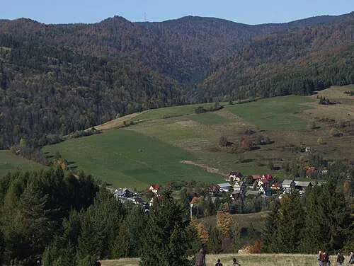 Przehyba Mountain, Szczawnica11 km N
-
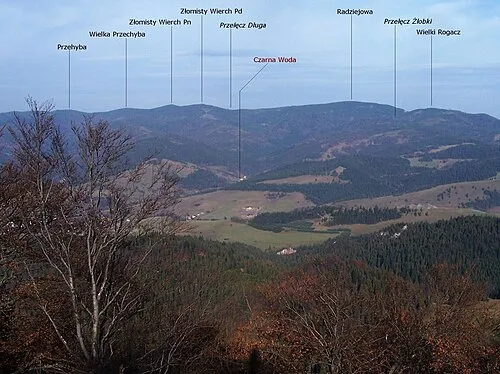 Wielka Przehyba Mountain, Szczawnica11 km N
Sources & licences
Data last updated: · 2 independent sources