Oravské Veselé
Located in Námestovo District, Žilina Region Coordinates: 49°27′58″ N 19°23′00″ E

- Population
- 2,991
- 3K
- Elevation
- 723 m
- above sea level
- Local time
- UTC+01:00
- Europe/Bratislava · UTC+01:00
- Airports
- KRK Kraków John Paul II International Airport74 km
- TAT Poprad-Tatry Airport76 km
About Oravské Veselé
Oravské Veselé is a village. Location: Námestovo District, Žilina Region. Population: 2,991. Elevation: 723 m.
Oravské Veselé is a village and municipality in Námestovo District in the Žilina Region of northern Slovakia.
Source: Wikipedia · CC BY-SA 4.0
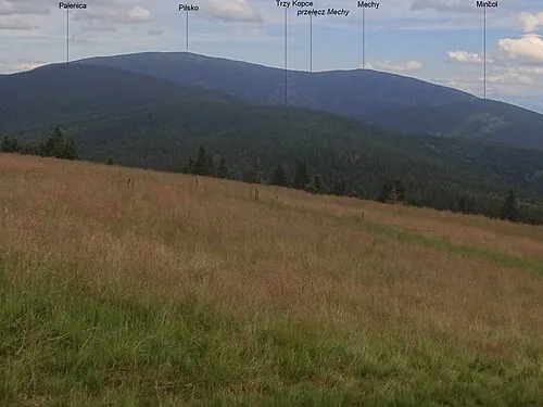
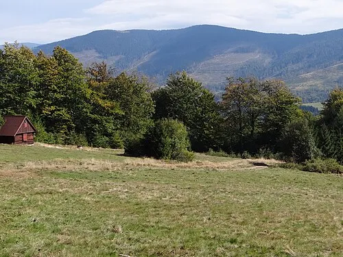
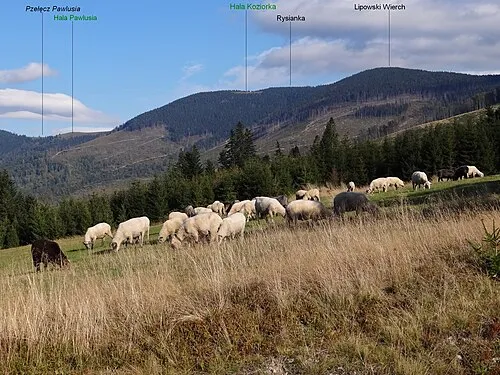
Photos of Oravské Veselé
-

Anton Šefčík · CC BY-SA 4.0 -

Kris Sliver · CC BY-SA 3.0 -

Anton Šefčík · CC BY-SA 4.0


Places bordering Oravské Veselé
- Mútne
Population of Oravské Veselé over time
| 2017 | 2,931 | |
|---|---|---|
| 2021 | 2,996 | |
| 2024 | 3,081 | |
| 2025 | 3,102 |
Censuses and official estimates; source: Wikidata.
Climate of Oravské Veselé
Best months for sightseeingBest months for sightseeing: June–August.
This month · November
A cold month
Day 5° · Night -3° · Rain 71 mm
- Hottest month
- August (day 21°)
- Coldest month
- January (night -8°)
- Wettest month
- July (133 mm)
- Driest month
- March (58 mm)
Bars: average monthly low and high temperature. Below: precipitation. Monthly averages for 1970–2000 at about 18 km resolution, adjusted for elevation. Highlighted months are mild and relatively dry. Source: WorldClim 2.1 (CC BY 4.0).
Show values as a table
| Month | Jan | Feb | Mar | Apr | May | Jun | Jul | Aug | Sep | Oct | Nov | Dec |
|---|---|---|---|---|---|---|---|---|---|---|---|---|
| Average high (°C) | 0° | 1° | 5° | 11° | 17° | 19° | 21° | 21° | 17° | 12° | 5° | 1° |
| Average low (°C) | -8° | -8° | -4° | 0° | 4° | 7° | 9° | 8° | 5° | 2° | -3° | -6° |
| Precipitation (mm) | 66 | 61 | 58 | 66 | 102 | 124 | 133 | 112 | 86 | 67 | 71 | 69 |
How to get to Oravské Veselé
The nearest airport is Kraków John Paul II International Airport (KRK), 74 km to the northeast as the crow flies. The nearest large city is Košice, 160 km to the southeast.
Airports
- Kraków John Paul II International Airport (KRK) Balice 74 kmnortheast
- Poprad-Tatry Airport (TAT) Poprad 76 kmsoutheast
- Sliač Airport (SLD) Sliač 94 kmsouth
Nearby large cities
- Košice Population: 225K 160 kmsoutheast
- Miskolc Population: 154.5K 183 kmsoutheast
- Brno Population: 404.3K 204 kmwest
- Bratislava Population: 423.7K 222 kmsouthwest
- Győr Population: 129.3K 237 kmsouthwest
Straight-line distances; road distances are longer. Airport data: OurAirports.
Day trips from Oravské Veselé
Within 100 km: 58 historic and cultural sites, 391 natural sites, 12 lakes, rivers and coasts.
0–25 km38 places
- Orava Castle Historic site 23 kmS
- Oravská Magura Mountain 18 kmS
- Beskid Żywiecki Mountain 22 kmW
- Główniak Mountain 21 kmNE
25–60 km249 places
- Korňa River 56 kmW
- Ostrá Mountain 57 kmSE
- Veľký Kriváň Mountain 40 kmSW
- Rakytov Mountain 58 kmS
60–100 km174 places
- Skalnaté pleso Lake 69 kmSE
- Popradské Pleso Lake 61 kmSE
- Vysoká Mountain 61 kmSE
- Slavkovský štít Mountain 67 kmSE
Straight-line distances.
Nearby attractions & nature
Everything nearby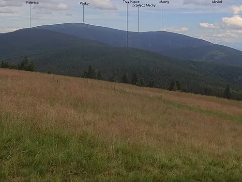
Other cities and towns in Námestovo District


Sources & licences
Data last updated: · 2 independent sources