
- Population
- 5,738
- 5.7K
- Elevation
- 703 m
- above sea level
- Local time
- UTC+01:00
- Europe/Bratislava · UTC+01:00
- Airports
- TAT Poprad-Tatry Airport78 km
- SLD Sliač Airport84 km
About Zákamenné
Zákamenné is a town. Location: Námestovo District, Žilina Region. Population: 5,738. Elevation: 703 m.
Zákamenné (pol. Zakamienny Klin) is the biggest village in the Orava region in the northern part of Slovakia. Zákamenné lies in the north-western part of Orava. It belongs to the protected landscape area of Horná Orava and the specially protected area of Horná Orava. The villages which surround Zákamenné are Oravská Lesná, Novoť, Lomná, Breza, Krušetnica and Ujsoly in Poland.
Source: Wikipedia · CC BY-SA 4.0
Places bordering Zákamenné
- Novoť
- Oravská Lesná
- Lomná
- Breza
- Krušetnica
Population of Zákamenné over time
| 2017 | 5,442 | |
|---|---|---|
| 2021 | 5,542 | |
| 2024 | 5,694 | |
| 2025 | 5,738 |
Censuses and official estimates; source: Wikidata.
Climate of Zákamenné
Best months for sightseeingBest months for sightseeing: June–August.
This month · November
A cold month
Day 5° · Night -2° · Rain 82 mm
- Hottest month
- August (day 21°)
- Coldest month
- January (night -8°)
- Wettest month
- July (140 mm)
- Driest month
- February (70 mm)
Bars: average monthly low and high temperature. Below: precipitation. Monthly averages for 1970–2000 at about 18 km resolution, adjusted for elevation. Highlighted months are mild and relatively dry. Source: WorldClim 2.1 (CC BY 4.0).
Show values as a table
| Month | Jan | Feb | Mar | Apr | May | Jun | Jul | Aug | Sep | Oct | Nov | Dec |
|---|---|---|---|---|---|---|---|---|---|---|---|---|
| Average high (°C) | 0° | 1° | 5° | 10° | 16° | 19° | 21° | 21° | 17° | 12° | 5° | 1° |
| Average low (°C) | -8° | -7° | -4° | 0° | 5° | 7° | 9° | 9° | 6° | 2° | -2° | -6° |
| Precipitation (mm) | 78 | 70 | 70 | 71 | 106 | 131 | 140 | 119 | 93 | 75 | 82 | 84 |
How to get to Zákamenné
The nearest airport is Poprad-Tatry Airport (TAT), 78 km to the southeast as the crow flies. For international flights: Kraków John Paul II International Airport (KRK) (84 km). The nearest large city is Košice, 162 km to the southeast.
Airports
- Poprad-Tatry Airport (TAT) Poprad 78 kmsoutheast
- Sliač Airport (SLD) Sliač 84 kmsouth
- Kraków John Paul II International Airport (KRK) Balice 84 kmnortheast
Nearby large cities
- Košice Population: 225K 162 kmsoutheast
- Miskolc Population: 154.5K 180 kmsoutheast
- Brno Population: 404.3K 196 kmwest
- Bratislava Population: 423.7K 212 kmsouthwest
- Győr Population: 129.3K 226 kmsouthwest
Straight-line distances; road distances are longer. Airport data: OurAirports.
Day trips from Zákamenné
Within 100 km: 45 historic and cultural sites, 395 natural sites, 14 lakes, rivers and coasts.
0–25 km31 places
- Orava Castle Historic site 15 kmS
- Bugaj Mountain 20 kmW
- Veľký Rozsutec Mountain 22 kmSW
- Oravská Magura Mountain 12 kmSE
25–60 km229 places
- Korňa River 49 kmW
- Ostrá Mountain 59 kmSE
- Veľký Kriváň Mountain 29 kmSW
- Tlstá Mountain 56 kmSW
60–100 km194 places
- Skalnaté pleso Lake 72 kmE
- Popradské Pleso Lake 63 kmSE
- Vysoká Mountain 63 kmE
- Slavkovský štít Mountain 69 kmE
Straight-line distances.
Nearby attractions & nature
Everything nearby-
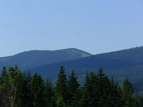 Rycerzowa Wielka Mountain, Gmina Ujsoły15 km W
-
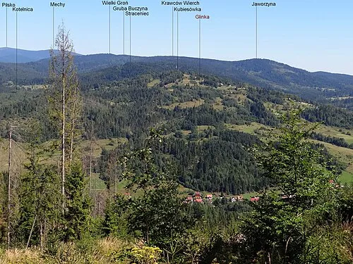 Kubiesowka Mountain, Gmina Ujsoły13 km NW
-
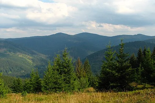 Rycerzowa Mała Mountain, Gmina Ujsoły15 km W
-
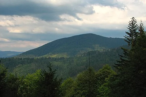 Minczoł Mountain, Gmina Ujsoły16 km NW
-
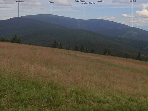 Palenica Mountain, Gmina Jeleśnia16 km N
-
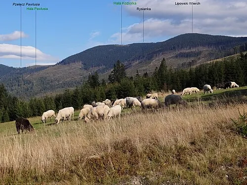 Lipowska Mountain, Węgierska Górka17 km N
-
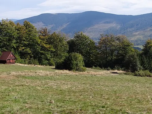 Rysianka Mountain, Węgierska Górka17 km N
-
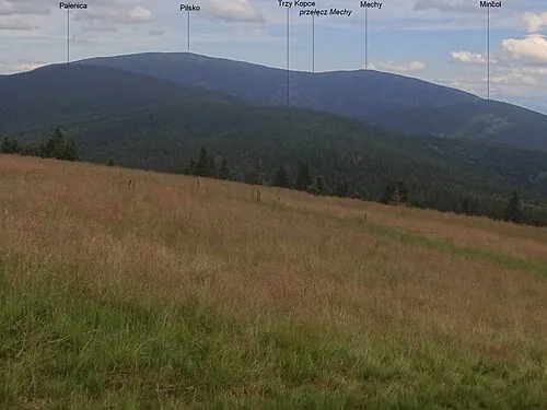 Trzy Kopce Mountain, Poland16 km N
Other cities and towns in Námestovo District
-
 Námestovo City, Námestovo District14 km E
-
 Rabča Town, Námestovo District17 km NE
-
Oravská Jasenica Municipality, Námestovo District9.8 km E
Sources & licences
Data last updated: · 2 independent sources