- Population
- 69
- 69
- Elevation
- 1,415 m
- above sea level
- Local time
- UTC+01:00
- Europe/Ljubljana · UTC+01:00
- Airports
- LJU Ljubljana Jože Pučnik Airport17 km
- KLU Klagenfurt Airport47 km
About Žaga
Žaga is a village. Location: Municipality of Kamnik, Slovenia. Population: 69. Elevation: 1,415 m.
Žaga (pronounced [ˈʒaːɡa]) is a dispersed settlement that extends from the valley leading up to the Črnivec Pass up to the Big Pasture Plateau (Slovene: Velika planina) in the Municipality of Kamnik in the Upper Carniola region of Slovenia.
Source: Wikipedia · CC BY-SA 4.0
At a glance
- Area
- 7 km²
Source: Wikidata
Climate of Žaga
Best months for sightseeingBest months for sightseeing: July–August.
This month · November
A wet month
Day 2° · Night -6° · Rain 176 mm
- Hottest month
- July (day 18°)
- Coldest month
- January (night -11°)
- Wettest month
- June (182 mm)
- Driest month
- February (83 mm)
Bars: average monthly low and high temperature. Below: precipitation. Monthly averages for 1970–2000 at about 18 km resolution, adjusted for elevation. Highlighted months are mild and relatively dry. Source: WorldClim 2.1 (CC BY 4.0).
Show values as a table
| Month | Jan | Feb | Mar | Apr | May | Jun | Jul | Aug | Sep | Oct | Nov | Dec |
|---|---|---|---|---|---|---|---|---|---|---|---|---|
| Average high (°C) | -3° | -1° | 3° | 7° | 13° | 16° | 18° | 18° | 14° | 8° | 2° | -3° |
| Average low (°C) | -11° | -10° | -7° | -3° | 1° | 5° | 6° | 6° | 3° | -1° | -6° | -10° |
| Precipitation (mm) | 90 | 83 | 113 | 137 | 141 | 182 | 152 | 146 | 150 | 174 | 176 | 125 |
How to get to Žaga
The nearest airport is Ljubljana Jože Pučnik Airport (LJU), 17 km to the southwest as the crow flies. The nearest large city is Ljubljana, 29 km to the southwest.
Airports
- Ljubljana Jože Pučnik Airport (LJU) Zgornji Brnik 17 kmsouthwest
- Klagenfurt Airport (KLU) Klagenfurt am Wörthersee 47 kmnorthwest
- Maribor Edvard Rusjan Airport (MBX) Maribor 82 kmeast
Nearby large cities
- Ljubljana Population: 272.2K 29 kmsouthwest
- Klagenfurt Population: 100.3K 47 kmnorthwest
- Graz Population: 303.3K 105 kmnortheast
- Rijeka Population: 108K 108 kmsouth
- Zagreb Population: 663.6K 114 kmsoutheast
Straight-line distances; road distances are longer. Airport data: OurAirports.
Day trips from Žaga
Within 100 km: 150 historic and cultural sites, 708 natural sites, 288 lakes, rivers and coasts.
0–25 km87 places
- Šmarna gora Mountain 23 kmSW
- Mrzla Gora Mountain 11 kmNW
- Grintavec Mountain 13 kmNW
- Rača River 15 kmS
25–60 km317 places
- Ribnica Lake Lake 52 kmNE
- Lake Bled Lake 45 kmW
- Porezen Mountain 55 kmW
- Mala Gora Mountain 58 kmS
60–100 km742 places
- Raša River 80 kmSW
- Lake Bohinj Lake 62 kmW
- Triglav Mountain 65 kmW
- Veliki Snežnik Mountain 80 kmS
Straight-line distances.
Nearby attractions & nature
Everything nearby-
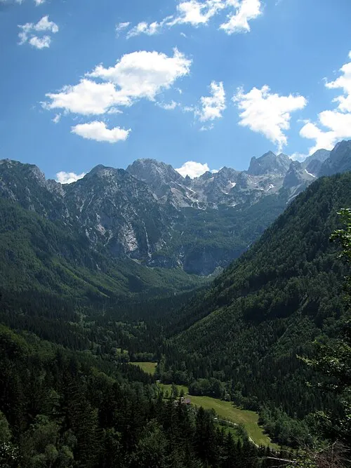 Vellacher Kotschna Natural site, Carinthia13 km NW
-
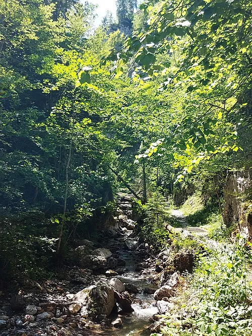 Kupitzklamm Natural site, Carinthia20 km N
-
Mrzla Gora Mountain, Eisenkappel-Vellach12 km NW
-
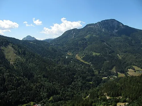 Kärntner Storschitz Mountain, Eisenkappel-Vellach20 km NW
-
Savinjske Alpe Mountain, Austria13 km NW
-
Krnitza Mountain, Eisenkappel-Vellach13 km NW
Sources & licences
Data last updated: · 2 independent sources