Dražgoše
Located in Municipality of Železniki, Slovenia Coordinates: 46°15′49″ N 14°08′58″ E
- Population
- 332
- 332
- Elevation
- 1,038 m
- above sea level
- Local time
- UTC+01:00
- Europe/Ljubljana · UTC+01:00
- Airports
- LJU Ljubljana Jože Pučnik Airport24 km
- KLU Klagenfurt Airport45 km
About Dražgoše
Dražgoše is a village. Location: Municipality of Železniki, Slovenia. Population: 332. Elevation: 1,038 m.
Dražgoše (pronounced [ˈdɾaːʒɡɔʃɛ]; German: Draschgosche) is a village in the Municipality of Železniki in the Upper Carniola region of Slovenia. The village lies on the southern slopes of the Jelovica Plateau. The settlement consists of three hamlets: Pri Cerkvi, Na Pečeh, and Jelenšče. In January 2026, the population was 308.
Source: Wikipedia · CC BY-SA 4.0
Climate of Dražgoše
Best months for sightseeingBest months for sightseeing: July–August.
This month · November
A wet month
Day 5° · Night -2° · Rain 211 mm
- Hottest month
- August (day 20°)
- Coldest month
- January (night -7°)
- Wettest month
- November (211 mm)
- Driest month
- February (98 mm)
Bars: average monthly low and high temperature. Below: precipitation. Monthly averages for 1970–2000 at about 18 km resolution, adjusted for elevation. Highlighted months are mild and relatively dry. Source: WorldClim 2.1 (CC BY 4.0).
Show values as a table
| Month | Jan | Feb | Mar | Apr | May | Jun | Jul | Aug | Sep | Oct | Nov | Dec |
|---|---|---|---|---|---|---|---|---|---|---|---|---|
| Average high (°C) | 0° | 2° | 5° | 9° | 14° | 18° | 20° | 20° | 16° | 12° | 5° | 1° |
| Average low (°C) | -7° | -6° | -4° | 0° | 4° | 8° | 10° | 10° | 7° | 3° | -2° | -6° |
| Precipitation (mm) | 118 | 98 | 132 | 171 | 164 | 190 | 158 | 151 | 179 | 200 | 211 | 157 |
How to get to Dražgoše
The nearest airport is Ljubljana Jože Pučnik Airport (LJU), 24 km to the east as the crow flies. The nearest large city is Ljubljana, 36 km to the southeast.
Airports
- Ljubljana Jože Pučnik Airport (LJU) Zgornji Brnik 24 kmeast
- Klagenfurt Airport (KLU) Klagenfurt am Wörthersee 45 kmnorth
- Trieste Airport (TRS) Ronchi dei Legionari/Trieste 72 kmsouthwest
Nearby large cities
- Ljubljana Population: 272.2K 36 kmsoutheast
- Klagenfurt Population: 100.3K 42 kmnorth
- Rijeka Population: 108K 107 kmsouth
- Graz Population: 303.3K 133 kmnortheast
- Zagreb Population: 663.6K 150 kmeast
Straight-line distances; road distances are longer. Airport data: OurAirports.
Day trips from Dražgoše
Within 100 km: 141 historic and cultural sites, 902 natural sites, 293 lakes, rivers and coasts.
0–25 km56 places
- Lake Bohinj Lake 22 kmW
- Lake Bled Lake 12 kmN
- Porezen Mountain 17 kmSW
- Jelovica Mountain 4 kmN
25–60 km459 places
- Raša River 54 kmS
- Triglav Mountain 27 kmNW
- Šmarna gora Mountain 28 kmSE
- Rjavina Mountain 25 kmNW
60–100 km821 places
- Ribnica Lake Lake 90 kmE
- Markovec Mountain 88 kmSW
- Veliki Snežnik Mountain 80 kmS
- Mala Gora Mountain 72 kmSE
Straight-line distances.
Nearby attractions & nature
Everything nearby-
Jelovica Mountain, Municipality of Radovljica4.2 km N
-
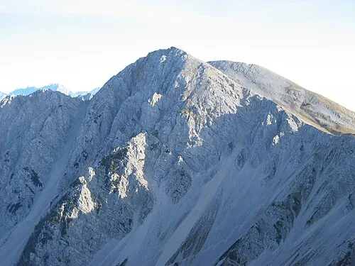 Hochstuhl Mountain, Municipality of Žirovnica19 km N
-
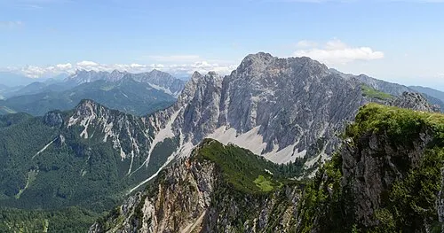 Wertatscha Mountain, Austria20 km N
-
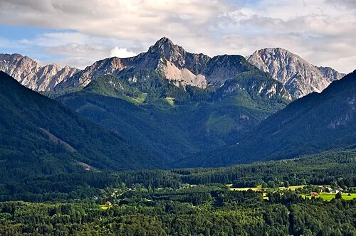 Kosiak Mountain, Feistritz im Rosental21 km N
-
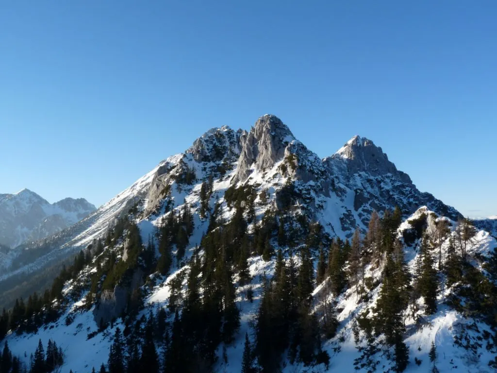 Selenitza Mountain, Austria18 km N
-
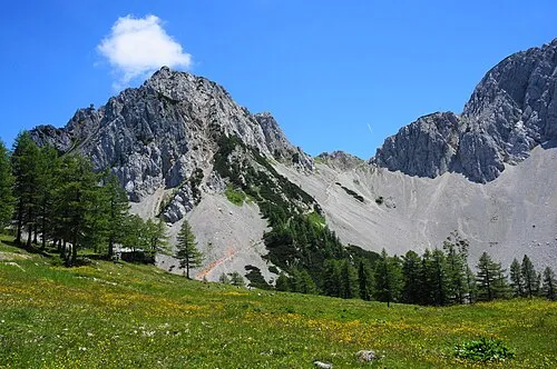 Bielschitza Mountain, Feistritz im Rosental20 km N
Sources & licences
Data last updated: · 2 independent sources