Playa de la Puntilla
Located in Puerto de Santa María, El, Cadiz Coordinates: 36°35′00″ N 6°14′00″ W
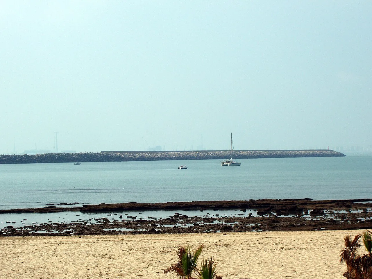
- Elevation
- 4 m
- above sea level
- Local time
- UTC+01:00
- Europe/Madrid · UTC+01:00
- Airports
- XRY Jerez Airport24 km
- GIB Gibraltar Airport93 km
About Playa de la Puntilla
Playa de la Puntilla is a beach. Location: Puerto de Santa María, El, Cadiz. The best months to visit are April–June, October. The nearest airport is Jerez Airport (24 km). Nearby sights include Playa de Valdegrana and Río Guadalete.
Photos of Playa de la Puntilla
-

Emilio J. Rodríguez Posada · CC BY-SA 2.0 -

Emilio J. Rodríguez Posada · CC BY-SA 2.0 -

Menesteo · CC BY-SA 4.0 -
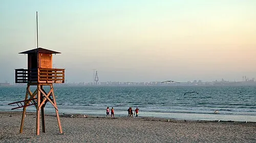
Playa de Valdegrana Emilio J. Rodríguez Posada · CC BY-SA 2.0 -
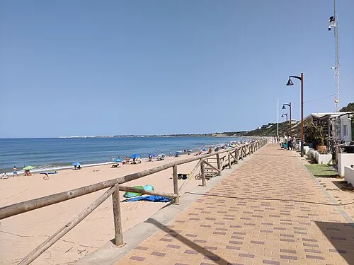
Playa de Santa Catalina El Pantera · CC BY-SA 4.0


Climate of Playa de la Puntilla
Best months for sightseeingBest months for sightseeing: April–June, October.
This month · November
Outside the best season
Day 20° · Night 11° · Rain 85 mm
Better nearby cities in November
- Dos Hermanas · 83 km north20°
- Seville · 92 km north20°
- Málaga · 162 km east20°
- Hottest month
- July (day 30°)
- Coldest month
- January (night 8°)
- Wettest month
- December (97 mm)
- Driest month
- July (1 mm)
Bars: average monthly low and high temperature. Below: precipitation. Monthly averages for 1970–2000 at about 18 km resolution, adjusted for elevation. Highlighted months are mild and relatively dry. Source: WorldClim 2.1 (CC BY 4.0).
Show values as a table
| Month | Jan | Feb | Mar | Apr | May | Jun | Jul | Aug | Sep | Oct | Nov | Dec |
|---|---|---|---|---|---|---|---|---|---|---|---|---|
| Average high (°C) | 16° | 17° | 19° | 21° | 23° | 27° | 30° | 30° | 28° | 24° | 20° | 17° |
| Average low (°C) | 8° | 9° | 10° | 11° | 14° | 17° | 20° | 20° | 19° | 15° | 11° | 9° |
| Precipitation (mm) | 83 | 61 | 43 | 48 | 32 | 14 | 1 | 4 | 16 | 62 | 85 | 97 |
Other places to visit in this season: April May June October
How to get to Playa de la Puntilla
The nearest airport is Jerez Airport (XRY), 24 km to the northeast as the crow flies. For international flights: Gibraltar Airport (GIB) (93 km). The nearest large city is Cadiz, 8 km to the southwest.
Airports
- Jerez Airport (XRY) Jerez de la Frontera 24 kmnortheast
- Gibraltar Airport (GIB) Gibraltar 93 kmsoutheast
- Seville Airport (SVQ) Seville 97 kmnorth
Nearby large cities
- Cadiz Population: 117K 8 kmsouthwest
- Jerez de la Frontera Population: 212.9K 14 kmnortheast
- Dos Hermanas Population: 122.9K 82 kmnorth
- Algeciras Population: 121.4K 86 kmsoutheast
- Seville Population: 686.7K 92 kmnorth
Straight-line distances; road distances are longer. Airport data: OurAirports.
Day trips from Playa de la Puntilla
Within 100 km: 401 historic and cultural sites, 174 natural sites, 373 lakes, rivers and coasts.
0–25 km174 places
- Playa de la Victoria Beach 10 kmSW
- Playa de Levante Beach 3 kmS
- Caleta Beach Beach 9 kmSW
- Playa de las Tres Piedras Beach 22 kmNW
25–60 km167 places
- Playa de Zahora Beach 46 kmS
- Playa de Castilla Beach 60 kmNW
- Playa de las Canteras Beach 25 kmNW
- Playa del Bajo Beach 26 kmNW
60–100 km607 places
- Kasbah Mosque Attraction 96 kmSE
- Grand Mosque of Tangier Attraction 96 kmSE
- Baie De Tanger Natural site 97 kmSE
- Cape Espartel Natural site 92 kmS
Straight-line distances.
Nearest towns and villages
-
El Puerto de Santa María Town, Puerto de Santa María, El1.2 km N
-
Santa Isabel Neighbourhood, Puerto de Santa María, El3 km W
-
 Puerto Real Municipality, Cadiz9.6 km SE
-
Vista Hermosa Village, Puerto de Santa María, El3.1 km W
-
Puerto Real Town, Puerto Real7.2 km SE
-
Cadiz City, Cadiz8 km SW
Nearby attractions & nature
Everything nearby-
Playa de Valdegrana Beach, Puerto Real1.1 km SE
-
Río Guadalete River, Puerto Real0.6 km NE
-
Dunas de San Antón Natural site, Puerto de Santa María, El0.9 km NW
-
Playa Las Dunas S Antón Beach, Cadiz0.6 km W
-
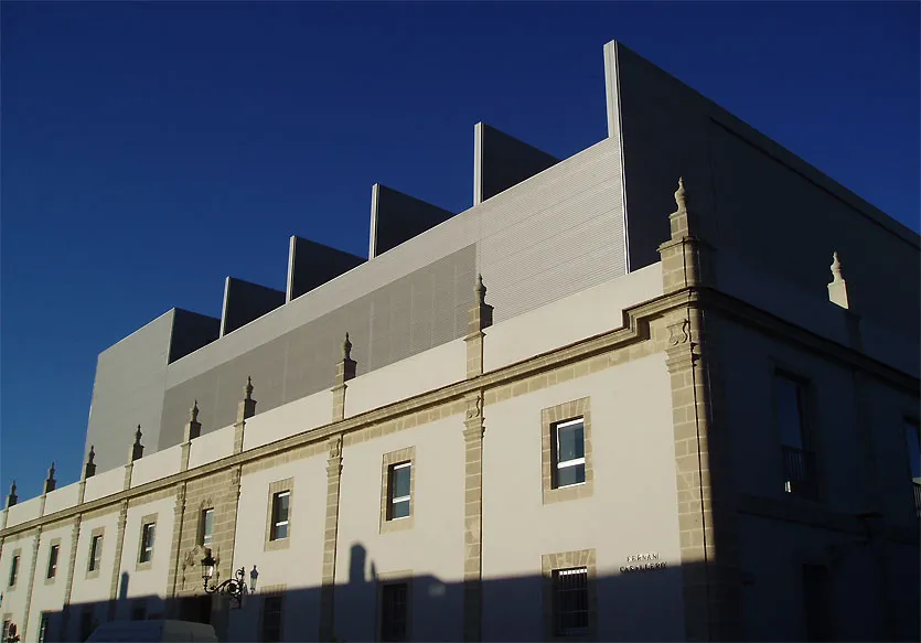 Pedro Muñoz Seca Municipal Theater Attraction, Puerto de Santa María, El1.4 km N
-
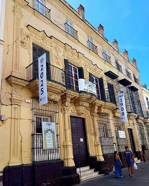 Museo Arqueológico Municipal de El Puerto de Santa María Museum, Puerto de Santa María, El1.8 km N
-
Ensenada del Aculadero Natural site, Puerto Real1.4 km W
-
Puerto de Santa Maria Mediumwave Transmitter Landmark, Puerto de Santa María, El0.8 km NE
More lakes, rivers and coasts in Spain
-
Playa de Santa Catalina Beach, Puerto de Santa María, El4.1 km NW
-
Playa de Levante Beach, Puerto de Santa María, El3.5 km S
-
Playa El Ancla Beach, Puerto de Santa María, El4.6 km NW
-
Playa de Fuentebravía Beach, Puerto de Santa María, El5.6 km NW
Sources & licences
Data last updated: · 2 independent sources