Alpandeire
Located in Malaga, Andalusia Coordinates: 36°38′47″ N 5°13′24″ W
- Population
- 274
- 274
- Elevation
- 635 m
- above sea level
- Local time
- UTC+01:00
- Europe/Madrid · UTC+01:00
- Places inside
- 3
- listed under Alpandeire
About Alpandeire
Alpandeire is a municipality. Location: Malaga, Andalusia. Population: 274. Elevation: 635 m.
Alpandeire is a Spanish municipality and village located in the Ronda area, near the peak of Jarestepar, (1,421 metres high), and surrounded by rugged scenery. A number of streams run through its territory. The municipality belongs to Málaga province, in the autonomous community of Andalusia.
Read more on Wikipedia Text: Wikipedia contributors · CC BY-SA 4.0 · shortened
At a glance
- Area
- 31.3 km²
Source: Wikidata
In comparison
- No. 95 of 101 places in Malaga by population
- Nearest larger town: Alpandeire, 2 km SE
- 9 sights and natural places within 10 km Arroyo de Audaza, Alto del Conio
- Listed here: River: 2, Village: 1
Places in Alpandeire
3 places-
Alpandeire Village285
-
Arroyo de Audaza River
-
Arroyo Guadarín River
Nearby attractions & nature
Everything nearby-
Alto del Conio Mountain, Jimera de Líbar2.7 km NW
-
Cerro Bernal Mountain, Jimera de Líbar5.3 km W
-
Cerro de la Rosa Mountain, Faraján5.4 km S
-
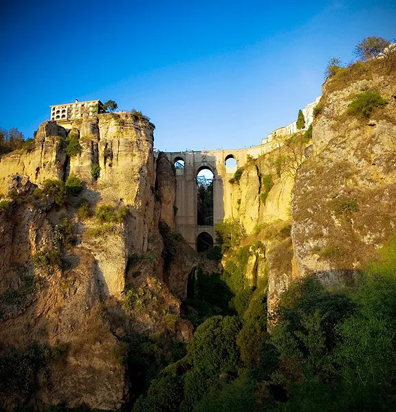 Puente Nuevo Landmark, Ronda12 km NE
-
Sierra del Palo Mountain, Benaoján7.7 km NW
-
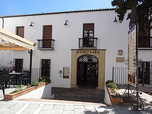 Museo Lara Museum, Ronda12 km NE
-
Río Seco River, Júzcar7.3 km E
-
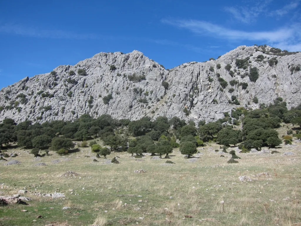 Sierra de Libar Mountain, Villaluenga del Rosario13 km W
Sources & licences
Data last updated: · 2 independent sources