Ronda
Located in Malaga, Andalusia Coordinates: 36°44′42″ N 5°10′12″ W
- Population
- 36,698
- 36.7K
- Elevation
- 727 m
- above sea level
- Local time
- UTC+01:00
- Europe/Madrid · UTC+01:00
- Places inside
- 40
- listed under Ronda
About Ronda
Ronda is a municipality. Location: Malaga, Andalusia. Population: 36,698. Elevation: 727 m.
Ronda (Spanish pronunciation: [ˈronda]) is a municipality of Spain belonging to the province of Málaga, within the autonomous community of Andalusia. Ronda sits on the Ronda Depression, a Miocene plateau at around 600–800 metres above mean sea level with fertile land suitable for growing the Mediterranean triad of wheat, olive and vines. The city is cut off by a deep gorge ('el Tajo'), carrying the Guadalevín river.
Read more on Wikipedia Text: Wikipedia contributors · CC BY-SA 4.0 · shortened
At a glance
- Area
- 385 km²
Source: Wikidata
In comparison
- No. 12 of 101 places in Malaga by population
- Nearest larger town: Ronda, 0 km SE
- 26 sights and natural places within 10 km Church of Our Lady of Mercy Round, Ronda Bullring
- Listed here: River: 11, Mountain: 7, Museum: 5, Attraction: 4
Places in Ronda
40 places-
Ronda Town36.8K
-
Setenil de las Bodegas Village3K
-
Arroyo de Hidalgo River
-
Arroyo de la Sijuela River
-
Arroyo de las Palomeras River
-
Arroyo de la Toma River
-
Arroyo de la Ventilla River
-
Arroyo del Burgo River
-
Arroyo del Moral River
-
Arroyo Toriles River
-
Baños árabes Museum
-
Bodega Cortijo los Aguilares Natural site
-
Casa del Rey Moro Historic site
-
Church of Our Lady of Mercy Round Attraction
-
El Tajo Gorge Natural site
-
Felipe V Arch Landmark
-
Frontones Village
-
Jardines de Cuenca Natural site
-
La Cimada Village
-
La Mina Historic site
-
Mondragon Palace Museum
-
Murallas del Carmen Museum
-
Museo del Bandolero-Ronda Museum
-
Museo Lara Museum
-
Nuestra Señora del Socorro Attraction
-
Parroquia Santa María la Mayor Attraction
-
Puente Nuevo Landmark
-
Puerta de Almocábar Landmark
-
Río de las Cuevas River
-
Río Grande River
-
Río Guadalcopacin River
-
Ronda Bullring Attraction
-
Ruinas de Acinipo Historic site
-
Serranía de Ronda Mountain
-
Sierra Blanquilla Mountain
-
Sierra de la Sanguijuela Mountain
-
Sierra de Las Cumbres Mountain
-
Sierra de las Nieves Mountain
-
Sierra de los Merinos Mountain
-
Sierra de Tolox Mountain
Nearby attractions & nature
Everything nearby-
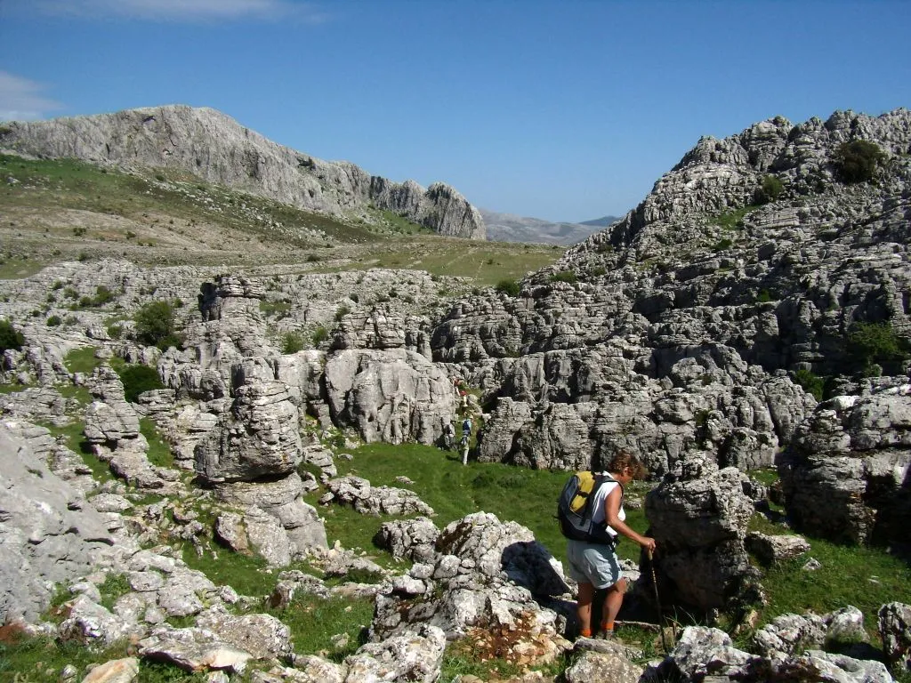 Sierra del Oreganal Mountain, Parauta8.6 km SE
-
Río Gaduares River, Spain6 km W
-
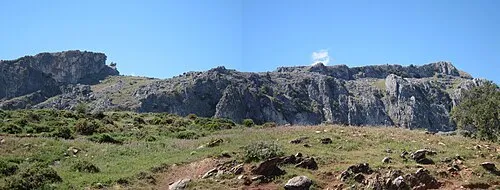 Peñón de Ronda Mountain, Burgo, El15 km E
-
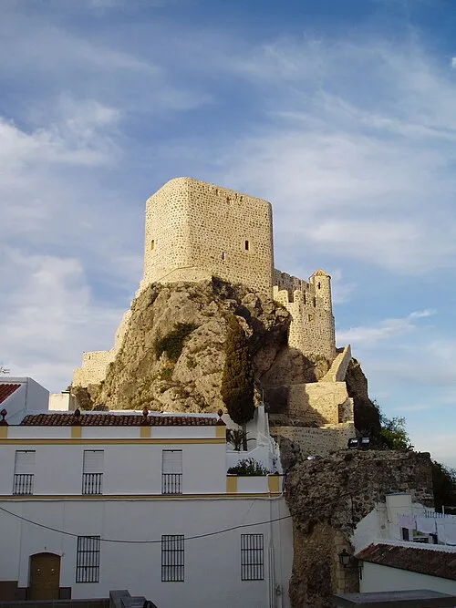 Castillo de Olvera Historic site, Olvera23 km N
-
Alto del Conio Mountain, Jimera de Líbar11 km SW
-
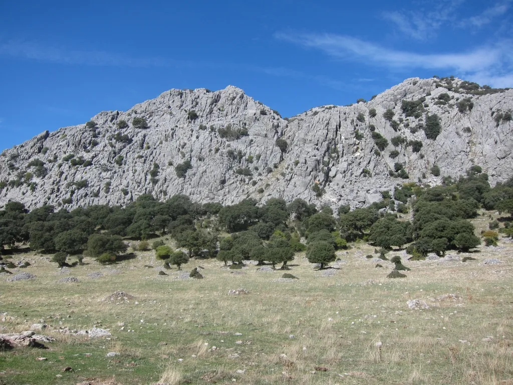 Sierra de Libar Mountain, Villaluenga del Rosario20 km SW
-
Sierra de Mollina Mountain, Alcalá del Valle19 km N
-
Monte Prieto Mountain, Grazalema18 km W
Sources & licences
Data last updated: · 2 independent sources