Cortes de la Frontera
Located in Malaga, Andalusia Coordinates: 36°34′10″ N 5°25′54″ W
- Population
- 3,540
- 3.5K
- Elevation
- 890 m
- above sea level
- Local time
- UTC+01:00
- Europe/Madrid · UTC+01:00
- Places inside
- 4
- listed under Cortes de la Frontera
About Cortes de la Frontera
Cortes de la Frontera is a municipality. Location: Malaga, Andalusia. Population: 3,540. Elevation: 890 m.
Cortes de la Frontera is a town and municipality in the province of Málaga, part of the autonomous community of Andalusia in southern Spain. The municipality, stretching on a south-west/north-east axis, is situated approximately 40 km from Ronda, 20 km from Benaoján and 159 km from the provincial capital. The village stands just short of 5 km outside the north-east limit of the Los Alcornocales Natural Park, and most of the municipality's territory is in that park.
Read more on Wikipedia Text: Wikipedia contributors · CC BY-SA 4.0 · shortened
At a glance
- Area
- 176 km²
Source: Wikidata
In comparison
- No. 39 of 101 places in Malaga by population
- Nearest larger town: Cortes de la Frontera, 10 km NE
- 10 sights and natural places within 10 km Garganta de la Pulga, Cerro de la Fantasía
- Listed here: Village: 2, Mountain: 1, River: 1
Places in Cortes de la Frontera
4 places-
Cortes de la Frontera Village3.6K
-
El Colmenar Village
-
Garganta de la Pulga River
-
Sierra de los Pinos Mountain
Nearby attractions & nature
Everything nearby-
Cerro de la Fantasía Mountain, Jerez de la Frontera5.3 km W
-
Cerro del Javato Mountain, Jerez de la Frontera6.3 km W
-
Cerro Maravillas Mountain, Jimena de la Frontera6.4 km SE
-
Arroyo de las Carboneras River, Gaucín6.5 km SE
-
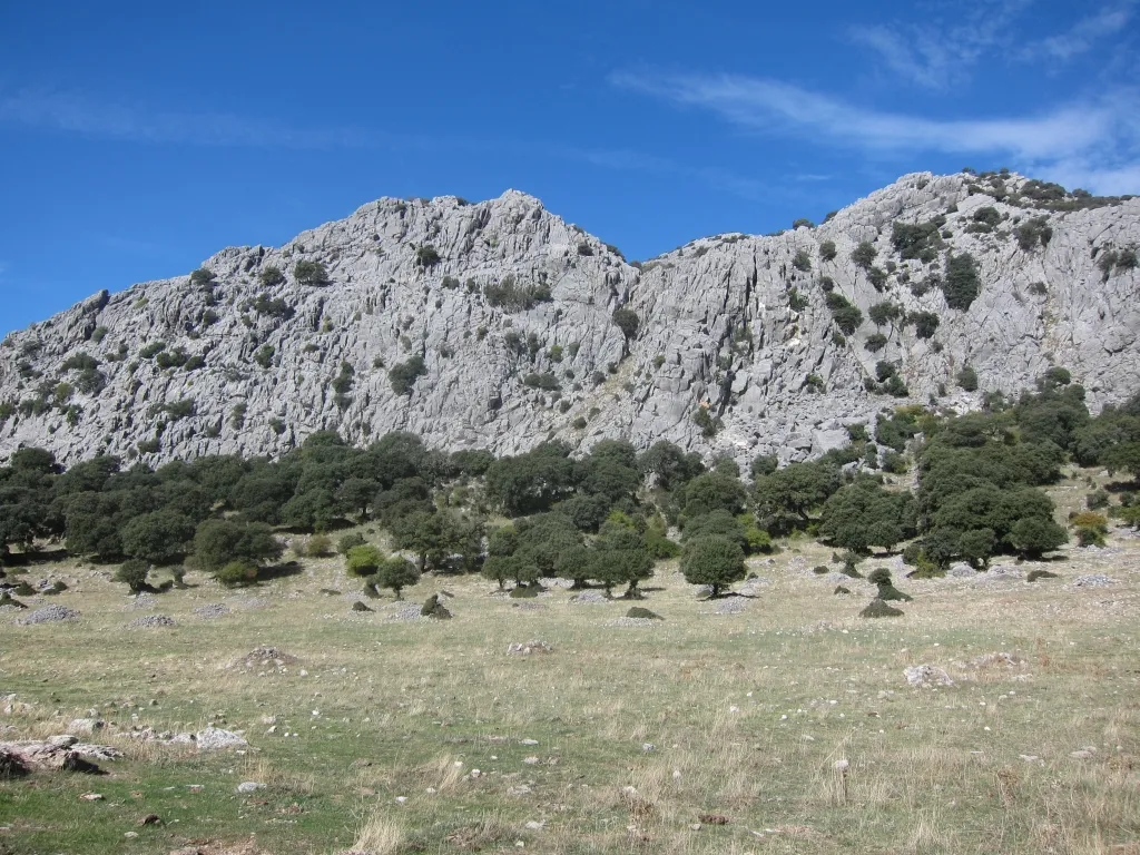 Sierra de Libar Mountain, Villaluenga del Rosario11 km NE
-
Cerro del Algarrobal Mountain, Ubrique10 km N
-
Arroyo de Pasada Blanca River, Jerez de la Frontera7.5 km W
-
Sierra de Ubrique Mountain, Ubrique9.2 km N
Sources & licences
Data last updated: · 2 independent sources