- Population
- 28,390
- 28.4K
- Elevation
- 296 m
- above sea level
- Local time
- UTC+01:00
- Europe/Madrid · UTC+01:00
- Places inside
- 16
- listed under Morón de la Frontera
- Airports
- SVQ Seville Airport55 km
- XRY Jerez Airport70 km
About Morón de la Frontera
Morón de la Frontera is a municipality. Location: Seville, Andalusia. Population: 28,390. Elevation: 296 m. The best months to visit are April–May, October. The nearest airport is Seville Airport (55 km). Nearby sights include Castillo de Olvera and Sierra del Tablón.
Climate of Morón de la Frontera
Best months for sightseeingBest months for sightseeing: April–May, October.
This month · November
Outside the best season
Day 18° · Night 9° · Rain 95 mm
Better nearby cities in November
- Dos Hermanas · 50 km northwest20°
- Seville · 59 km northwest20°
- Málaga · 98 km southeast20°
- Hottest month
- July (day 32°)
- Coldest month
- January (night 5°)
- Wettest month
- December (107 mm)
- Driest month
- July (1 mm)
Bars: average monthly low and high temperature. Below: precipitation. Monthly averages for 1970–2000 at about 18 km resolution, adjusted for elevation. Highlighted months are mild and relatively dry. Source: WorldClim 2.1 (CC BY 4.0).
Show values as a table
| Month | Jan | Feb | Mar | Apr | May | Jun | Jul | Aug | Sep | Oct | Nov | Dec |
|---|---|---|---|---|---|---|---|---|---|---|---|---|
| Average high (°C) | 14° | 16° | 18° | 20° | 23° | 28° | 32° | 32° | 29° | 23° | 18° | 15° |
| Average low (°C) | 5° | 6° | 7° | 9° | 11° | 14° | 17° | 17° | 16° | 12° | 9° | 6° |
| Precipitation (mm) | 88 | 74 | 63 | 51 | 40 | 14 | 1 | 2 | 19 | 75 | 95 | 107 |
How to get to Morón de la Frontera
The nearest airport is Seville Airport (SVQ), 55 km to the northwest as the crow flies. The nearest large city is Dos Hermanas, 50 km to the northwest.
Airports
- Seville Airport (SVQ) Seville 55 kmnorthwest
- Jerez Airport (XRY) Jerez de la Frontera 70 kmsouthwest
- Málaga-Costa del Sol Airport (AGP) Málaga 94 kmsoutheast
Nearby large cities
- Dos Hermanas Population: 122.9K 50 kmnorthwest
- Seville Population: 686.7K 59 kmnorthwest
- Jerez de la Frontera Population: 212.9K 80 kmsouthwest
- Marbella Population: 156.3K 80 kmsoutheast
- Málaga Population: 592.3K 98 kmsoutheast
Straight-line distances; road distances are longer. Airport data: OurAirports.
Day trips from Morón de la Frontera
Within 100 km: 522 historic and cultural sites, 238 natural sites, 505 lakes, rivers and coasts.
0–25 km57 places
- Terril Mountain 24 kmSE
- Sierra de la Nava Mountain 23 kmS
- Esparteros Mountain 7 kmW
- Sierra de Algodonales Mountain 23 kmS
25–60 km313 places
- La Isleta Island 60 kmW
- Laguna de Bartolomé Lake 43 kmW
- Laguna Salada Lake 57 kmE
- Laguna Hondilla Lake 47 kmSW
60–100 km895 places
- Playa de Levante Beach 95 kmSW
- Playa de la Caleta Beach 99 kmSE
- Playa del Bajo Beach 91 kmW
- La Cachucha beach Beach 94 kmSW
Straight-line distances.
Places in Morón de la Frontera
16 placesBar: population relative to the most populous place in this list.
Mountains & nature5
- Borujas · Natural site
- El Gallo · Natural site
- Esparteros · Mountain
- Jardines Los Palomitos · Natural site
- San Francisco · Natural site
Lakes, rivers & coasts3
- Arroyo de las Palmas · River
- Arroyo del Brozquez · River
- Río de la Peña · River
Heritage & sights6
- Carrera Garden · Attraction
- Castillo de Morón · Historic site
- Iglesia de San Miguel · Attraction
- Museo Cal de Morón · Museum
- Parroquia San Francisco de Asís de Morón de la Frontera · Attraction
- Plaza de Toros · Attraction
Nearby attractions & nature
Everything nearby-
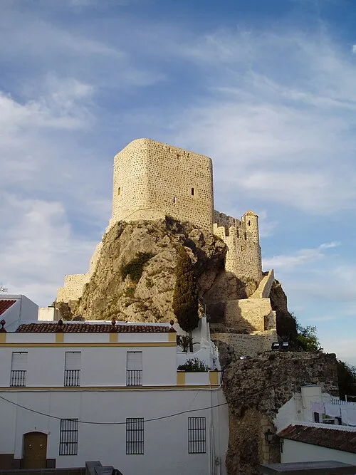 Castillo de Olvera Historic site, Olvera22 km SE
-
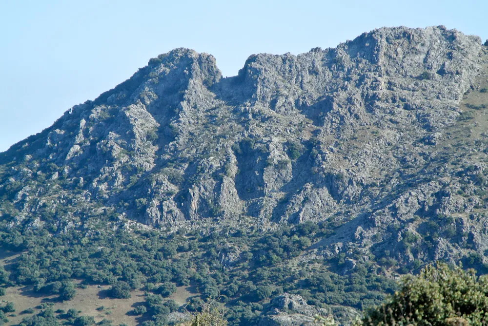 Sierra del Tablón Mountain, Olvera22 km SE
-
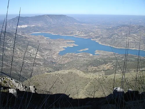 Sierra de Lijar Mountain, Algodonales22 km S
-
Sierra Vaquera Mountain, Puerto Serrano18 km S
-
Sierra de Montellano Mountain, Montellano18 km SW
-
Sierra de las Harinas Mountain, Olvera20 km SE
-
Arroyo de la Amarguilla River, Arahal13 km NW
-
Arroyo del Rozalejo River, Arahal13 km NW
Sources & licences
Data last updated: