- Elevation
- 1 m
- above sea level
- Local time
- UTC+01:00
- Europe/Madrid · UTC+01:00
- Airports
- PMI Palma de Mallorca Airport18 km
- IBZ Ibiza Airport123 km
About Magaluf Beach
Magaluf Beach is a beach. Location: Calvià, Balearic Islands.
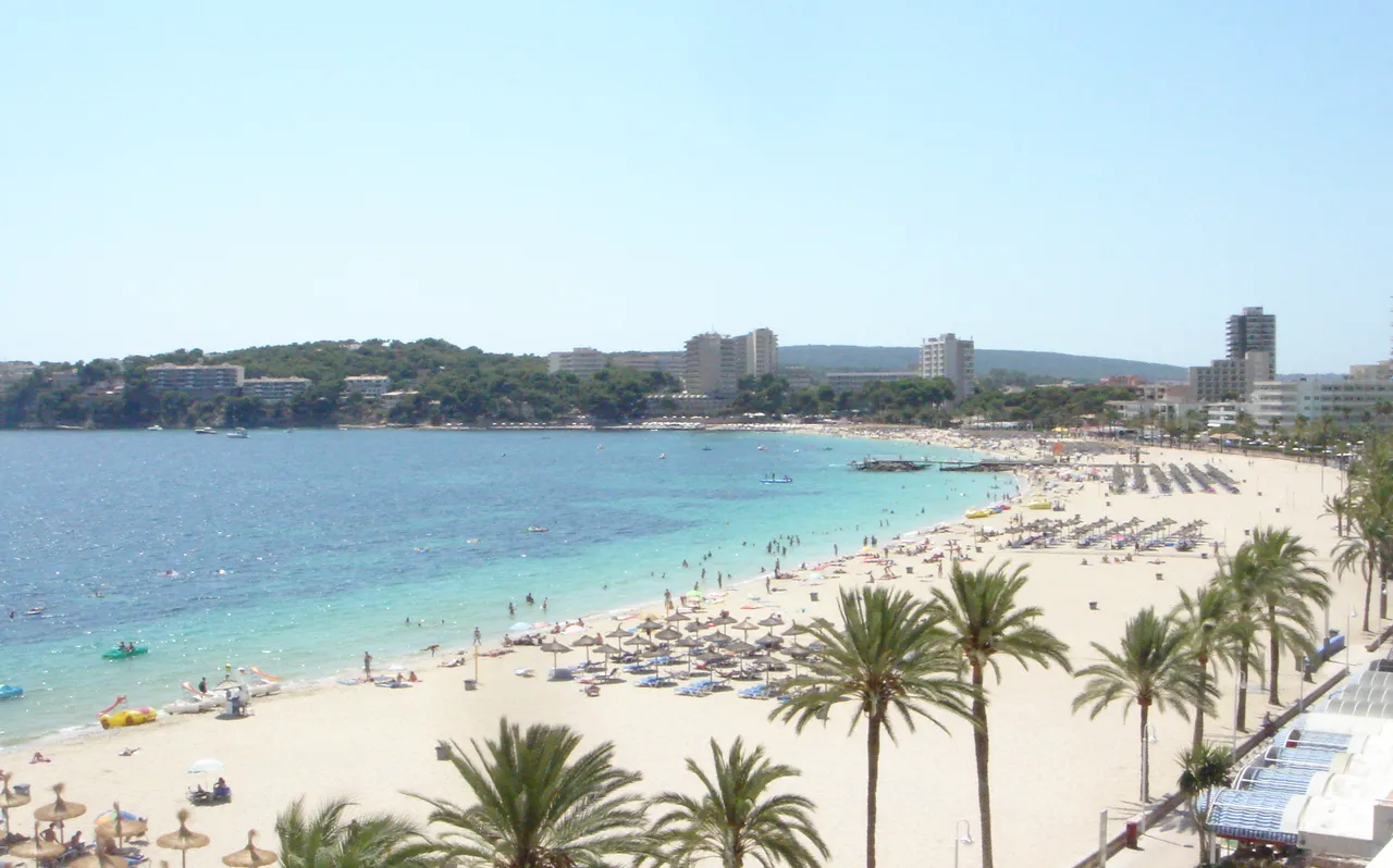
Magaluf Beach (Catalan: Platja de Magaluf, IPA: [ˈpladʒə ðə məɣəˈluf]; Spanish: Playa de Magaluf) is the name of the beach in the tourist resort of Magaluf. Holiday accommodation, nightclubs and other services aimed at mass tourism make up the urban landscape of the beach. It also receives a massive influx of local swimmers. Magaluf beach is one kilometer long and is made of fine white sand.
Source: Wikipedia · CC BY-SA 4.0
At a glance
- Length
- 1 km
Source: Wikidata
Photos of Magaluf Beach
-

Liilia Moroz · CC0 -

Wikimedia Commons · CC BY 2.5 es -

Bryan Ledgard · CC BY 2.0 -

This media file was made by Michiel1972 You may use it using a redistributable license · CC BY-SA 3.0 -

Rafael Ortega Díaz · Public domain


Climate of Magaluf Beach
Best months for sightseeingBest months for sightseeing: May–June, October.
This month · November
Outside the best season
Day 19° · Night 10° · Rain 60 mm
Better nearby cities in November
- Alicante · 291 km southwest20°
- Elche · 313 km southwest20°
- Orihuela · 341 km southwest20°
- Hottest month
- August (day 31°)
- Coldest month
- January (night 6°)
- Wettest month
- October (79 mm)
- Driest month
- July (8 mm)
Bars: average monthly low and high temperature. Below: precipitation. Monthly averages for 1970–2000 at about 18 km resolution, adjusted for elevation. Highlighted months are mild and relatively dry. Source: WorldClim 2.1 (CC BY 4.0).
Show values as a table
| Month | Jan | Feb | Mar | Apr | May | Jun | Jul | Aug | Sep | Oct | Nov | Dec |
|---|---|---|---|---|---|---|---|---|---|---|---|---|
| Average high (°C) | 15° | 16° | 17° | 19° | 23° | 27° | 30° | 31° | 27° | 23° | 19° | 16° |
| Average low (°C) | 6° | 6° | 7° | 9° | 12° | 16° | 19° | 20° | 17° | 14° | 10° | 7° |
| Precipitation (mm) | 49 | 40 | 40 | 45 | 33 | 18 | 8 | 21 | 55 | 79 | 60 | 58 |
How to get to Magaluf Beach
The nearest airport is Palma de Mallorca Airport (PMI), 18 km to the east as the crow flies. The nearest large city is Palma, 12 km to the northeast.
Airports
- Palma de Mallorca Airport (PMI) Palma de Mallorca 18 kmeast
- Ibiza Airport (IBZ) Ibiza (Eivissa) 123 kmsouthwest
- Menorca Airport (MAH) Mahón (Maó) 150 kmeast
Nearby large cities
- Palma Population: 438.2K 12 kmnortheast
- L'Hospitalet de Llobregat Population: 257K 209 kmnorth
- Tarragona Population: 141.5K 210 kmnorthwest
- Barcelona Population: 1.7M 211 kmnorth
- Sant Martí Population: 235.7K 214 kmnorth
Straight-line distances; road distances are longer. Airport data: OurAirports.
Day trips from Magaluf Beach
Within 100 km: 151 historic and cultural sites, 64 natural sites, 141 lakes, rivers and coasts.
0–25 km127 places
- Camp de Mar Beach 11 kmW
- L'Arenal Beach 17 kmE
- Platja dde S'Oratori Beach 4 kmNE
- Playa del Mago Beach 4 kmS
25–60 km141 places
- Majorca Island 42 kmE
- Playa Llombards Beach 56 kmE
- Playa de Cala Pi Beach 30 kmSE
- Playa Es Trenc Covetes Beach 41 kmSE
60–100 km88 places
- Cala Romantica Beach 67 kmE
- Cala Murada Beach 64 kmE
- Cala Antena Beach 64 kmE
- Parroquia Nuestra Señora del Carmen Attraction 69 kmE
Straight-line distances.
Nearest towns and villages
-
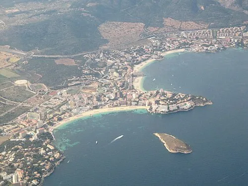 Magaluf Town, Calvià0.4 km N
-
Palmanova Town, Calvià1.9 km N
-
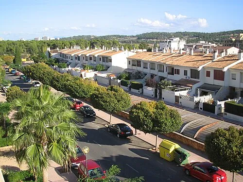 Son Ferrer Town, Calvià3.3 km W
-
Santa Ponsa Town, Calvià5.2 km W
-
 El Toro Village, Calvià5.3 km SW
-
Cala Vinyes Village, Calvià1.8 km S
Nearby attractions & nature
Everything nearby-
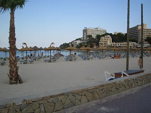 Platja de Son Maties Beach, Calvià0.7 km N
-
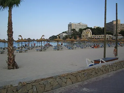 Palmanova beach Beach, Balearic Islands1.3 km N
-
Illa de sa Porrassa Island, Calvià0.8 km SE
-
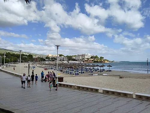 Platja Porto Novo Beach, Calvià1.8 km N
-
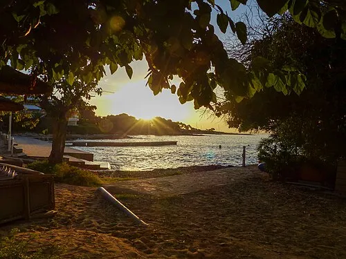 Playa Son Caliu Beach, Balearic Islands1.9 km N
-
Illa del Sec Island, Calvià2.7 km S
-
Platja de S'Hostalet Beach, Calvià3.2 km NE
-
Merendero Natural site, Calvià4 km SW
More lakes, rivers and coasts in Spain
-
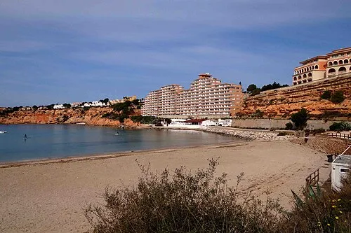 Platja Oarrer Beach, Calvià5.3 km W
-
Illa de la Caleta Island, Calvià5.6 km NE
-
Playa del Mago Beach, Calvià3.9 km S
-
Platja dde S'Oratori Beach, Calvià4.1 km NE
-
Portals Vells Beach Beach, Calvià4.2 km S
-
Playa Santa Ponsa Beach, Calvià5 km W
Sources & licences
Data last updated: · 2 independent sources