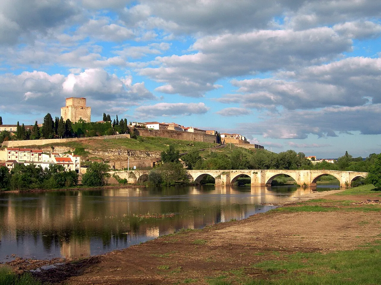
- Population
- 331,473
- 331.5K
- Elevation
- 806 m
- above sea level
- Local time
- UTC+01:00
- Europe/Madrid · UTC+01:00
- Places inside
- 362
- listed under Salamanca
- Airports
- SLM Salamanca Airport44 km
- BGC Bragança Airport128 km
About Salamanca
Salamanca is a district. Location: Castille and León, Spain. Population: 331,473. The best months to visit are May–June, August–September. The nearest airport is Salamanca Airport (44 km).
Climate of Salamanca
Best months for sightseeingBest months for sightseeing: May–June, August–September.
This month · November
Outside the best season
Day 13° · Night 4° · Rain 94 mm
Better nearby cities in November
- Seville · 384 km south20°
- Dos Hermanas · 395 km south20°
- Seville · 383 km south20°
- Hottest month
- July (day 30°)
- Coldest month
- January (night 1°)
- Wettest month
- December (114 mm)
- Driest month
- August (16 mm)
Bars: average monthly low and high temperature. Below: precipitation. Monthly averages for 1970–2000 at about 18 km resolution, adjusted for elevation. Highlighted months are mild and relatively dry. Source: WorldClim 2.1 (CC BY 4.0).
Show values as a table
| Month | Jan | Feb | Mar | Apr | May | Jun | Jul | Aug | Sep | Oct | Nov | Dec |
|---|---|---|---|---|---|---|---|---|---|---|---|---|
| Average high (°C) | 9° | 11° | 14° | 15° | 19° | 25° | 30° | 29° | 25° | 18° | 13° | 10° |
| Average low (°C) | 1° | 2° | 3° | 5° | 8° | 11° | 14° | 14° | 12° | 8° | 4° | 2° |
| Precipitation (mm) | 107 | 92 | 54 | 67 | 73 | 49 | 17 | 16 | 40 | 85 | 94 | 114 |
Other places to visit in this season: May June August September
How to get to Salamanca
The nearest airport is Salamanca Airport (SLM), 44 km to the east as the crow flies. The nearest large city is Salamanca, 32 km to the northeast.
Airports
- Salamanca Airport (SLM) Salamanca 44 kmeast
- Bragança Airport (BGC) Bragança 128 kmnorthwest
- Valladolid Airport (VLL) Valladolid 137 kmnortheast
Nearby large cities
- Salamanca Population: 144.8K 32 kmnortheast
- Valladolid Population: 300.6K 141 kmnortheast
- Móstoles Population: 207.1K 189 kmeast
- Alcorcón Population: 172.4K 192 kmeast
- Fuenlabrada Population: 190.5K 197 kmeast
Straight-line distances; road distances are longer. Airport data: OurAirports.
Day trips from Salamanca
Within 100 km: 95 historic and cultural sites, 81 natural sites, 245 lakes, rivers and coasts.
0–25 km7 places
- Arroyo del Cubo River 18 kmS
- Arroyo de Arganza River 13 kmW
- Río Oblea River 22 kmW
- Arroyo Tumbafrailes River 23 kmW
25–60 km138 places
- Pantano de Águeda Lake 53 kmSW
- Teso Santo Mountain 45 kmN
- Sierra de Peña de Francia Mountain 33 kmS
- La Hastiala Mountain 39 kmSW
60–100 km276 places
- Pantano de Pasarón Lake 93 kmS
- Pantano de Gargüera Lake 96 kmS
- Embalse de Ricobayo Lake 96 kmN
- Embalse de la Maside Lake 62 kmS
Straight-line distances.
Places in Salamanca
362 placesBar: population relative to the most populous place in this list.
Nature and heritage in Salamanca
Sources & licences
Data last updated: