Villapalacios
Located in Albacete, Castille-La Mancha Coordinates: 38°34′44″ N 2°37′46″ W
- Population
- 682
- 682
- Elevation
- 819 m
- above sea level
- Local time
- UTC+01:00
- Europe/Madrid · UTC+01:00
- Places inside
- 6
- listed under Villapalacios
About Villapalacios
Villapalacios is a municipality. Location: Albacete, Castille-La Mancha. Population: 682. Elevation: 819 m.
Villapalacios is a municipality in Albacete, Castile-La Mancha, Spain. It has a population of 553 as of 2023. The hamlet houses the gothic style church of San Sebastián.
Read more on Wikipedia Text: Wikipedia contributors · CC BY-SA 4.0 · shortened
At a glance
- Area
- 87.5 km²
Source: Wikidata
In comparison
- No. 58 of 87 places in Albacete by population
- Nearest larger town: Villapalacios, 1 km SW
- 10 sights and natural places within 10 km Río de la Mesta, Río de Salobre
- Listed here: River: 4, Village: 2
Climate of Villapalacios
Best months for sightseeing: May, October.
| Month | Jan | Feb | Mar | Apr | May | Jun | Jul | Aug | Sep | Oct | Nov | Dec |
|---|---|---|---|---|---|---|---|---|---|---|---|---|
| Average high (°C) | 10° | 12° | 16° | 18° | 23° | 29° | 35° | 34° | 29° | 21° | 15° | 11° |
| Average low (°C) | 0° | 1° | 2° | 5° | 9° | 13° | 17° | 16° | 12° | 8° | 3° | 1° |
| Precipitation (mm) | 47 | 43 | 36 | 53 | 48 | 29 | 10 | 8 | 23 | 52 | 53 | 59 |
Monthly averages for 1970–2000 at about 18 km resolution, adjusted for elevation. Highlighted months are mild and relatively dry. Source: WorldClim 2.1 (CC BY 4.0).
Airports nearest to Villapalacios
- Region of Murcia International Airport (RMU) Corvera 157 km
- Alicante-Elche Miguel Hernández Airport (ALC) Alicante 184 km
- F.G.L. Airport Granada-Jaén Airport (GRX) Granada 184 km
Straight-line distance; airports with scheduled flights only. Source: OurAirports (public domain).
Places in Villapalacios
6 places-
Villapalacios Village770
-
Fuente del Espino Village
-
Río de Angorrilla River
-
Río de la Mesta River
-
Río de Salobre River
-
Río Povedilla River
Nearby attractions & nature
Everything nearby-
Cerro de Carboneras Mountain, Bienservida4.6 km S
-
Cerro Vico Mountain, Bienservida7.1 km S
-
Río del Ojuelo River, Alcaraz6.8 km E
-
Río de las Crucetas River, Alcaraz7.3 km E
-
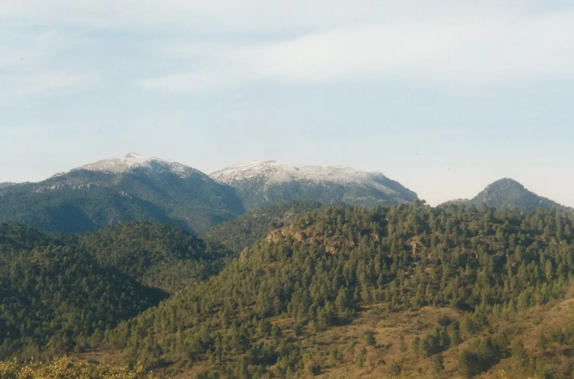 La Sarga Mountain, Villaverde de Guadalimar13 km SE
-
Sierra de Relumbrar Mountain, Villanueva de la Fuente8.9 km NW
-
Río de Villarrodrigo River, Siles8.6 km S
-
Almenaras Mountain, Bogarra16 km E
Sources & licences
Data last updated: · 2 independent sources