Guadamur
Located in Province of Toledo, Castille-La Mancha Coordinates: 39°49′26″ N 4°08′51″ W

- Population
- 1,847
- 1.8K
- Elevation
- 642 m
- above sea level
- Local time
- UTC+01:00
- Europe/Madrid · UTC+01:00
- Places inside
- 4
- listed under Guadamur
- Airports
- MAD Adolfo Suárez Madrid–Barajas Airport89 km
- SLM Salamanca Airport170 km
About Guadamur
Guadamur is a municipality. Location: Province of Toledo, Castille-La Mancha. Population: 1,847. Elevation: 642 m.
Guadamur is a municipality located in the province of Toledo, Castile-La Mancha, Spain. According to the 2008 census (INE), the municipality has a population of 1819 inhabitants. On 4 June 2007 a twinning agreement was signed with the towns of Vouillé (department of Deux-Sèvres, Poitou-Charentes, France) and Tournai (Wallonia region, Belgium), to promote cultural exchanges and develop a cultural tour of Europe, on the occasion of the fifteenth centenary of the Battle of Vouillé.
Source: Wikipedia · CC BY-SA 4.0
At a glance
- Area
- 37 km²
Source: Wikidata
Photos of Guadamur
-

Luis Rogelio HM · CC BY-SA 2.0 -

Pacoooo1122 · CC BY-SA 4.0 -

Pepin42 · CC BY-SA 3.0 -

Pepin42 · Public domain


Places bordering Guadamur
- Toledo
- Casasbuenas
Population of Guadamur over time
| 2014 | 1,846 | |
|---|---|---|
| 2015 | 1,864 | |
| 2016 | 1,833 | |
| 2017 | 1,802 | |
| 2018 | 1,781 | |
| 2019 | 1,792 | |
| 2020 | 1,784 | |
| 2021 | 1,806 | |
| 2022 | 1,774 | |
| 2023 | 1,802 | |
| 2024 | 1,782 | |
| 2025 | 1,796 |
Censuses and official estimates; source: Wikidata.
Climate of Guadamur
Best months for sightseeingBest months for sightseeing: May, October.
This month · November
Outside the best season
Day 15° · Night 5° · Rain 44 mm
Better nearby cities in November
- Seville · 314 km southwest20°
- Dos Hermanas · 322 km southwest20°
- Murcia · 331 km southeast20°
- Hottest month
- July (day 34°)
- Coldest month
- January (night 2°)
- Wettest month
- December (49 mm)
- Driest month
- August (9 mm)
Bars: average monthly low and high temperature. Below: precipitation. Monthly averages for 1970–2000 at about 18 km resolution, adjusted for elevation. Highlighted months are mild and relatively dry. Source: WorldClim 2.1 (CC BY 4.0).
Show values as a table
| Month | Jan | Feb | Mar | Apr | May | Jun | Jul | Aug | Sep | Oct | Nov | Dec |
|---|---|---|---|---|---|---|---|---|---|---|---|---|
| Average high (°C) | 11° | 13° | 17° | 18° | 23° | 29° | 34° | 33° | 28° | 21° | 15° | 11° |
| Average low (°C) | 2° | 3° | 5° | 7° | 10° | 15° | 18° | 18° | 14° | 9° | 5° | 3° |
| Precipitation (mm) | 36 | 32 | 28 | 45 | 47 | 30 | 13 | 9 | 23 | 42 | 44 | 49 |
How to get to Guadamur
The nearest airport is Adolfo Suárez Madrid–Barajas Airport (MAD), 89 km to the northeast as the crow flies. The nearest large city is Parla, 56 km to the northeast.
Airports
- Adolfo Suárez Madrid–Barajas Airport (MAD) Madrid 89 kmnortheast
- Salamanca Airport (SLM) Salamanca 170 kmnorthwest
- Valladolid Airport (VLL) Valladolid 217 kmnorth
Nearby large cities
- Parla Population: 115.6K 56 kmnortheast
- Fuenlabrada Population: 190.5K 59 kmnortheast
- Móstoles Population: 207.1K 60 kmnortheast
- Getafe Population: 187.5K 64 kmnortheast
- Alcorcón Population: 172.4K 64 kmnortheast
Straight-line distances; road distances are longer. Airport data: OurAirports.
Day trips from Guadamur
Within 100 km: 482 historic and cultural sites, 255 natural sites, 240 lakes, rivers and coasts.
0–25 km51 places
- Cerro de Layos Mountain 14 kmSE
- Noez Mountain 10 kmSW
- Río Algodor River 25 kmNE
- Arroyo del Valle River 23 kmW
25–60 km160 places
- Pantano del Torcón Lake 30 kmSW
- Montes de Toledo Mountain 34 kmSW
- Sierra del Chorito Mountain 54 kmSW
- Cerro del Buey Mountain 41 kmE
60–100 km766 places
- Laguna de Valparaíso Lake 95 kmS
- Laguna del Taray Lake 78 kmSE
- Laguna Romani Lake 89 kmS
- Laguna de Michos Lake 98 kmS
Straight-line distances.
Places in Guadamur
4 placesBar: population relative to the most populous place in this list.
Lakes, rivers & coasts2
- Arroyo de Guajaraz · River
- Río Guadarrama · River
Heritage & sights1
- Guadamur Castle · Historic site
Nearby attractions & nature
Everything nearby-
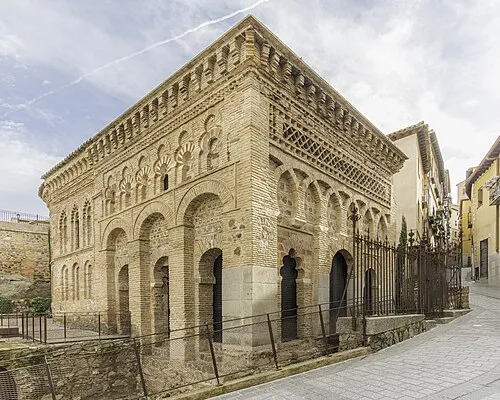 Mosque of Cristo de la Luz Attraction, Toledo11 km E
-
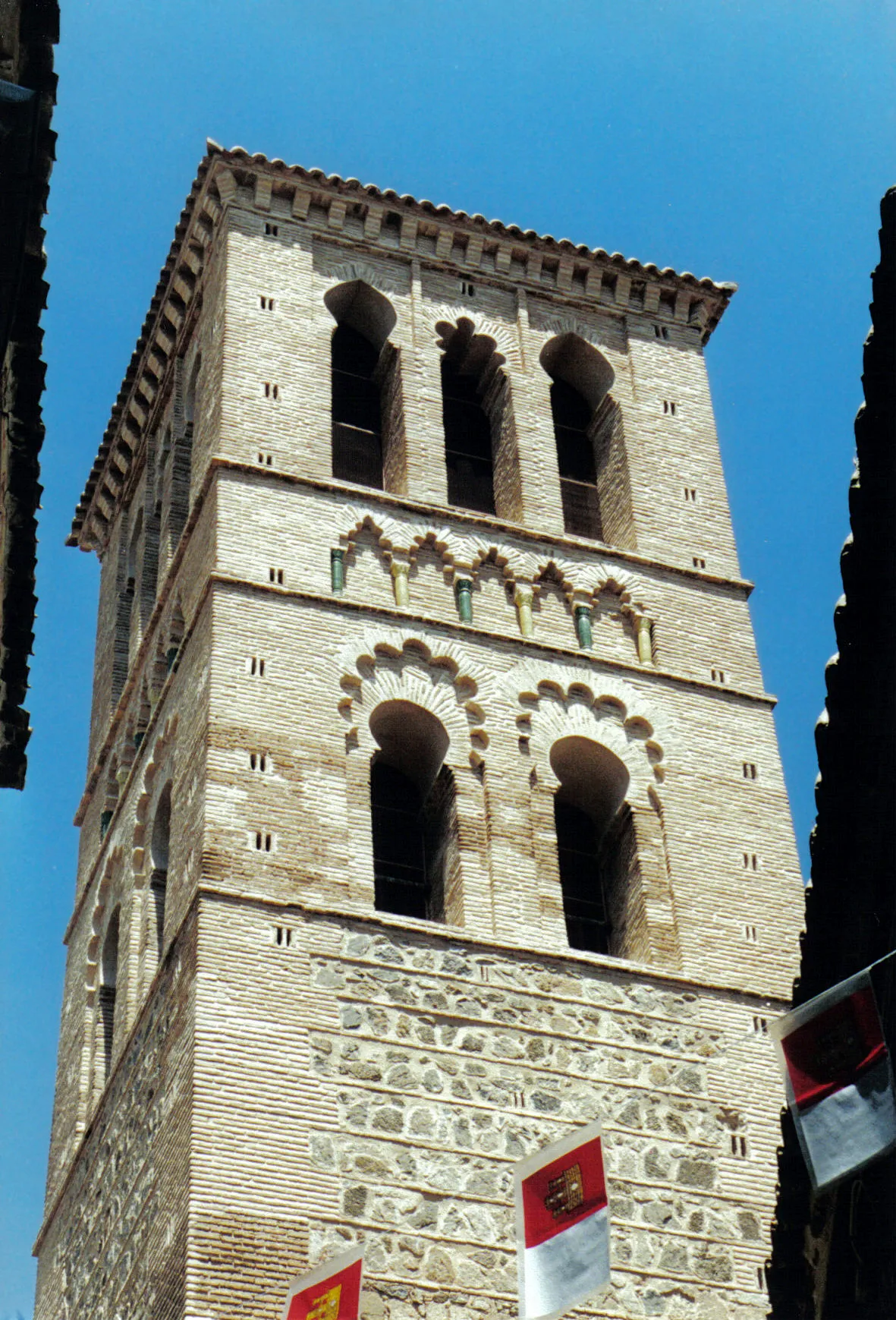 Iglesia de Santo Tomé Attraction, Toledo11 km E
-
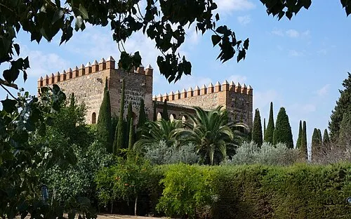 Palacio de Galiana Historic site, Toledo13 km E
-
Arroyo de Barcience River, Polán7.6 km NW
-
San Bernardo Mediumwave Transmitter Landmark, Toledo9.1 km NE
-
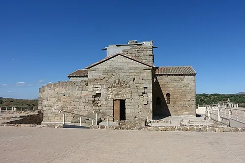 Santa María de Melque Attraction, San Martín de Montalbán21 km SW
-
San Martin's Bridge Historic site, Toledo10 km E
-
Noez Mountain, Noez9.6 km SW
Other cities and towns in Province of Toledo
-
 Cobisa Municipality, Province of Toledo11 km E
-
 Layos Municipality, Province of Toledo9.7 km SE
-
 Burguillos de Toledo Municipality, Province of Toledo14 km E
-
 Bargas Municipality, Province of Toledo17 km NE
-
 Rielves Municipality, Province of Toledo14 km N
-
Albarreal de Tajo Municipality, Province of Toledo9.4 km NW
Sources & licences
Data last updated: · 2 independent sources