- Elevation
- 467 m
- above sea level
- Local time
- UTC+01:00
- Europe/Madrid · UTC+01:00
- Airports
- MAD Adolfo Suárez Madrid–Barajas Airport76 km
- SLM Salamanca Airport176 km
About Azucaica
Azucaica is a village. Location: Toledo, Province of Toledo. Elevation: 467 m. The best months to visit are April–May, October. The nearest airport is Adolfo Suárez Madrid–Barajas Airport (76 km). Nearby sights include Palacio de Galiana and Mosque of Cristo de la Luz.
Photos of Azucaica
-
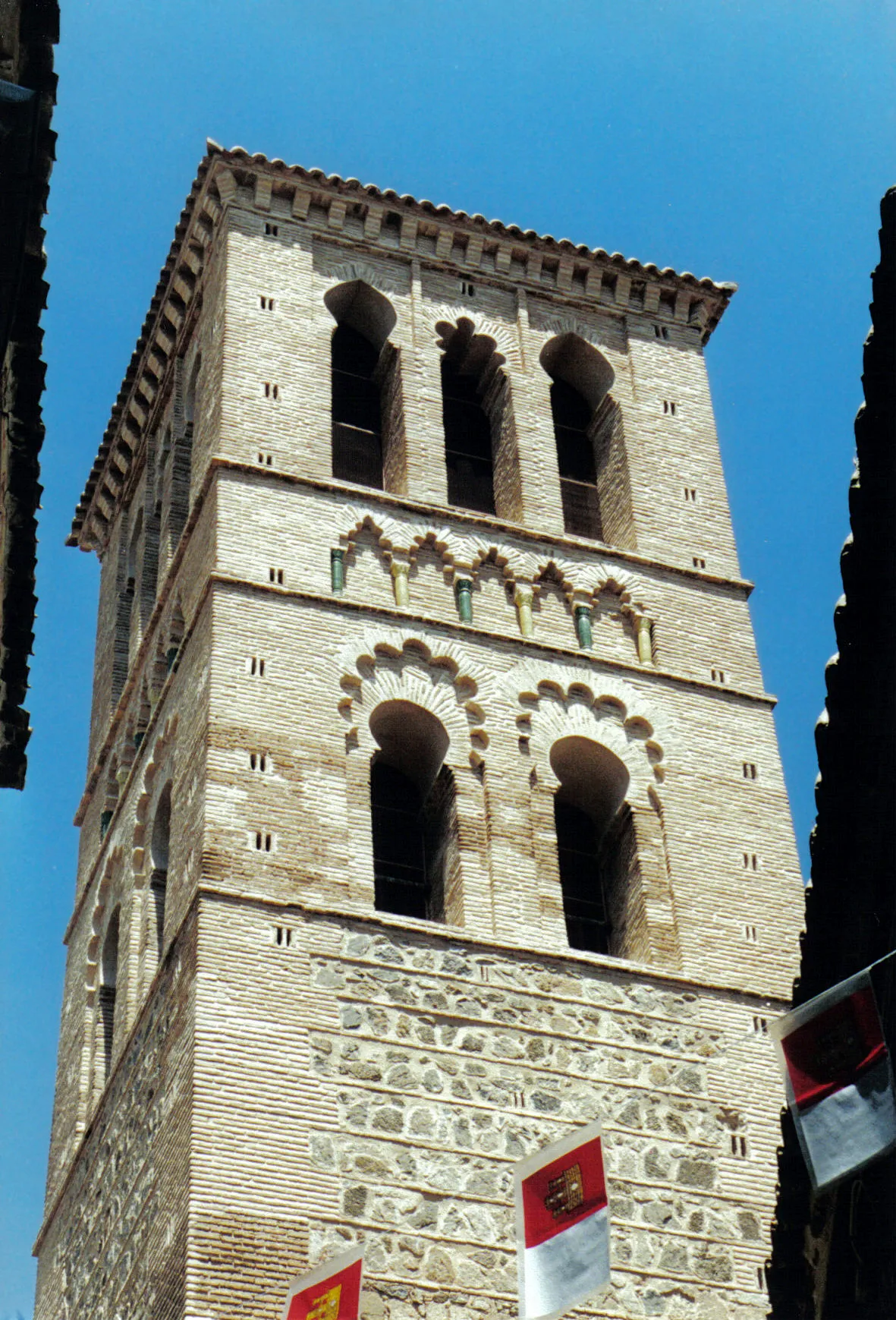
Iglesia de Santo Tomé EmDee · CC BY-SA 3.0 -
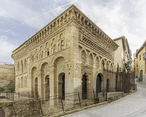
Mosque of Cristo de la Luz Fernando · CC BY-SA 4.0 -
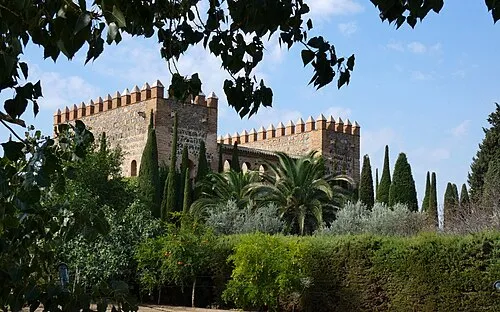
Palacio de Galiana Miguel Angel Masegosa Martínez · CC BY 2.0


Climate of Azucaica
Best months for sightseeingBest months for sightseeing: April–May, October.
This month · November
Outside the best season
Day 16° · Night 6° · Rain 41 mm
Better nearby cities in November
- Murcia · 324 km southeast20°
- Seville · 328 km southwest20°
- Orihuela · 329 km southeast20°
- Hottest month
- July (day 34°)
- Coldest month
- January (night 2°)
- Wettest month
- May (44 mm)
- Driest month
- August (9 mm)
Bars: average monthly low and high temperature. Below: precipitation. Monthly averages for 1970–2000 at about 18 km resolution, adjusted for elevation. Highlighted months are mild and relatively dry. Source: WorldClim 2.1 (CC BY 4.0).
Show values as a table
| Month | Jan | Feb | Mar | Apr | May | Jun | Jul | Aug | Sep | Oct | Nov | Dec |
|---|---|---|---|---|---|---|---|---|---|---|---|---|
| Average high (°C) | 12° | 14° | 18° | 19° | 24° | 29° | 34° | 33° | 29° | 22° | 16° | 12° |
| Average low (°C) | 2° | 4° | 6° | 7° | 11° | 16° | 19° | 19° | 15° | 10° | 6° | 4° |
| Precipitation (mm) | 32 | 28 | 24 | 40 | 44 | 26 | 12 | 9 | 22 | 37 | 41 | 44 |
How to get to Azucaica
The nearest airport is Adolfo Suárez Madrid–Barajas Airport (MAD), 76 km to the northeast as the crow flies. The nearest large city is Parla, 43 km to the northeast.
Airports
- Adolfo Suárez Madrid–Barajas Airport (MAD) Madrid 76 kmnortheast
- Salamanca Airport (SLM) Salamanca 176 kmnorthwest
- Valladolid Airport (VLL) Valladolid 216 kmnorth
Nearby large cities
- Parla Population: 115.6K 43 kmnortheast
- Fuenlabrada Population: 190.5K 47 kmnorth
- Móstoles Population: 207.1K 50 kmnorth
- Getafe Population: 187.5K 51 kmnortheast
- Leganés Population: 188.4K 53 kmnorth
Straight-line distances; road distances are longer. Airport data: OurAirports.
Day trips from Azucaica
Within 100 km: 494 historic and cultural sites, 248 natural sites, 231 lakes, rivers and coasts.
0–25 km45 places
- Cerro de Layos Mountain 17 kmS
- Noez Mountain 25 kmSW
- Río Jarama River 24 kmNE
- Arroyo de Gadea River 22 kmNW
25–60 km256 places
- Pantano del Torcón Lake 45 kmSW
- La Laguna Lake 59 kmE
- Montes de Toledo Mountain 48 kmSW
- Cerro del Buey Mountain 32 kmSE
60–100 km672 places
- Laguna del Taray Lake 68 kmSE
- Laguna Romani Lake 92 kmS
- Laguna Larga Lake 64 kmSE
- Laguna de La Nava Lake 95 kmS
Straight-line distances.
Nearby attractions & nature
Everything nearby-
Palacio de Galiana Historic site, Toledo3.4 km SW
-
Mosque of Cristo de la Luz Attraction, Toledo5.1 km SW
-
Iglesia de Santo Tomé Attraction, Toledo5.6 km SW
-
Patronato Deportivo Municipal de Toledo Landmark, Toledo4.2 km W
-
Castle of San Servando Landmark, Toledo4.5 km SW
-
Puente de Alcantara Historic site, Toledo4.6 km SW
Sources & licences
Data last updated: