Yunclillos
Located in Province of Toledo, Castille-La Mancha Coordinates: 40°00′55″ N 4°00′14″ W

- Population
- 856
- 856
- Elevation
- 507 m
- above sea level
- Local time
- UTC+01:00
- Europe/Madrid · UTC+01:00
- Places inside
- 1
- listed under Yunclillos
- Airports
- MAD Adolfo Suárez Madrid–Barajas Airport65 km
- SLM Salamanca Airport164 km
About Yunclillos
Yunclillos is a municipality. Location: Province of Toledo, Castille-La Mancha. Population: 856. Elevation: 507 m.
Yunclillos is a municipality located in the province of Toledo, Castile-La Mancha, Spain. According to the 2006 census (INE), the municipality has a population of 706 inhabitants.
Source: Wikipedia · CC BY-SA 4.0
At a glance
- Area
- 31 km²
Source: Wikidata
Photos of Yunclillos
-

Centro Nacional de Información Geográfica · CC BY 4.0 -

Malopez 21 · CC BY-SA 4.0 -

Malopez 21 · CC BY-SA 4.0


Places bordering Yunclillos
- Recas
- Villaluenga de la Sagra
- Bargas
Population of Yunclillos over time
| 2014 | 866 | |
|---|---|---|
| 2015 | 878 | |
| 2016 | 864 | |
| 2017 | 830 | |
| 2018 | 809 | |
| 2019 | 809 | |
| 2020 | 795 | |
| 2021 | 789 | |
| 2022 | 806 | |
| 2023 | 820 | |
| 2024 | 816 | |
| 2025 | 819 |
Censuses and official estimates; source: Wikidata.
Climate of Yunclillos
Best months for sightseeingBest months for sightseeing: May, October.
This month · November
Outside the best season
Day 15° · Night 6° · Rain 41 mm
Better nearby cities in November
- Murcia · 335 km southeast20°
- Seville · 339 km southwest20°
- Orihuela · 340 km southeast20°
- Hottest month
- July (day 33°)
- Coldest month
- January (night 2°)
- Wettest month
- May (44 mm)
- Driest month
- August (10 mm)
Bars: average monthly low and high temperature. Below: precipitation. Monthly averages for 1970–2000 at about 18 km resolution, adjusted for elevation. Highlighted months are mild and relatively dry. Source: WorldClim 2.1 (CC BY 4.0).
Show values as a table
| Month | Jan | Feb | Mar | Apr | May | Jun | Jul | Aug | Sep | Oct | Nov | Dec |
|---|---|---|---|---|---|---|---|---|---|---|---|---|
| Average high (°C) | 11° | 14° | 17° | 19° | 23° | 29° | 33° | 33° | 29° | 21° | 15° | 12° |
| Average low (°C) | 2° | 3° | 5° | 7° | 11° | 15° | 18° | 18° | 15° | 10° | 6° | 3° |
| Precipitation (mm) | 31 | 28 | 24 | 39 | 44 | 27 | 13 | 10 | 23 | 38 | 41 | 43 |
How to get to Yunclillos
The nearest airport is Adolfo Suárez Madrid–Barajas Airport (MAD), 65 km to the northeast as the crow flies. The nearest large city is Parla, 32 km to the northeast.
Airports
- Adolfo Suárez Madrid–Barajas Airport (MAD) Madrid 65 kmnortheast
- Salamanca Airport (SLM) Salamanca 164 kmnorthwest
- Valladolid Airport (VLL) Valladolid 201 kmnorth
Nearby large cities
- Parla Population: 115.6K 32 kmnortheast
- Fuenlabrada Population: 190.5K 35 kmnortheast
- Móstoles Population: 207.1K 36 kmnorth
- Getafe Population: 187.5K 40 kmnortheast
- Alcorcón Population: 172.4K 40 kmnorth
Straight-line distances; road distances are longer. Airport data: OurAirports.
Day trips from Yunclillos
Within 100 km: 496 historic and cultural sites, 271 natural sites, 254 lakes, rivers and coasts.
0–25 km56 places
- Parque Manuel de Vega Natural site 18 kmNE
- Río Jarama River 24 kmE
- Arroyo de Gadea River 10 kmNW
- Arroyo de Cantaelgallo River 10 kmNW
25–60 km534 places
- Pantano del Torcón Lake 54 kmSW
- Pantano de San Juan Lake 50 kmNW
- Pantano de San Juan Lake 48 kmNW
- Embalse de Valmayor Lake 59 kmN
60–100 km431 places
- Laguna del Taray Lake 80 kmSE
- Laguna Larga Lake 74 kmSE
- La Laguna Lake 68 kmSE
- Laguna Grande Lake 86 kmSE
Straight-line distances.
Places in Yunclillos
1 placeCities & villages1
- Yunclillos · Village
Nearby attractions & nature
Everything nearby-
Arroyo de Camarenilla River, Bargas7.2 km SW
-
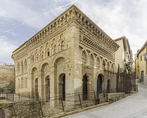 Mosque of Cristo de la Luz Attraction, Toledo17 km S
-
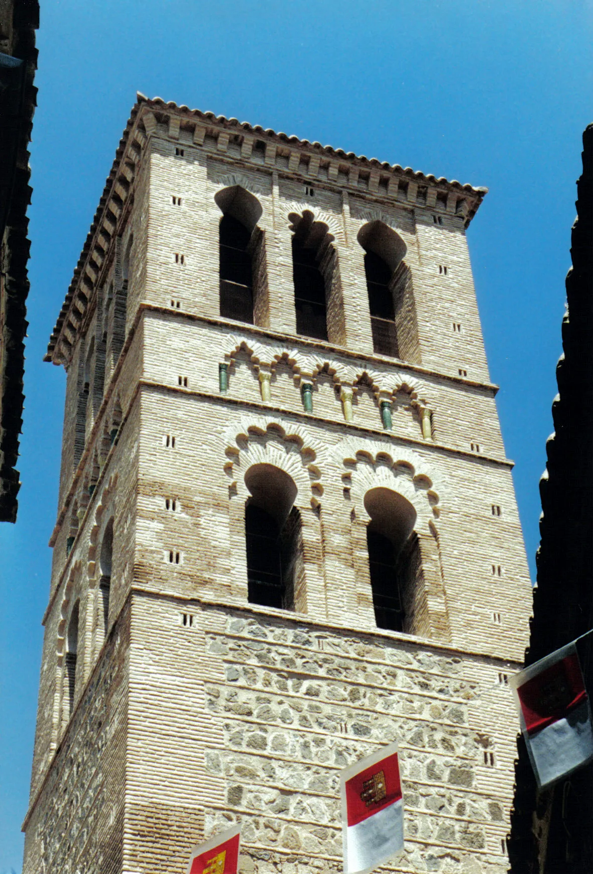 Iglesia de Santo Tomé Attraction, Toledo18 km S
-
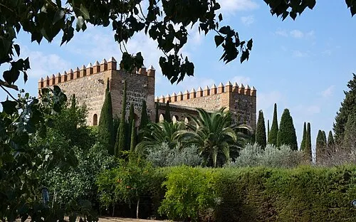 Palacio de Galiana Historic site, Toledo17 km S
-
Arroyo de Cantaelgallo River, Camarenilla10 km NW
-
Arroyo de Gadea River, Arcicóllar10 km NW
-
Mirador del Greco Transmitter Landmark, Toledo13 km S
-
Arroyo de Renales River, Bargas12 km SW
Other cities and towns in Province of Toledo
-
 Toledo Municipality, Province of Toledo16 km S
-
 Yuncler Municipality, Province of Toledo9.3 km NE
-
 Cedillo del Condado Municipality, Province of Toledo11 km NE
-
 Yuncos Municipality, Province of Toledo13 km NE
-
 Chozas de Canales Municipality, Province of Toledo11 km N
-
 Villaluenga de la Sagra Municipality, Province of Toledo8.4 km E
Sources & licences
Data last updated: · 2 independent sources