Turó de Valldaura
Located in Cerdanyola del Vallès, Barcelona Coordinates: 41°26′41″ N 2°07′58″ E
- Elevation
- 421 m
- above sea level
- Local time
- UTC+01:00
- Europe/Madrid · UTC+01:00
- Airports
- BCN Josep Tarradellas Barcelona-El Prat Airport17 km
- GRO Girona-Costa Brava Airport73 km
About Turó de Valldaura
Turó de Valldaura is a mountain. Location: Cerdanyola del Vallès, Barcelona. Elevation: 421 m. The best months to visit are June–July, September. The nearest airport is Josep Tarradellas Barcelona-El Prat Airport (17 km). Nearby sights include Turó de Sant Cebrià and Parc del Laberint d'Horta.
Photos of Turó de Valldaura
-
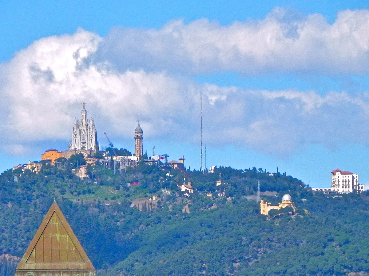
Tibidabo jordi domènech · CC BY-SA 3.0 -
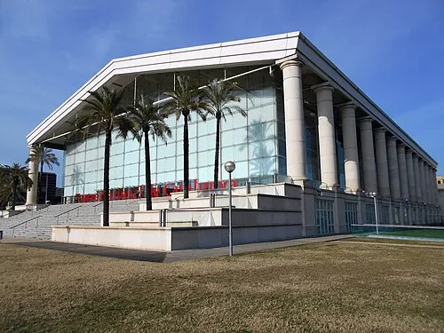
Teatre Nacional de Catalunya Canaan · CC BY-SA 4.0 -
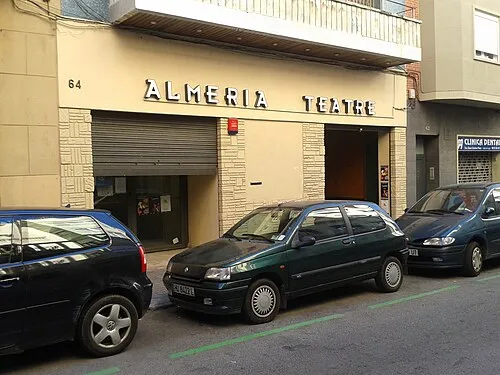
Almeria Teatre DavidianSkitzou · CC BY-SA 3.0 -
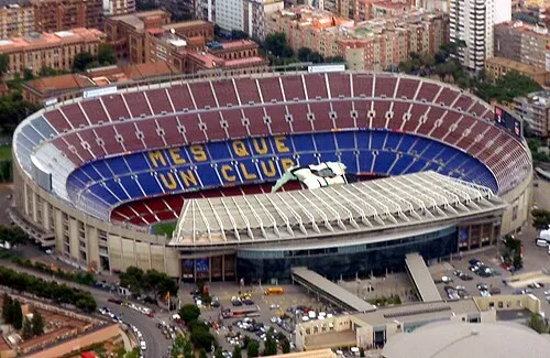
Camp Nou Oh-Barcelona.com from Barcelona, Spain · CC BY 2.0 -
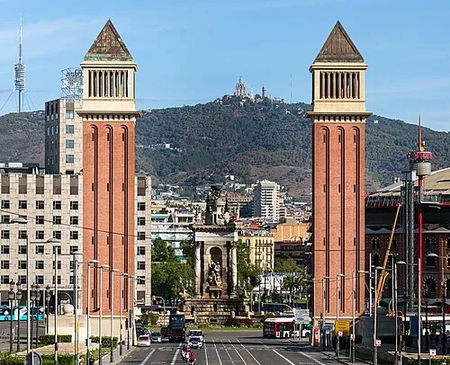
Venetian Towers Didier Descouens · CC BY-SA 4.0


Climate of Turó de Valldaura
Best months for sightseeingBest months for sightseeing: June–July, September.
This month · November
Outside the best season
Day 14° · Night 6° · Rain 58 mm
- Hottest month
- August (day 26°)
- Coldest month
- January (night 2°)
- Wettest month
- October (82 mm)
- Driest month
- July (27 mm)
Bars: average monthly low and high temperature. Below: precipitation. Monthly averages for 1970–2000 at about 18 km resolution, adjusted for elevation. Highlighted months are mild and relatively dry. Source: WorldClim 2.1 (CC BY 4.0).
Show values as a table
| Month | Jan | Feb | Mar | Apr | May | Jun | Jul | Aug | Sep | Oct | Nov | Dec |
|---|---|---|---|---|---|---|---|---|---|---|---|---|
| Average high (°C) | 11° | 12° | 14° | 16° | 19° | 23° | 26° | 26° | 24° | 19° | 14° | 12° |
| Average low (°C) | 2° | 3° | 5° | 6° | 10° | 14° | 17° | 17° | 15° | 10° | 6° | 4° |
| Precipitation (mm) | 44 | 34 | 46 | 49 | 59 | 47 | 27 | 58 | 79 | 82 | 58 | 52 |
How to get to Turó de Valldaura
The nearest airport is Josep Tarradellas Barcelona-El Prat Airport (BCN), 17 km to the south as the crow flies. The nearest large city is Sant Martí, 6 km to the southeast.
Airports
- Josep Tarradellas Barcelona-El Prat Airport (BCN) Barcelona 17 kmsouth
- Girona-Costa Brava Airport (GRO) Girona 73 kmnortheast
- Reus Airport (REU) Reus 87 kmwest
Nearby large cities
- Sant Martí Population: 235.7K 6 kmsoutheast
- Santa Coloma de Gramenet Population: 118.8K 6 kmeast
- Barcelona Population: 1.7M 7 kmsouth
- Badalona Population: 217.7K 10 kmeast
- L'Hospitalet de Llobregat Population: 257K 10 kmsouth
Straight-line distances; road distances are longer. Airport data: OurAirports.
Day trips from Turó de Valldaura
Within 100 km: 613 historic and cultural sites, 715 natural sites, 233 lakes, rivers and coasts.
0–25 km457 places
- Platja del Besòs Beach 9 kmE
- Platja de Badalona Beach 9 kmE
- Barceloneta Beach Beach 9 kmSE
- Platja de Sant Miquel Beach 9 kmSE
25–60 km350 places
- Playa de Sant Simó Beach 29 kmE
- Platja de s'Abanell Beach 60 kmNE
- Platja del Camí de la Pomereda Beach 57 kmNE
- Platja de Garbí Beach 47 kmNE
60–100 km754 places
- Playa del Rincón Beach 90 kmSW
- Platja de Lloret Beach 66 kmNE
- Platja de Canyelles Beach 69 kmNE
- Cala del Vigatà Beach 83 kmNE
Straight-line distances.
Nearest towns and villages
-
 Montbau Neighbourhood, Horta-Guinardó1.1 km S
-
Horta-Guinardó Village, Barcelona2.3 km SE
-
 Sant Genís dels Agudells Neighbourhood, Horta-Guinardó2.1 km S
-
 Canyelles Neighbourhood, Nou Barris2.6 km E
-
Nou Barris Village, Barcelona3.5 km E
-
Horta Neighbourhood, Horta-Guinardó2.2 km SE
Nearby attractions & nature
Everything nearby-
Turó de Sant Cebrià Mountain, Barcelona1 km S
-
Parc del Laberint d'Horta Natural site, Barcelona1.2 km SE
-
Tibidabo Mountain, Sarrià-Sant Gervasi2.7 km SW
-
Turó Blau Mountain, Barcelona2.8 km E
-
Parc de Josep Serra Martí Natural site, Barcelona2.8 km E
-
Parc Turó de la Peira Natural site, Barcelona3 km SE
-
Parc Central de Nou Barris Natural site, Barcelona3 km E
-
Parque aromático Rodrigo Caro Natural site, Nou Barris3.2 km E
Sources & licences
Data last updated: