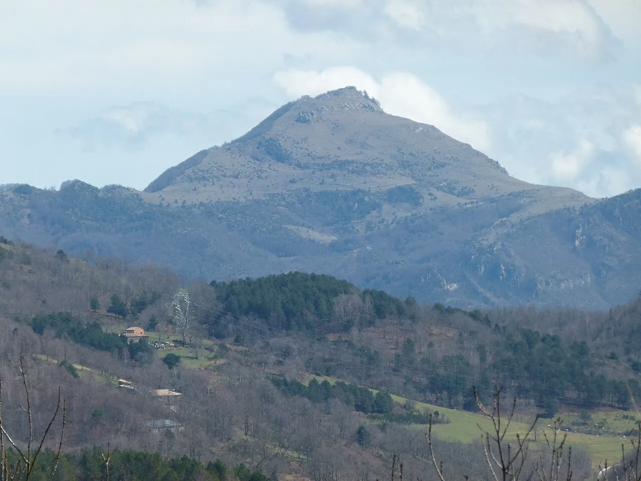
- Elevation
- 1,557 m
- above sea level
- Local time
- UTC+01:00
- Europe/Madrid · UTC+01:00
- Airports
- GRO Girona-Costa Brava Airport51 km
- PGF Perpignan-Rivesaltes (Llabanère) Airport53 km
About Comanegra
Comanegra is a mountain. Location: Montagut i Oix, Girona. Elevation: 1,557 m.
The Puig de Comanegra is a mountain of Catalonia, on the border between Spain and France. Located in the Pyrenees, it has an elevation of 1,557.4 metres (5,110 ft) above sea level. It is the southernmost point of mainland France.
Source: Wikipedia · CC BY-SA 4.0
At a glance
- Topographic prominence
- 423 m
Source: Wikidata
Climate of Comanegra
Best months for sightseeingBest months for sightseeing: July–August.
This month · November
A cold month
Day 6° · Night -2° · Rain 67 mm
- Hottest month
- July (day 19°)
- Coldest month
- January (night -5°)
- Wettest month
- October (85 mm)
- Driest month
- July (39 mm)
Bars: average monthly low and high temperature. Below: precipitation. Monthly averages for 1970–2000 at about 18 km resolution, adjusted for elevation. Highlighted months are mild and relatively dry. Source: WorldClim 2.1 (CC BY 4.0).
Show values as a table
| Month | Jan | Feb | Mar | Apr | May | Jun | Jul | Aug | Sep | Oct | Nov | Dec |
|---|---|---|---|---|---|---|---|---|---|---|---|---|
| Average high (°C) | 3° | 4° | 6° | 8° | 12° | 16° | 19° | 19° | 16° | 11° | 6° | 4° |
| Average low (°C) | -5° | -5° | -3° | -1° | 3° | 6° | 9° | 9° | 6° | 2° | -2° | -4° |
| Precipitation (mm) | 57 | 48 | 56 | 66 | 82 | 66 | 39 | 61 | 77 | 85 | 67 | 68 |
How to get to Comanegra
The nearest airport is Girona-Costa Brava Airport (GRO), 51 km to the south as the crow flies. The nearest large city is Girona, 46 km to the southeast.
Airports
- Girona-Costa Brava Airport (GRO) Girona 51 kmsouth
- Perpignan-Rivesaltes (Llabanère) Airport (PGF) Perpignan/Rivesaltes 53 kmnortheast
- Pirineus - la Seu d'Urgel Airport (LEU) La Seu d'Urgell Pyrenees and Andorra 92 kmwest
Nearby large cities
- Girona Population: 100.3K 46 kmsoutheast
- Perpignan Population: 110.7K 51 kmnortheast
- Mataró Population: 127K 88 kmsouth
- Sabadell Population: 211.7K 94 kmsouth
- Terrassa Population: 218.5K 95 kmsouthwest
Straight-line distances; road distances are longer. Airport data: OurAirports.
Nearest towns and villages
Nearby attractions & nature
Everything nearby-
Baga de Bordellat Natural site, Pyrénées-Orientales1.4 km NW
-
Puig Antic Mountain, Montagut i Oix2 km E
-
Cim de Bordellat Mountain, Lamanère2 km NW
-
Puig de les Bruixes Mountain, Albanyà2.5 km SE
-
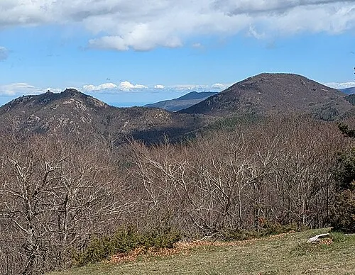 Montnegre Mountain, Serralongue4.2 km NE
-
Puig de Sant Marc Mountain, Albanyà3.3 km SE
-
Puig de la Llibertat Mountain, Albanyà3.8 km NE
-
Puig de Bestracà Mountain, Camprodon4.4 km S
Sources & licences
Data last updated: · 2 independent sources