
- Population
- 291
- 291
- Elevation
- 1,520 m
- above sea level
- Local time
- UTC+01:00
- Europe/Madrid · UTC+01:00
- Airports
- LEU Pirineus - la Seu d'Urgel Airport50 km
- ILD Lleida-Alguaire Airport92 km
About Taüll
Taüll is a village. Location: la Vall de Boí, Lleida. Population: 291. Elevation: 1,520 m.
Taüll (Catalan pronunciation: [təˈuʎ]) is a town in the province of Lleida, in Catalonia, Spain. It is home to the church of Sant Climent de Taüll, an excellent example of Romanesque architecture, one of the Catalan Romanesque Churches of the Vall de Boí declared World Heritage Site by UNESCO. Taüll is one of the villages of the municipality of Vall de Boí in the comarca of Alta Ribagorça.
Source: Wikipedia · CC BY-SA 4.0
Photos of Taüll
-
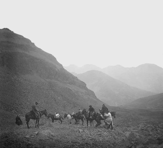
Tossal de la Mina Josep Salvany i Blanch · Public domain -
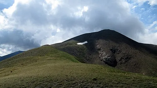
el Corronco Simonjoan · CC BY-SA 4.0


Population of Taüll over time
| 1991 | 117 | |
|---|---|---|
| 2000 | 201 | |
| 2010 | 264 | |
| 2023 | 278 | |
| 2024 | 290 | |
| 2025 | 291 |
Censuses and official estimates; source: Wikidata.
Climate of Taüll
Best months for sightseeingBest months for sightseeing: July–August.
This month · November
A wet month
Day 7° · Night 0° · Rain 150 mm
- Hottest month
- July (day 24°)
- Coldest month
- January (night -4°)
- Wettest month
- November (150 mm)
- Driest month
- July (73 mm)
Bars: average monthly low and high temperature. Below: precipitation. Monthly averages for 1970–2000 at about 18 km resolution, adjusted for elevation. Highlighted months are mild and relatively dry. Source: WorldClim 2.1 (CC BY 4.0).
Show values as a table
| Month | Jan | Feb | Mar | Apr | May | Jun | Jul | Aug | Sep | Oct | Nov | Dec |
|---|---|---|---|---|---|---|---|---|---|---|---|---|
| Average high (°C) | 2° | 4° | 6° | 8° | 13° | 19° | 24° | 24° | 19° | 13° | 7° | 4° |
| Average low (°C) | -4° | -4° | -2° | 0° | 3° | 7° | 10° | 11° | 8° | 4° | 0° | -3° |
| Precipitation (mm) | 126 | 113 | 103 | 114 | 146 | 114 | 73 | 86 | 99 | 136 | 150 | 134 |
How to get to Taüll
The nearest airport is Pirineus - la Seu d'Urgel Airport (LEU), 50 km to the southeast as the crow flies. The nearest large city is Lleida, 102 km to the south.
Airports
- Pirineus - la Seu d'Urgel Airport (LEU) La Seu d'Urgell Pyrenees and Andorra 50 kmsoutheast
- Lleida-Alguaire Airport (ILD) Lleida 92 kmsouth
- Tarbes-Lourdes-Pyrénées Airport (LDE) Tarbes/Lourdes/Pyrénées 101 kmnorthwest
Nearby large cities
- Lleida Population: 140.8K 102 kmsouth
- Toulouse Population: 511.7K 130 kmnorth
- Terrassa Population: 218.5K 143 kmsoutheast
- Sabadell Population: 211.7K 151 kmsoutheast
- Reus Population: 103.5K 153 kmsouth
Straight-line distances; road distances are longer. Airport data: OurAirports.
Day trips from Taüll
Within 100 km: 99 historic and cultural sites, 1,688 natural sites, 248 lakes, rivers and coasts.
0–25 km233 places
- Esglesia de Sant Esteve de Ginast Attraction 11 kmW
- Estany de Travessani Lake 10 kmN
- Estany de Sant Maurici Lake 14 kmNE
- Lago Saburó Lake 14 kmE
25–60 km727 places
- Artigue River 40 kmNE
- Lago de Urdiceto Lake 49 kmW
- Pantà de Sant Antoni Lake 36 kmS
- Pantà de Terradets Lake 50 kmS
60–100 km1,075 places
- Estany d'Ivars i Vila-san Lake 93 kmS
- Ibón Superior de Brazato Lake 90 kmW
- Ibón Superior de Bramatuero Lake 90 kmW
- Pantà de Sant Llorenç de Montgai Lake 73 kmS
Straight-line distances.
Nearby attractions & nature
Everything nearby-
el Corronco Mountain, la Vall de Boí6.6 km S
-
Pic de Comaminyana Mountain, la Vall de Boí5.1 km NW
-
Tossal de la Mina Mountain, la Vall de Boí6.7 km SE
-
Cap de Vaques Mountain, la Vall de Boí5.4 km S
-
Pic d'Obacs Mountain, la Vall de Boí5.4 km NW
-
Petit Pic del Pessó Mountain, la Vall de Boí6 km E
Sources & licences
Data last updated: · 2 independent sources