Carballeda de Valdeorras
Located in Ourense, Galicia Coordinates: 42°20′56″ N 6°51′21″ W
- Population
- 1,773
- 1.8K
- Elevation
- 753 m
- above sea level
- Local time
- UTC+01:00
- Europe/Madrid · UTC+01:00
- Places inside
- 23
- listed under Carballeda de Valdeorras
About Carballeda de Valdeorras
Carballeda de Valdeorras is a municipality. Location: Ourense, Galicia. Population: 1,773. Elevation: 753 m.
Carballeda de Valdeorras is a large municipality in the province of Ourense, in the autonomous community of Galicia, Spain. It belongs to the comarca of Valdeorras. The only taxus baccata forest in Galicia is located within this municipality.
Read more on Wikipedia Text: Wikipedia contributors · CC BY-SA 4.0 · shortened
At a glance
- Area
- 223 km²
Source: Wikidata
In comparison
- No. 40 of 92 places in Ourense by population
- Nearest larger town: Puente de Domingo Flórez, 8 km N
- 7 sights and natural places within 10 km Río de San Gil, Río Valborraz
- Listed here: Village: 22, Natural site: 1
Places in Carballeda de Valdeorras
23 places-
Carballeda Village44
-
Soutadoiro Village11
-
Bascois Village
-
Candeda Village
-
Casayo Village
-
Casoio Village
-
Domiz Village
-
Lardeira Village
-
Manancial da Cova Natural site
-
Medua Village
-
Nogueiras Village
-
Novais Village
-
Portela Village
-
Pumares Village
-
Pusmazán Village
-
Ríodolas Village
-
Robledo Village
-
San Justo Village
-
Santa Cruz Village
-
Sobradelo Village
-
Trigal Village
-
Vila Village
-
Villadequinta Village
Nearby attractions & nature
Everything nearby-
Río de San Gil River, A Veiga3.7 km SE
-
Fonte Forraxes Natural site, A Veiga5.2 km W
-
Río Valborraz River, A Veiga4.8 km SE
-
Pena Trevinca Mountain, A Veiga11 km SE
-
Río Cabrera River, Puente de Domingo Flórez7.7 km NE
-
Río Valdecaballos River, A Veiga8.8 km SW
-
Río Casoio River, Barco de Valdeorras, O9 km NW
-
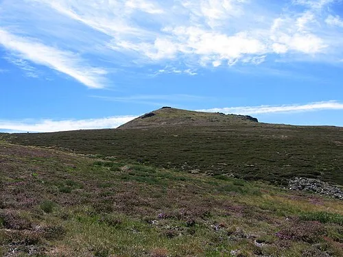 Trevinca Mountain, A Veiga13 km SE
Sources & licences
Data last updated: · 2 independent sources