Karlskrona socken
Located in Karlskrona stadsförs., Karlskrona Municipality Coordinates: 56°10′02″ N 15°35′25″ E
- Elevation
- 1 m
- above sea level
- Local time
- UTC+01:00
- Europe/Stockholm · UTC+01:00
- Places inside
- 6
- listed under Karlskrona socken
- Airports
- RNB Ronneby Airport23 km
- KLR Kalmar Airport72 km
About Karlskrona socken
Karlskrona socken is a village. Location: Karlskrona stadsförs., Karlskrona Municipality. Elevation: 1 m. The best months to visit are June–August. The nearest airport is Ronneby Airport (23 km). Nearby sights include Lilla Pantarholmen and Möllholmen.
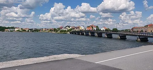
Photos of Karlskrona socken
-
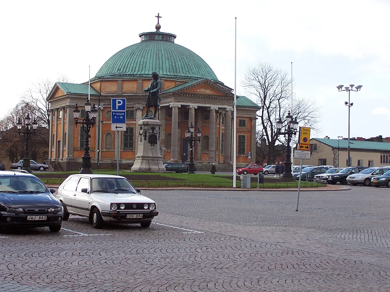
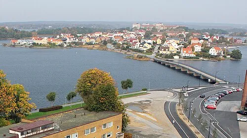
Trossö Sendelbach · CC BY-SA 3.0 -
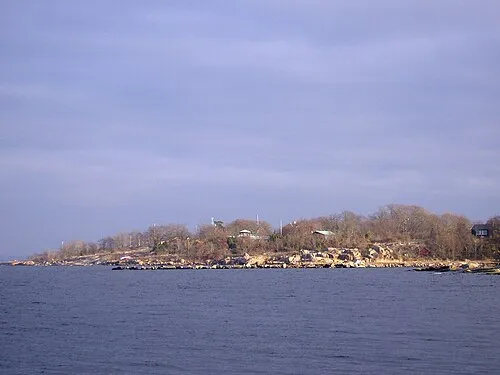
Tjurkö Nordelch · CC BY-SA 3.0 -
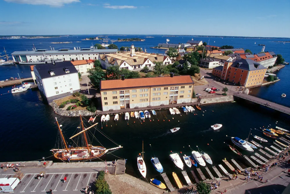
Stumholmen Marinmuseum from Karlskrona, Sweden · CC BY 2.0 -
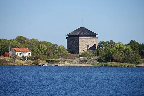
Möllholmen Sannamw · CC BY-SA 4.0 -
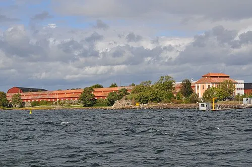
Lindholmen Boatbuilder · CC BY-SA 3.0


Climate of Karlskrona socken
Best months for sightseeingBest months for sightseeing: June–August.
This month · November
A cold month
Day 7° · Night 2° · Rain 70 mm
- Hottest month
- July (day 22°)
- Coldest month
- February (night -3°)
- Wettest month
- November (70 mm)
- Driest month
- April (35 mm)
Bars: average monthly low and high temperature. Below: precipitation. Monthly averages for 1970–2000 at about 18 km resolution, adjusted for elevation. Highlighted months are mild and relatively dry. Source: WorldClim 2.1 (CC BY 4.0).
Show values as a table
| Month | Jan | Feb | Mar | Apr | May | Jun | Jul | Aug | Sep | Oct | Nov | Dec |
|---|---|---|---|---|---|---|---|---|---|---|---|---|
| Average high (°C) | 2° | 2° | 5° | 10° | 16° | 20° | 22° | 21° | 16° | 12° | 7° | 3° |
| Average low (°C) | -3° | -3° | -1° | 1° | 6° | 10° | 12° | 12° | 8° | 5° | 2° | -1° |
| Precipitation (mm) | 54 | 42 | 42 | 35 | 40 | 51 | 57 | 53 | 66 | 62 | 70 | 63 |
How to get to Karlskrona socken
The nearest airport is Ronneby Airport (RNB), 23 km to the northwest as the crow flies. The nearest large city is Malmö, 174 km to the west.
Airports
- Ronneby Airport (RNB) Ronneby 23 kmnorthwest
- Kalmar Airport (KLR) Kalmar 72 kmnortheast
- Växjö Kronoberg Airport (VXO) Växjö 100 kmnorthwest
Nearby large cities
- Malmö Population: 362.1K 174 kmwest
- Helsingborg Population: 104.2K 181 kmwest
- Copenhagen Population: 1.2M 197 kmwest
- Jönköping Population: 112.8K 200 kmnorthwest
- Gothenburg Population: 608.5K 279 kmnorthwest
Straight-line distances; road distances are longer. Airport data: OurAirports.
Day trips from Karlskrona socken
Within 100 km: 2 historic and cultural sites, 30 natural sites, 178 lakes, rivers and coasts.
0–25 km89 places
- Långö Island 1 kmNW
- Länsman Island 3 kmNE
- Myrholmen Island 4 kmN
- Högholmen Island 4 kmN
25–60 km44 places
- Majö Island 29 kmE
- Björkeskär Island 29 kmE
- Revelen Island 33 kmNE
- Östra Bokö Island 38 kmW
60–100 km77 places
- Öland Island 91 kmNE
- Rakö Island 74 kmW
- Frederiksø Island 98 kmS
- Flädjeören Natural site 64 kmW
Straight-line distances.
Places in Karlskrona socken
6 places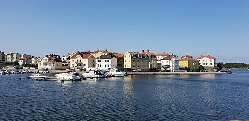
Nearby attractions & nature
Everything nearby-
 Lilla Pantarholmen Island, Blekinge County0.4 km W
-
Möllholmen Island, Blekinge County0.6 km E
-
Högaholmen Island, Blekinge County0.4 km W
-
Hattholmen Island, Blekinge County0.6 km E
-
Kalsholmen Island, Blekinge County1.6 km E
-
Arnö Island, Blekinge County1.8 km N
Sources & licences
Data last updated: