Sandviken socken
Located in Sandviken, Sandviken Municipality Coordinates: 60°40′30″ N 16°47′34″ E
- Elevation
- 83 m
- above sea level
- Local time
- UTC+01:00
- Europe/Stockholm · UTC+01:00
- Airports
- BLE Dala Airport76 km
- VST Stockholm Västerås Airport121 km
About Sandviken socken
Sandviken socken is a village. Location: Sandviken, Sandviken Municipality. Elevation: 83 m. The best months to visit are June–August. The nearest airport is Dala Airport (76 km). Nearby sights include Digerön and Långön.
Climate of Sandviken socken
Best months for sightseeingBest months for sightseeing: June–August.
This month · November
A cold month
Day 3° · Night -3° · Rain 62 mm
- Hottest month
- July (day 22°)
- Coldest month
- February (night -9°)
- Wettest month
- July (77 mm)
- Driest month
- February (29 mm)
Bars: average monthly low and high temperature. Below: precipitation. Monthly averages for 1970–2000 at about 18 km resolution, adjusted for elevation. Highlighted months are mild and relatively dry. Source: WorldClim 2.1 (CC BY 4.0).
Show values as a table
| Month | Jan | Feb | Mar | Apr | May | Jun | Jul | Aug | Sep | Oct | Nov | Dec |
|---|---|---|---|---|---|---|---|---|---|---|---|---|
| Average high (°C) | -1° | -1° | 3° | 8° | 15° | 20° | 22° | 20° | 15° | 9° | 3° | 0° |
| Average low (°C) | -8° | -9° | -5° | -2° | 3° | 8° | 11° | 9° | 5° | 1° | -3° | -7° |
| Precipitation (mm) | 44 | 29 | 35 | 44 | 38 | 59 | 77 | 77 | 67 | 58 | 62 | 51 |
How to get to Sandviken socken
The nearest airport is Dala Airport (BLE), 76 km to the west as the crow flies. For international flights: Stockholm Västerås Airport (VST) (121 km). The nearest large city is Västerås, 119 km to the south.
Airports
- Dala Airport (BLE) Borlange 76 kmwest
- Stockholm Västerås Airport (VST) Stockholm / Västerås 121 kmsouth
- Mora Airport (MXX) Mora 128 kmwest
Nearby large cities
- Västerås Population: 127.8K 119 kmsouth
- Sollentuna Population: 139.6K 153 kmsoutheast
- Stockholm Population: 1.5M 166 kmsoutheast
- Örebro Population: 156K 179 kmsouthwest
- Oslo Population: 1.1M 345 kmwest
Straight-line distances; road distances are longer. Airport data: OurAirports.
Day trips from Sandviken socken
Within 100 km: 1 historic or cultural site, 28 natural sites, 113 lakes, rivers and coasts.
0–25 km6 places
- Långön Island 9 kmS
- Digerön Island 4 kmNE
- Malmön Island 10 kmS
- Boön Island 10 kmS
25–60 km45 places
- Långmaren Island 31 kmNE
- Kniven Island 50 kmE
- Olsgrundet Island 54 kmE
- Nygrundshällan Island 33 kmNE
60–100 km91 places
- Lasjönsholme Island 99 kmSW
- Kalkberget Mountain 82 kmW
- Boberget Mountain 84 kmW
- Tjärnaberget Mountain 82 kmW
Straight-line distances.
Nearby attractions & nature
Everything nearby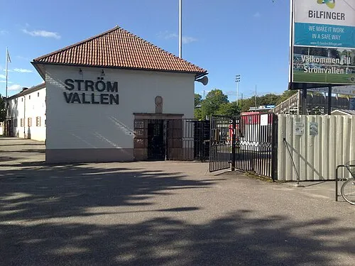
Sources & licences
Data last updated: