Linnberget
Located in Härjedalen Municipality, Jämtland County Coordinates: 62°04′59″ N 14°40′59″ E
- Elevation
- 400 m
- above sea level
- Local time
- UTC+01:00
- Europe/Stockholm · UTC+01:00
About Linnberget
Linnberget is a mountain. Location: Härjedalen Municipality, Jämtland County. Elevation: 400 m.
In comparison
- No. 853 of 993 mountains in Sweden by elevation
Airports nearest to Linnberget
- Åre Östersund Airport (OSD) Östersund 124 km
- Mora Airport (MXX) Mora 126 km
- Scandinavian Mountains Airport (SCR) Malung-Sälen 142 km
Straight-line distance; airports with scheduled flights only. Source: OurAirports (public domain).
Nearest towns and villages
-
Älvros socken Village, Svegsbygden1.7 km SW
-
Älvros Village, Härjedalen Municipality4.1 km SW
-
Ytterberg Village, Härjedalen Municipality11 km W
-
Svegsbygden Municipality, Härjedalen Municipality18 km W
-
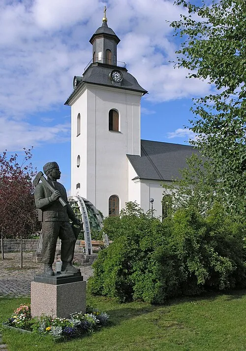 Sveg City, Härjedalen Municipality17 km W
-
Ytterhogdal, Överhogdal och Ängersjö Municipality, Härjedalen Municipality16 km NE
Nearby attractions & nature
Everything nearby-
Näsberget Mountain, Härjedalen Municipality7.4 km N
-
Svedberget Mountain, Härjedalen Municipality11 km W
-
Tällberget Mountain, Härjedalen Municipality11 km NW
-
Sålnbergen Mountain, Härjedalen Municipality15 km W
-
Digerberget Mountain, Härjedalen Municipality16 km W
-
Granåsen Mountain, Härjedalen Municipality17 km NW
-
Duvbergshammaren Mountain, Härjedalen Municipality21 km W
-
Rosstjärnberget Mountain, Härjedalen Municipality21 km W
Sources & licences
Data last updated: · 2 independent sources