Duvbergshammaren
Located in Härjedalen Municipality, Jämtland County Coordinates: 62°06′00″ N 14°16′59″ E
- Elevation
- 375 m
- above sea level
- Local time
- UTC+01:00
- Europe/Stockholm · UTC+01:00
- Airports
- OSD Åre Östersund Airport122 km
- MXX Mora Airport128 km
About Duvbergshammaren
Duvbergshammaren is a mountain. Location: Härjedalen Municipality, Jämtland County. Elevation: 375 m. The best months to visit are June–August. The nearest airport is Åre Östersund Airport (122 km). Nearby sights include Rosstjärnberget and Digerberget.
Climate of Duvbergshammaren
Best months for sightseeingBest months for sightseeing: June–August.
This month · November
A cold month
Day 0° · Night -7° · Rain 46 mm
- Hottest month
- July (day 20°)
- Coldest month
- January (night -14°)
- Wettest month
- July (85 mm)
- Driest month
- February (24 mm)
Bars: average monthly low and high temperature. Below: precipitation. Monthly averages for 1970–2000 at about 18 km resolution, adjusted for elevation. Highlighted months are mild and relatively dry. Source: WorldClim 2.1 (CC BY 4.0).
Show values as a table
| Month | Jan | Feb | Mar | Apr | May | Jun | Jul | Aug | Sep | Oct | Nov | Dec |
|---|---|---|---|---|---|---|---|---|---|---|---|---|
| Average high (°C) | -5° | -3° | 2° | 6° | 14° | 18° | 20° | 18° | 13° | 7° | 0° | -3° |
| Average low (°C) | -14° | -13° | -9° | -4° | 2° | 7° | 9° | 7° | 3° | -1° | -7° | -12° |
| Precipitation (mm) | 31 | 24 | 29 | 38 | 45 | 73 | 85 | 64 | 59 | 48 | 46 | 36 |
How to get to Duvbergshammaren
The nearest airport is Åre Östersund Airport (OSD), 122 km to the north as the crow flies. For international flights: Scandinavian Mountains Airport (SCR) (129 km). The nearest large city is Trondheim, 248 km to the northwest.
Airports
- Åre Östersund Airport (OSD) Östersund 122 kmnorth
- Mora Airport (MXX) Mora 128 kmsouth
- Scandinavian Mountains Airport (SCR) Malung-Sälen 129 kmsouthwest
Nearby large cities
- Trondheim Population: 216.5K 248 kmnorthwest
- Västerås Population: 127.8K 303 kmsoutheast
- Oslo Population: 1.1M 310 kmsouthwest
- Örebro Population: 156K 319 kmsouth
- Drammen Population: 106K 343 kmsouthwest
Straight-line distances; road distances are longer. Airport data: OurAirports.
Day trips from Duvbergshammaren
Within 100 km: 80 natural sites, 1 lake, river or coast.
0–25 km14 places
- Uftberget Mountain 16 kmSW
- Tällberget Mountain 14 kmNE
- Svedberget Mountain 10 kmE
- Stor-Tävremmet Mountain 10 kmNW
25–60 km35 places
- Skurberget Mountain 39 kmE
- Voxhallan Mountain 33 kmSE
- Tvillingvålen Mountain 30 kmW
- Toberget Mountain 53 kmSE
60–100 km32 places
- Bockholmen Island 71 kmSE
- Västra Kröket Mountain 89 kmNW
- Vältet Mountain 80 kmW
- Trondhatten Mountain 63 kmS
Straight-line distances.
Nearest towns and villages
-
Överberg Village, Härjedalen Municipality3.7 km S
-
Svegsbygden Municipality, Härjedalen Municipality8.4 km SE
-
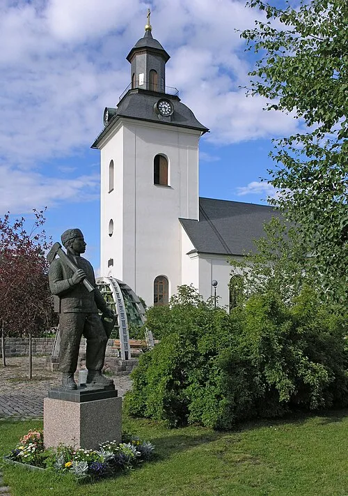 Sveg City, Härjedalen Municipality8.5 km SE
-
Sveg socken Village, Svegsbygden3.2 km SW
-
Ulvkälla Village, Härjedalen Municipality9.6 km SE
-
Ytterberg Village, Härjedalen Municipality11 km E
Nearby attractions & nature
Everything nearby-
Rosstjärnberget Mountain, Härjedalen Municipality5.6 km N
-
Digerberget Mountain, Härjedalen Municipality7.1 km NE
-
Granåsen Mountain, Härjedalen Municipality7.6 km NE
-
Sålnbergen Mountain, Härjedalen Municipality7.9 km NE
-
Svedberget Mountain, Härjedalen Municipality10 km E
-
Stor-Tävremmet Mountain, Härjedalen Municipality10 km NW
-
Tällberget Mountain, Härjedalen Municipality14 km NE
-
Höjderna Mountain, Härjedalen Municipality13 km S
Sources & licences
Data last updated: · 2 independent sources