Unna Jiertán
Located in Arvidsjaur Municipality, Norrbotten County Coordinates: 65°36′35″ N 18°18′12″ E
- Elevation
- 478 m
- above sea level
- Local time
- UTC+01:00
- Europe/Stockholm · UTC+01:00
- Airports
- AJR Arvidsjaur Airport45 km
- LYC Lycksele Airport120 km
About Unna Jiertán
Unna Jiertán is a mountain. Location: Arvidsjaur Municipality, Norrbotten County. Elevation: 478 m. The best months to visit are June–August. The nearest airport is Arvidsjaur Airport (45 km). Nearby sights include Stuor Jiertán and Gottberget.
Climate of Unna Jiertán
Best months for sightseeingBest months for sightseeing: June–August.
This month · November
A cold month
Day -4° · Night -11° · Rain 46 mm
- Hottest month
- July (day 18°)
- Coldest month
- January (night -18°)
- Wettest month
- July (87 mm)
- Driest month
- February (26 mm)
Bars: average monthly low and high temperature. Below: precipitation. Monthly averages for 1970–2000 at about 18 km resolution, adjusted for elevation. Highlighted months are mild and relatively dry. Source: WorldClim 2.1 (CC BY 4.0).
Show values as a table
| Month | Jan | Feb | Mar | Apr | May | Jun | Jul | Aug | Sep | Oct | Nov | Dec |
|---|---|---|---|---|---|---|---|---|---|---|---|---|
| Average high (°C) | -9° | -7° | -2° | 3° | 10° | 16° | 18° | 15° | 10° | 3° | -4° | -7° |
| Average low (°C) | -18° | -17° | -12° | -7° | 0° | 6° | 9° | 7° | 2° | -3° | -11° | -16° |
| Precipitation (mm) | 37 | 26 | 30 | 27 | 36 | 56 | 87 | 71 | 53 | 49 | 46 | 35 |
How to get to Unna Jiertán
The nearest airport is Arvidsjaur Airport (AJR), 45 km to the east as the crow flies. The nearest large city is Umeå, 219 km to the southeast.
Airports
- Arvidsjaur Airport (AJR) Arvidsjaur 45 kmeast
- Lycksele Airport (LYC) Lycksele 120 kmsouth
- Vilhelmina South Lapland Airport (VHM) Vilhelmina 134 kmsouthwest
Nearby large cities
- Umeå Population: 130.2K 219 kmsoutheast
Straight-line distances; road distances are longer. Airport data: OurAirports.
Day trips from Unna Jiertán
Within 100 km: 264 natural sites, 15 lakes, rivers and coasts.
0–25 km42 places
- Lillberget Mountain 19 kmNE
- Skavliden Mountain 15 kmE
- Rävaberget Mountain 17 kmE
- Norra Långträskberget Mountain 23 kmE
25–60 km113 places
- Aistop Mountain 59 kmNW
- Guorbåjvvie Mountain 26 kmNW
- Harrurliden Mountain 28 kmNW
- Tarfek Mountain 31 kmNW
60–100 km124 places
- Vallevare Mountain 84 kmNW
- Tjålmliden Mountain 64 kmNW
- Svartberget Mountain 92 kmNW
- Suotsfjället Mountain 89 kmW
Straight-line distances.
Nearest towns and villages
-
Slagnäs Village, Arjeplog Municipality6.7 km SW
-
Guojkkasuoluoj Village, Arjeplog Municipality10 km NW
-
Arvidsjaur Municipality, Arvidsjaur Municipality40 km E
-
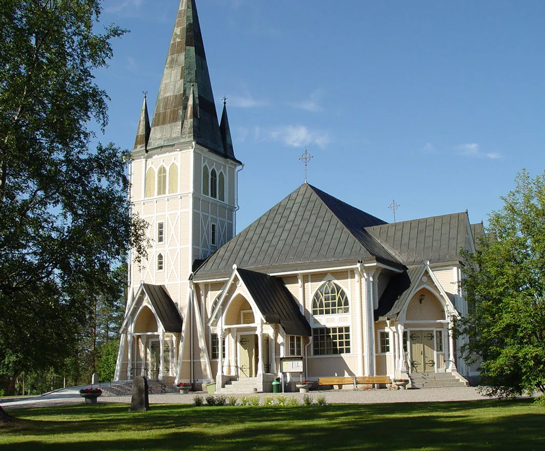 Arvidsjaur City, Arvidsjaur Municipality40 km E
-
Sorsele Municipality, Sorsele Municipality37 km W
-
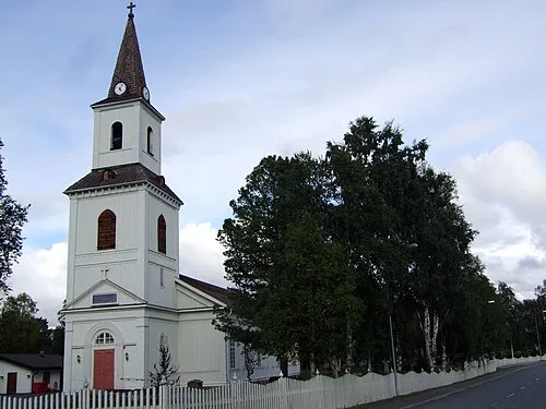 Sorsele City, Sorsele Municipality36 km W
Nearby attractions & nature
Everything nearby-
Stuor Jiertán Mountain, Arvidsjaur Municipality2.7 km S
-
Gottberget Mountain, Arvidsjaur Municipality3.5 km NW
-
Granliden Mountain, Arvidsjaur Municipality4.3 km SE
-
Skravelberget Mountain, Arvidsjaur Municipality6 km SE
-
Muörkienåjvvie Mountain, Arjeplog Municipality6.1 km NW
-
Trindberget Mountain, Arvidsjaur Municipality6.6 km SE
-
Vársávárrie Mountain, Arjeplog Municipality7.4 km N
-
Giejjavárrie Mountain, Arvidsjaur Municipality8.1 km SE
Sources & licences
Data last updated: · 2 independent sources