Vierkuovárrie
Located in Arvidsjaur Municipality, Norrbotten County Coordinates: 65°38′58″ N 19°36′12″ E
- Elevation
- 408 m
- above sea level
- Local time
- UTC+01:00
- Europe/Stockholm · UTC+01:00
- Airports
- AJR Arvidsjaur Airport16 km
- LLA Luleå Airport117 km
About Vierkuovárrie
Vierkuovárrie is a mountain. Location: Arvidsjaur Municipality, Norrbotten County. Elevation: 408 m. The best months to visit are June–August. The nearest airport is Arvidsjaur Airport (16 km). Nearby sights include Guortesliden and Storberget.
Climate of Vierkuovárrie
Best months for sightseeingBest months for sightseeing: June–August.
This month · November
A cold month
Day -3° · Night -10° · Rain 46 mm
- Hottest month
- July (day 19°)
- Coldest month
- January (night -16°)
- Wettest month
- July (82 mm)
- Driest month
- February (27 mm)
Bars: average monthly low and high temperature. Below: precipitation. Monthly averages for 1970–2000 at about 18 km resolution, adjusted for elevation. Highlighted months are mild and relatively dry. Source: WorldClim 2.1 (CC BY 4.0).
Show values as a table
| Month | Jan | Feb | Mar | Apr | May | Jun | Jul | Aug | Sep | Oct | Nov | Dec |
|---|---|---|---|---|---|---|---|---|---|---|---|---|
| Average high (°C) | -8° | -7° | -2° | 3° | 10° | 17° | 19° | 16° | 10° | 3° | -3° | -6° |
| Average low (°C) | -16° | -15° | -11° | -6° | 0° | 6° | 9° | 7° | 2° | -3° | -10° | -14° |
| Precipitation (mm) | 35 | 27 | 27 | 28 | 39 | 59 | 82 | 76 | 56 | 47 | 46 | 36 |
How to get to Vierkuovárrie
The nearest airport is Arvidsjaur Airport (AJR), 16 km to the southwest as the crow flies. For international flights: Luleå Airport (LLA) (117 km). The nearest large city is Umeå, 205 km to the south.
Airports
- Arvidsjaur Airport (AJR) Arvidsjaur 16 kmsouthwest
- Luleå Airport (LLA) Luleå 117 kmeast
- Lycksele Airport (LYC) Lycksele 130 kmsouth
Nearby large cities
- Umeå Population: 130.2K 205 kmsouth
Straight-line distances; road distances are longer. Airport data: OurAirports.
Day trips from Vierkuovárrie
Within 100 km: 226 natural sites, 18 lakes, rivers and coasts.
0–25 km31 places
- Sjteäddjiebákttie Mountain 23 kmE
- Stor-Klockarberget Mountain 23 kmS
- Granberget Mountain 20 kmSE
- Svartberget Mountain 13 kmS
25–60 km93 places
- Krutaberget Mountain 58 kmW
- Granberget Mountain 60 kmNW
- Norra Benbryteberget Mountain 32 kmNE
- Södra Hästberget Mountain 29 kmNE
60–100 km120 places
- Lillön Island 65 kmW
- Vársávárrie Mountain 63 kmW
- Vállegielas Mountain 63 kmW
- Striehtjáge Mountain 65 kmW
Straight-line distances.
Nearest towns and villages
-
Lauker Village, Arvidsjaur Municipality9.1 km E
-
Arvidsjaur Municipality, Arvidsjaur Municipality21 km W
-
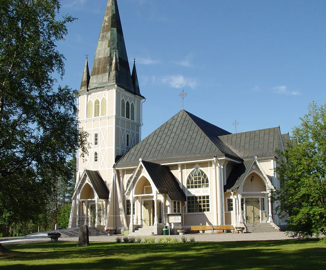 Arvidsjaur City, Arvidsjaur Municipality21 km W
-
Auktsjaur Village, Arvidsjaur Municipality15 km NW
-
Pjesker Village, Piteå Municipality15 km S
-
Arvidsjaur socken Village, Arvidsjaur16 km W
Nearby attractions & nature
Everything nearby-
Guortesliden Mountain, Arvidsjaur Municipality5 km S
-
Storberget Mountain, Arvidsjaur Municipality6.7 km NE
-
Lillberget Mountain, Arvidsjaur Municipality7 km S
-
Krampoberget Mountain, Arvidsjaur Municipality8.2 km S
-
Malberget Mountain, Arvidsjaur Municipality10 km E
-
Guossavárátje Mountain, Arvidsjaur Municipality10 km S
-
Svartberget Mountain, Arvidsjaur Municipality13 km S
-
Rättselberget Mountain, Arvidsjaur Municipality14 km NE
Sources & licences
Data last updated: · 2 independent sources