Kimstad socken
Located in Kimstad, Norrköping Municipality Coordinates: 58°32′10″ N 15°58′16″ E
- Elevation
- 49 m
- above sea level
- Local time
- UTC+01:00
- Europe/Stockholm · UTC+01:00
- Airports
- NRK Norrköping Airport17 km
- LPI Linköping City Airport22 km
About Kimstad socken
Kimstad socken is a village. Location: Kimstad, Norrköping Municipality. Elevation: 49 m. The best months to visit are June–August. The nearest airport is Norrköping Airport (17 km). Nearby sights include Borgs kyrka and Idrottsparken.
Climate of Kimstad socken
Best months for sightseeingBest months for sightseeing: June–August.
This month · November
A cold month
Day 5° · Night 0° · Rain 54 mm
- Hottest month
- July (day 22°)
- Coldest month
- February (night -6°)
- Wettest month
- July (70 mm)
- Driest month
- February (30 mm)
Bars: average monthly low and high temperature. Below: precipitation. Monthly averages for 1970–2000 at about 18 km resolution, adjusted for elevation. Highlighted months are mild and relatively dry. Source: WorldClim 2.1 (CC BY 4.0).
Show values as a table
| Month | Jan | Feb | Mar | Apr | May | Jun | Jul | Aug | Sep | Oct | Nov | Dec |
|---|---|---|---|---|---|---|---|---|---|---|---|---|
| Average high (°C) | 0° | 0° | 4° | 9° | 16° | 20° | 22° | 21° | 15° | 10° | 5° | 2° |
| Average low (°C) | -5° | -6° | -3° | 0° | 5° | 9° | 11° | 11° | 7° | 4° | 0° | -4° |
| Precipitation (mm) | 40 | 30 | 33 | 37 | 35 | 56 | 70 | 60 | 62 | 50 | 54 | 51 |
How to get to Kimstad socken
The nearest airport is Norrköping Airport (NRK), 17 km to the east as the crow flies. For international flights: Linköping City Airport (LPI) (22 km). The nearest large city is Örebro, 93 km to the northwest.
Airports
- Norrköping Airport (NRK) Norrköping 17 kmeast
- Linköping City Airport (LPI) Linköping 22 kmsouthwest
- Stockholm Skavsta Airport (NYO) Nyköping 61 kmnortheast
Nearby large cities
- Örebro Population: 156K 93 kmnorthwest
- Västerås Population: 127.8K 125 kmnorth
- Jönköping Population: 112.8K 136 kmsouthwest
- Stockholm Population: 1.5M 150 kmnortheast
- Sollentuna Population: 139.6K 151 kmnortheast
Straight-line distances; road distances are longer. Airport data: OurAirports.
Day trips from Kimstad socken
Within 100 km: 7 historic and cultural sites, 32 natural sites, 171 lakes, rivers and coasts.
0–25 km6 places
- Granholmen Island 8 kmNE
- Esterön Island 25 kmNE
- Östgötateatern Attraction 14 kmNE
- Borgs kyrka Attraction 8 kmNE
25–60 km49 places
- Kölvö Island 59 kmS
- Lindö Island 57 kmS
- Hargö Island 54 kmE
- Mögö Island 53 kmE
60–100 km155 places
- Arpsund Island 60 kmE
- Hersö Island 79 kmSE
- Ängsholmen Island 79 kmSE
- Hånö Island 82 kmNE
Straight-line distances.
Nearby attractions & nature
Everything nearby-
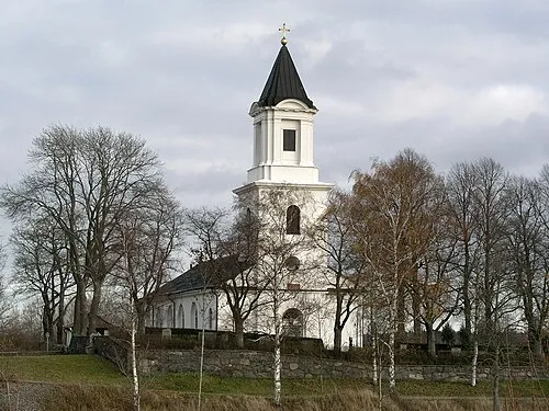 Borgs kyrka Attraction, Norrköping socken8.4 km NE
-
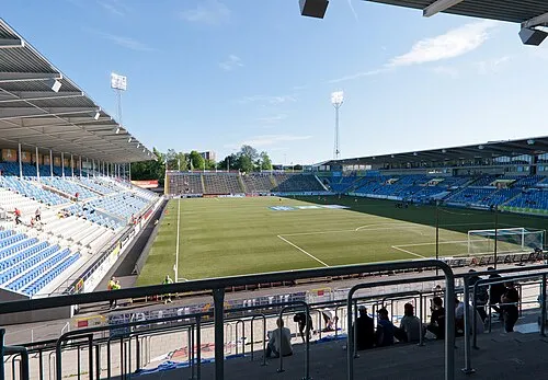 Idrottsparken Landmark, Norrköping socken13 km NE
-
Granholmen Island, Östergötland County8 km NE
-
Östgötateatern Attraction, Norrköping socken14 km NE
-
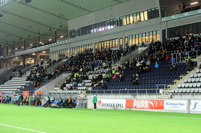 Linköping Arena Landmark, Linköping socken23 km SW
-
Esterön Island, Östergötland County25 km NE
Sources & licences
Data last updated: