Glumslöv socken
Located in Glumslöv, Landskrona Municipality Coordinates: 55°56′48″ N 12°47′36″ E
- Elevation
- 34 m
- above sea level
- Local time
- UTC+01:00
- Europe/Stockholm · UTC+01:00
- Airports
- CPH Copenhagen Kastrup Airport38 km
- AGH Ängelholm-Helsingborg Airport39 km
About Glumslöv socken
Glumslöv socken is a village. Location: Glumslöv, Landskrona Municipality. Elevation: 34 m. The best months to visit are June–August. The nearest airport is Copenhagen Kastrup Airport (38 km). Nearby sights include Landskrona Citadel and Olympia.
Climate of Glumslöv socken
Best months for sightseeingBest months for sightseeing: June–August.
This month · November
A cold month
Day 7° · Night 2° · Rain 57 mm
- Hottest month
- August (day 20°)
- Coldest month
- February (night -2°)
- Wettest month
- September (65 mm)
- Driest month
- February (29 mm)
Bars: average monthly low and high temperature. Below: precipitation. Monthly averages for 1970–2000 at about 18 km resolution, adjusted for elevation. Highlighted months are mild and relatively dry. Source: WorldClim 2.1 (CC BY 4.0).
Show values as a table
| Month | Jan | Feb | Mar | Apr | May | Jun | Jul | Aug | Sep | Oct | Nov | Dec |
|---|---|---|---|---|---|---|---|---|---|---|---|---|
| Average high (°C) | 2° | 2° | 5° | 10° | 15° | 19° | 20° | 20° | 16° | 12° | 7° | 4° |
| Average low (°C) | -2° | -2° | -1° | 2° | 7° | 10° | 13° | 12° | 9° | 6° | 2° | 0° |
| Precipitation (mm) | 46 | 29 | 43 | 37 | 40 | 54 | 61 | 59 | 65 | 55 | 57 | 54 |
How to get to Glumslöv socken
The nearest airport is Copenhagen Kastrup Airport (CPH), 38 km to the south as the crow flies. The nearest large city is Helsingborg, 13 km to the northwest.
Airports
- Copenhagen Kastrup Airport (CPH) Copenhagen 38 kmsouth
- Ängelholm-Helsingborg Airport (AGH) Ängelholm 39 kmnorth
- Copenhagen Roskilde Airport (RKE) Roskilde 58 kmsouthwest
Nearby large cities
- Helsingborg Population: 104.2K 13 kmnorthwest
- Copenhagen Population: 1.2M 33 kmsouthwest
- Malmö Population: 362.1K 40 kmsouth
- Aarhus Population: 285.3K 163 kmwest
- Odense Population: 180.9K 163 kmwest
Straight-line distances; road distances are longer. Airport data: OurAirports.
Day trips from Glumslöv socken
Within 100 km: 19 historic and cultural sites, 62 natural sites, 28 lakes, rivers and coasts.
0–25 km8 places
- Sandbjerg Mountain 23 kmSW
- Maglebjerg Mountain 23 kmSW
- Ulvedale Natural site 23 kmSW
- Egebæksvang Kirke Attraction 15 kmW
25–60 km50 places
- Amager Island 38 kmS
- Fisketorvet Havnebad Beach 35 kmSW
- Yttre Hallö Island 53 kmN
- Yttre Grytskären Island 45 kmN
60–100 km51 places
- Sjælland Island 82 kmSW
- Trolddal Natural site 94 kmW
- Gislövs Strandmark Beach 74 kmSE
- Solbakken Naturistcamping - beach Beach 65 kmSW
Straight-line distances.
Nearby attractions & nature
Everything nearby-
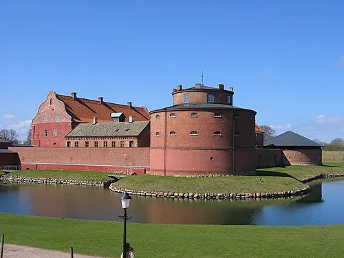 Landskrona Citadel Historic site, Landskrona socken8.4 km S
-
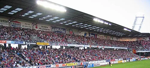 Olympia Landmark, Helsingborg13 km NW
-
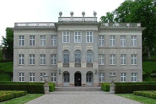 Marienlyst Castle Historic site, Helsingør Kommune16 km NW
-
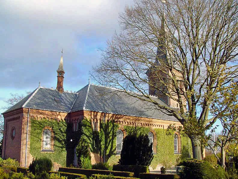 Egebæksvang Kirke Attraction, Helsingør Kommune15 km W
-
Maglebjerg Mountain, Rudersdal Kommune23 km SW
-
Sandbjerg Mountain, Rudersdal Kommune23 km SW
Sources & licences
Data last updated: