Stocksund
Located in Danderyd Municipality, Stockholm County Coordinates: 59°23′00″ N 18°04′00″ E
- Elevation
- 23 m
- above sea level
- Local time
- UTC+01:00
- Europe/Stockholm · UTC+01:00
- Airports
- BMA Stockholm-Bromma Airport8 km
- ARN Stockholm-Arlanda Airport31 km
About Stocksund
Stocksund is a village. Location: Danderyd Municipality, Stockholm County. Elevation: 23 m.
Stocksund (Swedish pronunciation: [stɔkˈsɵnːd]) is an upper-class suburb in Metropolitan Stockholm, Sweden. Located immediately across the Edsviken and Stocksundet from Bergshamra, Stocksund is one of four parts of Danderyd Municipality north of Stockholm, which is the most affluent municipality of Sweden. Average real estate prices for houses are the highest in Sweden, similar to the neighbouring Djursholm. It was the site of the Stocksund Studios film and television studios based in a former power station.
Source: Wikipedia · CC BY-SA 4.0
Photos of Stocksund
-
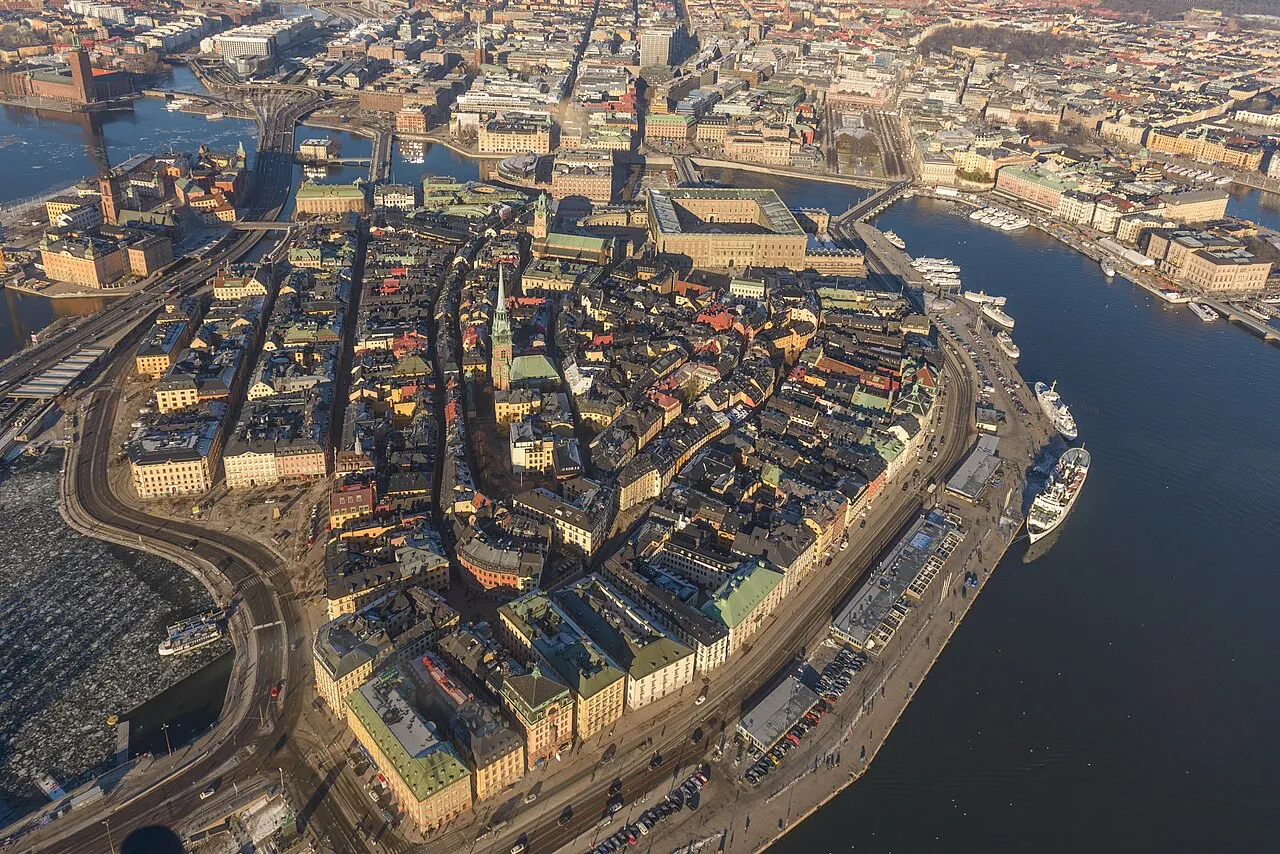
Stadsholmen Arild Vågen · CC BY-SA 3.0 -
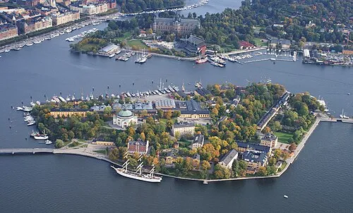
Skeppsholmen Jan Ainali · CC BY-SA 3.0 -
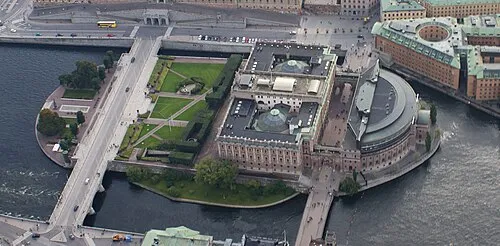
Helgeandsholmen Jan Ainali · CC BY-SA 3.0 -
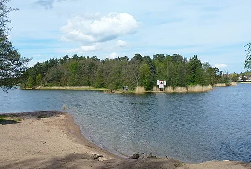
Kaninholmen Holger.Ellgaard · CC BY-SA 4.0 -
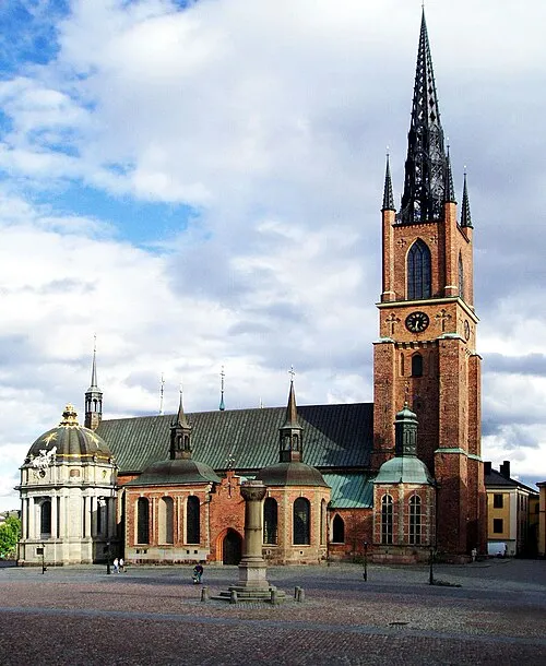
Riddarholm Church Nordelch · CC BY-SA 3.0


Climate of Stocksund
Best months for sightseeingBest months for sightseeing: June–August.
This month · November
A cold month
Day 4° · Night 0° · Rain 55 mm
- Hottest month
- July (day 22°)
- Coldest month
- February (night -6°)
- Wettest month
- July (70 mm)
- Driest month
- February (26 mm)
Bars: average monthly low and high temperature. Below: precipitation. Monthly averages for 1970–2000 at about 18 km resolution, adjusted for elevation. Highlighted months are mild and relatively dry. Source: WorldClim 2.1 (CC BY 4.0).
Show values as a table
| Month | Jan | Feb | Mar | Apr | May | Jun | Jul | Aug | Sep | Oct | Nov | Dec |
|---|---|---|---|---|---|---|---|---|---|---|---|---|
| Average high (°C) | 0° | 0° | 3° | 9° | 16° | 20° | 22° | 21° | 15° | 10° | 4° | 1° |
| Average low (°C) | -5° | -6° | -3° | 0° | 5° | 10° | 13° | 12° | 8° | 4° | 0° | -4° |
| Precipitation (mm) | 38 | 26 | 32 | 35 | 29 | 52 | 70 | 60 | 54 | 50 | 55 | 46 |
How to get to Stocksund
The nearest airport is Stockholm-Bromma Airport (BMA), 8 km to the southwest as the crow flies. For international flights: Stockholm-Arlanda Airport (ARN) (31 km). The nearest large city is Stockholm, 6 km to the south.
Airports
- Stockholm-Bromma Airport (BMA) Stockholm 8 kmsouthwest
- Stockholm-Arlanda Airport (ARN) Stockholm 31 kmnorth
- Stockholm Västerås Airport (VST) Stockholm / Västerås 84 kmwest
Nearby large cities
- Stockholm Population: 1.5M 6 kmsouth
- Sollentuna Population: 139.6K 8 kmnorthwest
- Västerås Population: 127.8K 90 kmwest
- Örebro Population: 156K 163 kmwest
- Jönköping Population: 112.8K 289 kmsouthwest
Straight-line distances; road distances are longer. Airport data: OurAirports.
Day trips from Stocksund
Within 100 km: 38 historic and cultural sites, 79 natural sites, 1,109 lakes, rivers and coasts.
0–25 km75 places
- Rindö Island 19 kmE
- Stadsholmen Island 7 kmS
- Skeppsholmen Island 7 kmS
- Resarö Island 16 kmE
25–60 km850 places
- Runmarö Island 41 kmE
- Husarö Island 46 kmE
- Granskär Island 46 kmW
- Galtholmen Island 35 kmE
60–100 km301 places
- Lillö Island 80 kmE
- Högholmen Natural site 66 kmNE
- Hamnholmen Island 70 kmNE
- Bredholmen Island 61 kmNE
Straight-line distances.
Nearby attractions & nature
Everything nearby-
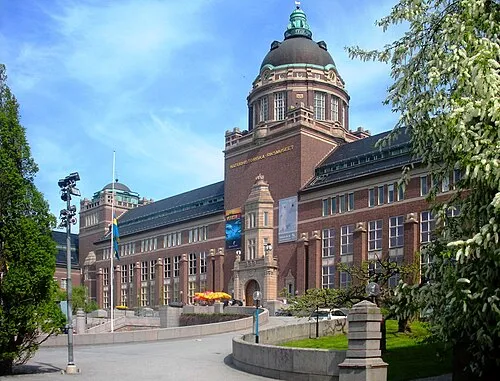 Swedish Museum of Natural History Museum, Stockholm Municipality1.7 km SW
-
Bockholmen Island, Stockholm County1 km SW
-
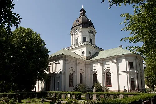 Adolf Fredrik Church Attraction, Stockholm5.1 km S
-
Kaninholmen Island, Stockholm County3.4 km NW
-
 Maximteatern Attraction, Stockholm5.3 km S
-
Riddarholm Church Attraction, Stockholm Municipality6.5 km S
Sources & licences
Data last updated: · 2 independent sources