Stenhamra
Located in Ekerö Municipality, Stockholm County Coordinates: 59°20′04″ N 17°41′18″ E
- Population
- 3,588
- 3.6K
- Elevation
- 19 m
- above sea level
- Local time
- UTC+01:00
- Europe/Stockholm · UTC+01:00
- Airports
- BMA Stockholm-Bromma Airport15 km
- ARN Stockholm-Arlanda Airport38 km
About Stenhamra
Stenhamra is a village. Location: Ekerö Municipality, Stockholm County. Population: 3,588. Elevation: 19 m.
Stenhamra is a locality situated on the island Färingsö in Sweden's Lake Mälaren. The island is located in Ekerö Municipality, Stockholm County. It had 3,336 inhabitants as of 2010. The specialized Children's Library of Stenhamra (Barnens eget bibliotek i Stenhamra) is located here.
Source: Wikipedia · CC BY-SA 4.0
At a glance
- Area
- 3.7 km²
Source: Wikidata
Population of Stenhamra over time
| 1960 | 377 | |
|---|---|---|
| 1965 | 471 | |
| 1970 | 1,844 | |
| 2005 | 3,280 | |
| 2010 | 3,336 | |
| 2015 | 3,588 | |
| 2016 | 3,604 | |
| 2017 | 3,624 | |
| 2018 | 3,559 | |
| 2019 | 3,591 | |
| 2020 | 3,636 | |
| 2023 | 3,743 |
Censuses and official estimates; source: Wikidata.
Climate of Stenhamra
Best months for sightseeingBest months for sightseeing: June–August.
This month · November
A cold month
Day 5° · Night 0° · Rain 50 mm
- Hottest month
- July (day 21°)
- Coldest month
- February (night -6°)
- Wettest month
- July (70 mm)
- Driest month
- February (25 mm)
Bars: average monthly low and high temperature. Below: precipitation. Monthly averages for 1970–2000 at about 18 km resolution, adjusted for elevation. Highlighted months are mild and relatively dry. Source: WorldClim 2.1 (CC BY 4.0).
Show values as a table
| Month | Jan | Feb | Mar | Apr | May | Jun | Jul | Aug | Sep | Oct | Nov | Dec |
|---|---|---|---|---|---|---|---|---|---|---|---|---|
| Average high (°C) | 0° | 0° | 3° | 8° | 15° | 20° | 21° | 20° | 15° | 10° | 5° | 2° |
| Average low (°C) | -5° | -6° | -3° | 0° | 5° | 10° | 12° | 12° | 8° | 4° | 0° | -3° |
| Precipitation (mm) | 34 | 25 | 31 | 34 | 31 | 54 | 70 | 58 | 52 | 49 | 50 | 43 |
How to get to Stenhamra
The nearest airport is Stockholm-Bromma Airport (BMA), 15 km to the east as the crow flies. For international flights: Stockholm-Arlanda Airport (ARN) (38 km). The nearest large city is Sollentuna, 18 km to the northeast.
Airports
- Stockholm-Bromma Airport (BMA) Stockholm 15 kmeast
- Stockholm-Arlanda Airport (ARN) Stockholm 38 kmnorth
- Stockholm Västerås Airport (VST) Stockholm / Västerås 66 kmnorthwest
Nearby large cities
- Sollentuna Population: 139.6K 18 kmnortheast
- Stockholm Population: 1.5M 22 kmeast
- Västerås Population: 127.8K 72 kmnorthwest
- Örebro Population: 156K 142 kmwest
- Jönköping Population: 112.8K 269 kmsouthwest
Straight-line distances; road distances are longer. Airport data: OurAirports.
Nearby attractions & nature
Everything nearby-
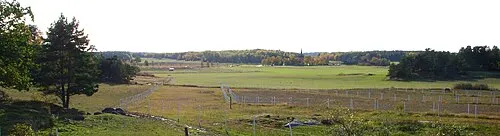 Lovön Island, Stockholm County8.2 km E
-
Lillön Island, Stockholm County5.8 km S
-
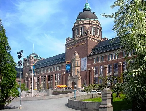 Swedish Museum of Natural History Museum, Stockholm Municipality21 km E
-
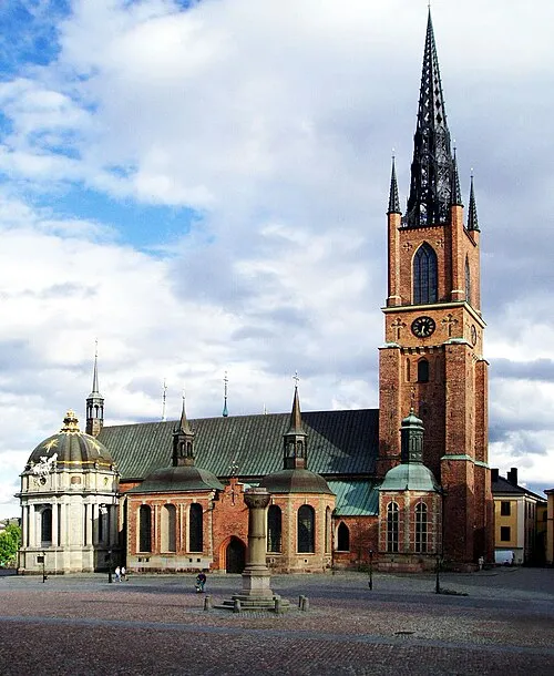 Riddarholm Church Attraction, Stockholm Municipality21 km E
-
Eldgarnsön Island, Ekerö Municipality11 km N
-
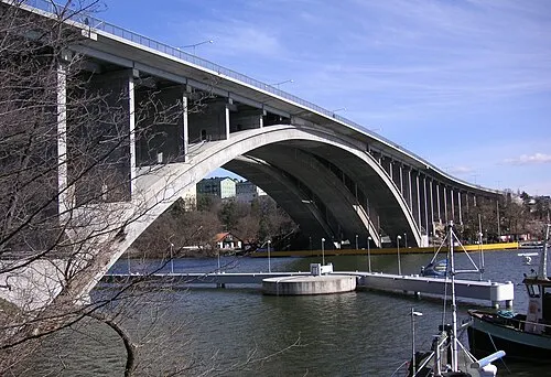 Tranebergsbron Landmark, Stockholm17 km E
Sources & licences
Data last updated: · 2 independent sources